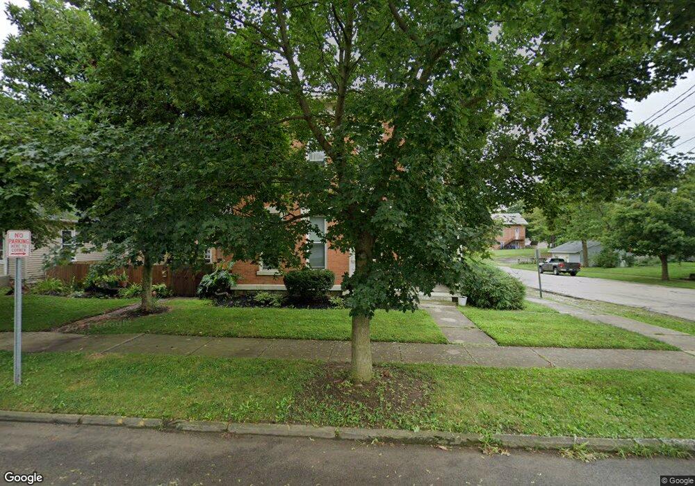
81 Park Ave Unit 81 1/2 Delaware, OH 43015
Estimated Value: $371,000 - $393,000
4
Beds
3
Baths
2,668
Sq Ft
$144/Sq Ft
Est. Value
About This Home
This home is located at 81 Park Ave Unit 81 1/2, Delaware, OH 43015 and is currently estimated at $383,711, approximately $143 per square foot. 81 Park Ave Unit 81 1/2 is a home located in Delaware County with nearby schools including Laura Woodward Elementary School, John C. Dempsey Middle School, and Rutherford B. Hayes High School.
Ownership History
Date
Name
Owned For
Owner Type
Purchase Details
Closed on
Oct 14, 2021
Sold by
Iag Ltd
Bought by
Harbour Properties Llc
Current Estimated Value
Home Financials for this Owner
Home Financials are based on the most recent Mortgage that was taken out on this home.
Original Mortgage
$264,000
Outstanding Balance
$234,695
Interest Rate
3.05%
Estimated Equity
$149,016
Purchase Details
Closed on
Sep 5, 2014
Sold by
Smith Family Enterprises Ltd
Bought by
Iag Ltd
Create a Home Valuation Report for This Property
The Home Valuation Report is an in-depth analysis detailing your home's value as well as a comparison with similar homes in the area
Home Values in the Area
Average Home Value in this Area
Purchase History
We collect this data history from publicly available records. To have your information removed, we recommend requesting removal directly through your county’s website.
| Date | Buyer | Sale Price | Title Company |
|---|---|---|---|
| Harbour Properties Llc | $330,000 | Cbus Title | |
| Iag Ltd | $47,500 | Performance Title Dayton |
Source: Public Records
Mortgage History
We collect this data history from publicly available records. To have your information removed, we recommend requesting removal directly through your county’s website.
| Date | Status | Borrower | Loan Amount |
|---|---|---|---|
| Open | Harbour Properties Llc | $264,000 |
Source: Public Records
Tax History
| Year | Tax Paid | Tax Assessment Tax Assessment Total Assessment is a certain percentage of the fair market value that is determined by local assessors to be the total taxable value of land and additions on the property. | Land | Improvement |
|---|---|---|---|---|
| 2024 | $5,536 | $114,420 | $9,450 | $104,970 |
| 2023 | $5,546 | $114,420 | $9,450 | $104,970 |
| 2022 | $6,448 | $115,510 | $7,670 | $107,840 |
| 2021 | $2,741 | $48,060 | $7,670 | $40,390 |
| 2020 | $2,776 | $48,060 | $7,670 | $40,390 |
| 2019 | $2,875 | $45,120 | $6,650 | $38,470 |
| 2018 | $2,914 | $45,120 | $6,650 | $38,470 |
| 2017 | $2,887 | $40,540 | $6,130 | $34,410 |
| 2016 | $2,398 | $40,540 | $6,130 | $34,410 |
| 2015 | $1,874 | $31,500 | $6,090 | $25,410 |
| 2014 | $1,904 | $31,500 | $6,090 | $25,410 |
| 2013 | $1,914 | $31,500 | $6,090 | $25,410 |
Source: Public Records
Map
Nearby Homes
- 2068 S Liberty St
- 44 Bernard Ave
- 28 S Franklin St
- 103 Oak Hill Ave
- 168 London Rd
- 190 W William St
- 82 N Washington St
- 167 W Central Ave
- 63 Coldstone Ct
- 297 W William St
- 128 Columbus Ave
- 15 Woodland Ave
- 351 W William St
- 3058 Brian Way
- 77 W Lincoln Ave
- 168 E Central Ave
- 105 English Terrace
- 229 N Sandusky St
- 111 Campbell St
- 263 N Franklin St
Your Personal Tour Guide
Ask me questions while you tour the home.