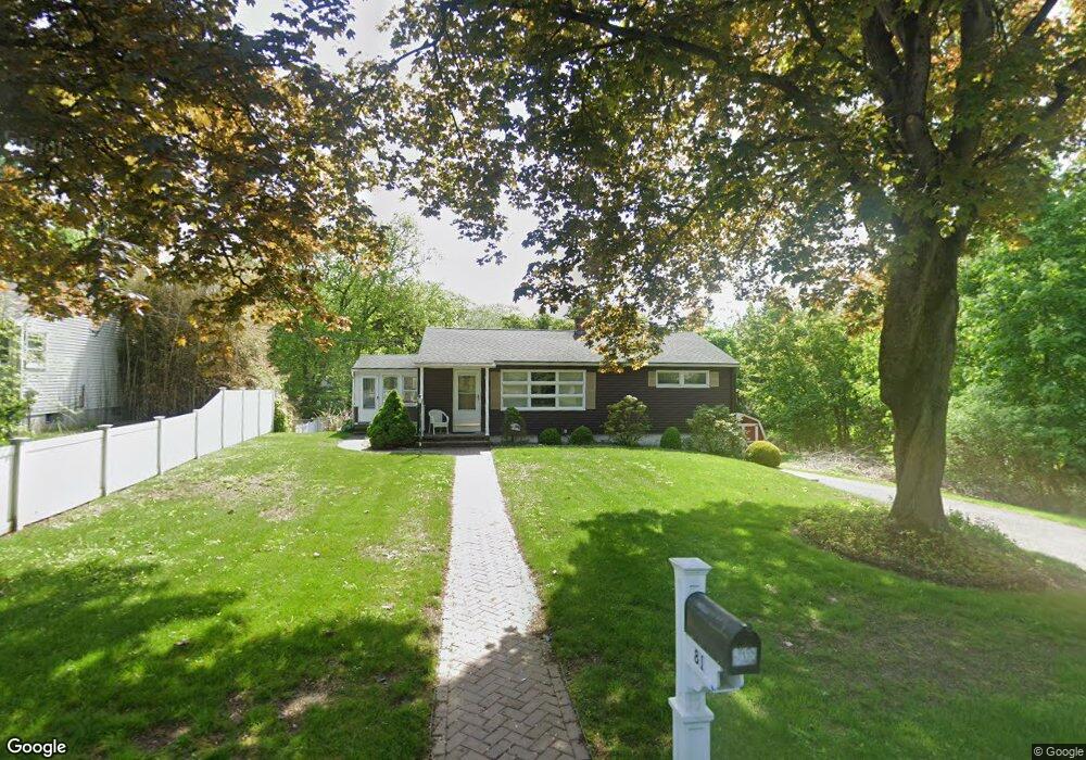
81 Paulson Dr West Springfield, MA 01089
Estimated Value: $322,000 - $334,000
3
Beds
2
Baths
1,014
Sq Ft
$321/Sq Ft
Est. Value
About This Home
This home is located at 81 Paulson Dr, West Springfield, MA 01089 and is currently estimated at $325,770, approximately $321 per square foot. 81 Paulson Dr is a home located in Hampden County with nearby schools including West Springfield High School, Hampden Charter School of Science West, and St Thomas The Apostle School.
Create a Home Valuation Report for This Property
The Home Valuation Report is an in-depth analysis detailing your home's value as well as a comparison with similar homes in the area
Home Values in the Area
Average Home Value in this Area
Tax History
| Year | Tax Paid | Tax Assessment Tax Assessment Total Assessment is a certain percentage of the fair market value that is determined by local assessors to be the total taxable value of land and additions on the property. | Land | Improvement |
|---|---|---|---|---|
| 2025 | $3,819 | $256,800 | $109,000 | $147,800 |
| 2024 | $3,769 | $254,500 | $109,000 | $145,500 |
| 2023 | $3,487 | $224,400 | $109,000 | $115,400 |
| 2022 | $3,161 | $200,600 | $98,900 | $101,700 |
| 2021 | $3,115 | $184,300 | $92,000 | $92,300 |
| 2020 | $3,111 | $183,100 | $92,000 | $91,100 |
| 2019 | $3,105 | $183,100 | $92,000 | $91,100 |
| 2018 | $3,122 | $183,100 | $92,000 | $91,100 |
| 2017 | $3,122 | $183,100 | $92,000 | $91,100 |
| 2016 | $3,072 | $180,800 | $88,400 | $92,400 |
| 2015 | $3,011 | $177,200 | $86,600 | $90,600 |
| 2014 | $730 | $177,200 | $86,600 | $90,600 |
Source: Public Records
Map
Nearby Homes
- 750 Amostown Rd
- 0 Ahiska Rd Unit 73477754
- 240 Morton St
- 61 Clarence St
- 88 Verdugo St
- 65 Verdugo St
- 62 Talcott Ave
- 34 High Meadow Dr
- 36 Shady Brook
- 2 Windpath E
- 65 Churchill Rd
- 81 Chestnut St
- 1996 Westfield St
- 32 Maple St
- 917 Elm St
- 115 Grove St
- 20-22 Gay Terrace
- 31 North Blvd
- 404 Brush Hill Ave
- 58 Field St
Your Personal Tour Guide
Ask me questions while you tour the home.