81 Poocham Rd West Chesterfield, NH 03466
Estimated Value: $530,000 - $1,359,000
5
Beds
2
Baths
3,373
Sq Ft
$272/Sq Ft
Est. Value
About This Home
This home is located at 81 Poocham Rd, West Chesterfield, NH 03466 and is currently estimated at $916,638, approximately $271 per square foot. 81 Poocham Rd is a home with nearby schools including Chesterfield Central School, Mayland Early College High School, and Keene High School.
Ownership History
Date
Name
Owned For
Owner Type
Purchase Details
Closed on
Sep 19, 2016
Sold by
Anderson W D and Anderson Margaret G
Bought by
W David R
Current Estimated Value
Purchase Details
Closed on
Dec 29, 2010
Sold by
Up North Rt
Bought by
Anderson David and Anderson Margaret G
Home Financials for this Owner
Home Financials are based on the most recent Mortgage that was taken out on this home.
Original Mortgage
$400,000
Interest Rate
4.37%
Mortgage Type
Purchase Money Mortgage
Create a Home Valuation Report for This Property
The Home Valuation Report is an in-depth analysis detailing your home's value as well as a comparison with similar homes in the area
Home Values in the Area
Average Home Value in this Area
Purchase History
| Date | Buyer | Sale Price | Title Company |
|---|---|---|---|
| W David R | -- | -- | |
| Anderson David | $545,000 | -- |
Source: Public Records
Mortgage History
| Date | Status | Borrower | Loan Amount |
|---|---|---|---|
| Previous Owner | Anderson David | $400,000 |
Source: Public Records
Tax History Compared to Growth
Tax History
| Year | Tax Paid | Tax Assessment Tax Assessment Total Assessment is a certain percentage of the fair market value that is determined by local assessors to be the total taxable value of land and additions on the property. | Land | Improvement |
|---|---|---|---|---|
| 2024 | $12,349 | $610,148 | $102,648 | $507,500 |
| 2023 | $11,663 | $588,456 | $102,856 | $485,600 |
| 2022 | $11,194 | $576,423 | $104,223 | $472,200 |
| 2021 | $10,967 | $576,931 | $104,731 | $472,200 |
| 2020 | $12,357 | $546,520 | $76,520 | $470,000 |
| 2019 | $11,368 | $509,310 | $76,710 | $432,600 |
| 2018 | $10,268 | $509,310 | $76,710 | $432,600 |
| 2016 | $10,828 | $509,310 | $76,710 | $432,600 |
| 2014 | $11,319 | $509,620 | $77,020 | $432,600 |
Source: Public Records
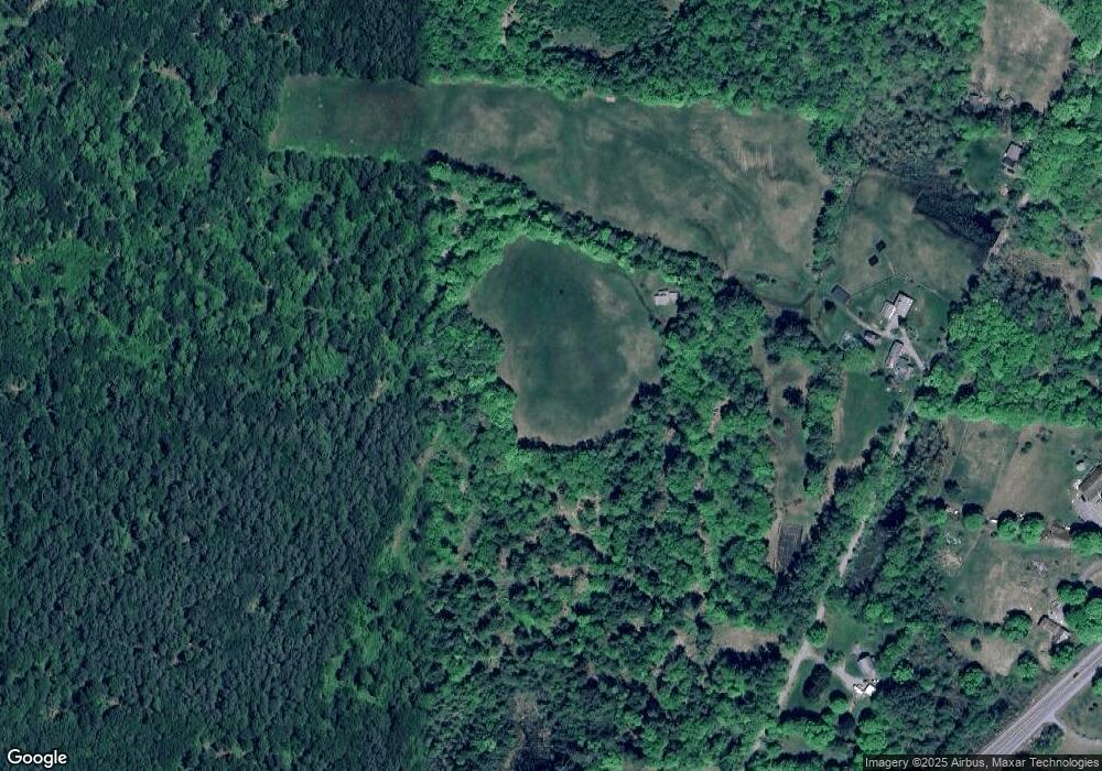
Map
Nearby Homes
- 821 Route 9
- 123 Poocham Rd
- 0 Stow Dr Unit 4929741
- 136 Cross Rd
- 85 Foley Rd
- 00 Orchard Rd Unit 1
- 30 Farr Rd
- Lot 20 -20.3 Farr Rd
- 1123 River Rd
- 36 Canal St
- 563 N Shore Rd
- 48 Church St
- 43 Westmoreland Rd
- 932 Middle Rd
- 31 Crescent Dr
- 161 Buttonwood Dr
- 162 Buttonwood Dr
- 16 Vermont Ave
- 50 Terrace St
- 39 Williston St
- 14 Stoddard Dr
- 94 Poocham Rd
- 95 Poocham Rd
- 105 Poocham Rd
- 48 Poocham Rd
- 835 Route 9
- 0 Rte 9 & Mill Rd
- 0 Rte 9 & Mill Rd Unit 4511045
- 0 Rte 9 & Mill Rd Unit 4511456
- 820 Route 9
- 823 Route 9 W
- 122 Poocham Rd
- 29 Poocham Rd
- 783 Route 9
- lot 4 Larkin
- 880 New Hampshire 9
- 810 Route 9
- 869 Route 9
- 133 Poocham Rd
- 74 Brattleboro Rd