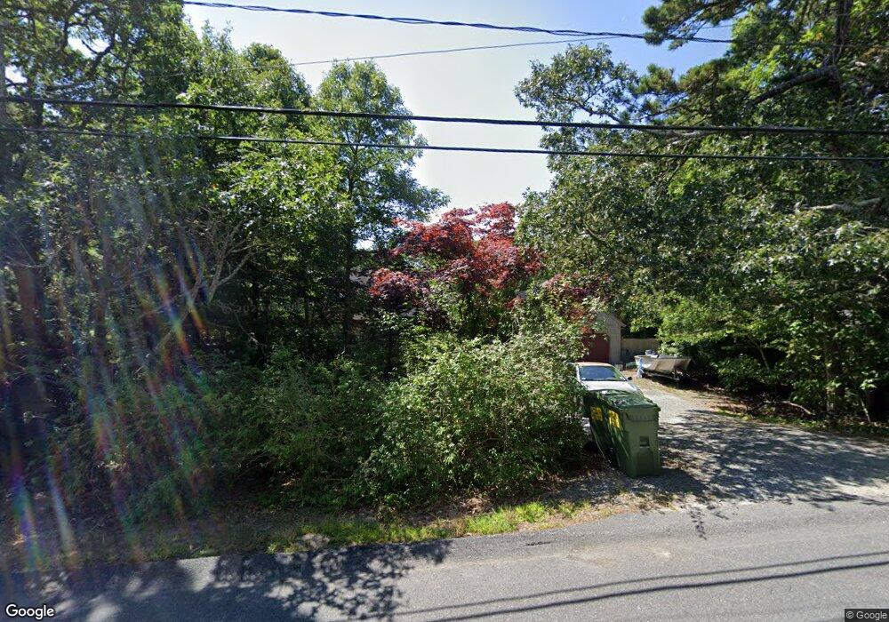
81 Quanset Rd Orleans, MA 02653
Estimated Value: $945,394 - $1,185,000
3
Beds
3
Baths
1,700
Sq Ft
$648/Sq Ft
Est. Value
About This Home
This home is located at 81 Quanset Rd, Orleans, MA 02653 and is currently estimated at $1,100,849, approximately $647 per square foot. 81 Quanset Rd is a home located in Barnstable County with nearby schools including Orleans Elementary School, Nauset Regional Middle School, and Nauset Regional High School.
Ownership History
Date
Name
Owned For
Owner Type
Purchase Details
Closed on
Feb 26, 2019
Sold by
Loparto Jeremy L and Loparto Leonard W
Bought by
Loparto Jeremy L
Current Estimated Value
Purchase Details
Closed on
Oct 14, 2011
Sold by
Loparto Leonard W
Bought by
Loparto Leonard W and Loparto Jeremy L
Home Financials for this Owner
Home Financials are based on the most recent Mortgage that was taken out on this home.
Original Mortgage
$370,000
Interest Rate
4.25%
Mortgage Type
Purchase Money Mortgage
Purchase Details
Closed on
Jan 14, 2005
Sold by
Lennon Anne and Lennon John
Bought by
Loparto Leonard W
Home Financials for this Owner
Home Financials are based on the most recent Mortgage that was taken out on this home.
Original Mortgage
$485,910
Interest Rate
5.81%
Mortgage Type
Purchase Money Mortgage
Create a Home Valuation Report for This Property
The Home Valuation Report is an in-depth analysis detailing your home's value as well as a comparison with similar homes in the area
Home Values in the Area
Average Home Value in this Area
Purchase History
| Date | Buyer | Sale Price | Title Company |
|---|---|---|---|
| Loparto Jeremy L | -- | Platinum Title | |
| Loparto Leonard W | -- | -- | |
| Loparto Leonard W | $539,900 | -- |
Source: Public Records
Mortgage History
| Date | Status | Borrower | Loan Amount |
|---|---|---|---|
| Previous Owner | Loparto Leonard W | $370,000 | |
| Previous Owner | Loparto Leonard W | $485,910 |
Source: Public Records
Tax History Compared to Growth
Tax History
| Year | Tax Paid | Tax Assessment Tax Assessment Total Assessment is a certain percentage of the fair market value that is determined by local assessors to be the total taxable value of land and additions on the property. | Land | Improvement |
|---|---|---|---|---|
| 2025 | $4,792 | $767,900 | $269,700 | $498,200 |
| 2024 | $4,770 | $744,100 | $264,400 | $479,700 |
| 2023 | $4,289 | $688,500 | $244,800 | $443,700 |
| 2022 | $3,691 | $512,700 | $197,800 | $314,900 |
| 2021 | $3,611 | $460,600 | $197,300 | $263,300 |
| 2020 | $3,388 | $448,200 | $186,400 | $261,800 |
| 2019 | $3,240 | $437,800 | $181,200 | $256,600 |
| 2018 | $2,787 | $420,300 | $177,700 | $242,600 |
| 2017 | $2,589 | $409,000 | $177,700 | $231,300 |
| 2016 | $2,623 | $406,100 | $176,200 | $229,900 |
| 2015 | $2,563 | $399,200 | $172,800 | $226,400 |
Source: Public Records
Map
Nearby Homes
- 30 Grannys Ln
- 5 Blackberry Ln
- 34 Uncle Israel Rd
- 5 Wesquansett Rd
- 6 Monomoy Ln
- 17 Crescent Ridge Way
- 2 Carolines Way
- 4 Monomoy Ln
- 8 Monomoy Ln
- 2 Monomoy Ln
- 40 Toms Hollow Ln
- 6 Sturbridge Dr
- 193 Quanset Rd
- 102 Portanimicut Rd
- 19 Ridgewood Rd
- 532 S Orleans Rd
- 77 Towhee Ln
- 42 Towhee Ln
- 37 Eli Rogers Rd
- 0 Quanset Rd
- 128 Quanset Rd
- 98 Quanset Rd
- 77 Quanset Rd
- 75 Uncle Israel Rd
- 75 Uncle Israel's Rd
- 85 Quanset Rd
- 75 Quanset Rd
- 79 Uncle Israel Rd
- 68 Uncle Israel Rd
- 73 Uncle Israel Rd
- 73 Uncle Israel's Rd
- 67 Uncle Israel's Rd
- 67 Uncle Israel Rd
- 64 Uncle Israel Rd
- 64 Uncle Israel's Rd
- 69 Quanset Rd
- 67 Unc Israels
- 63 Uncle Israel Rd
- 7 Aunt Abigail's