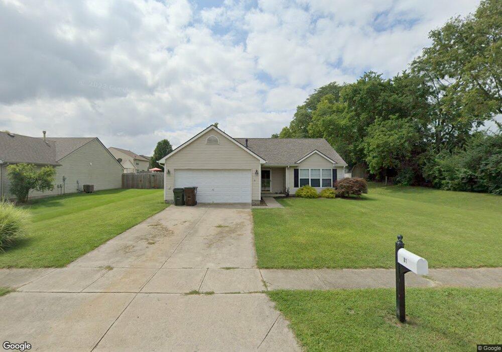
81 Rolling Hills Dr Franklin, OH 45005
Estimated Value: $261,000 - $294,068
3
Beds
2
Baths
1,444
Sq Ft
$197/Sq Ft
Est. Value
About This Home
This home is located at 81 Rolling Hills Dr, Franklin, OH 45005 and is currently estimated at $285,017, approximately $197 per square foot. 81 Rolling Hills Dr is a home located in Warren County with nearby schools including Franklin High School.
Ownership History
Date
Name
Owned For
Owner Type
Purchase Details
Closed on
Jun 23, 2011
Sold by
Lane Michael B and Lane Angela K
Bought by
Ryan Dustin M
Current Estimated Value
Home Financials for this Owner
Home Financials are based on the most recent Mortgage that was taken out on this home.
Original Mortgage
$50,000
Outstanding Balance
$34,469
Interest Rate
4.63%
Mortgage Type
New Conventional
Estimated Equity
$250,548
Purchase Details
Closed on
Oct 18, 2001
Sold by
Cristo Group Inc
Bought by
Lane Michael B and Lane Angela K
Home Financials for this Owner
Home Financials are based on the most recent Mortgage that was taken out on this home.
Original Mortgage
$119,956
Interest Rate
6.92%
Mortgage Type
FHA
Create a Home Valuation Report for This Property
The Home Valuation Report is an in-depth analysis detailing your home's value as well as a comparison with similar homes in the area
Home Values in the Area
Average Home Value in this Area
Purchase History
| Date | Buyer | Sale Price | Title Company |
|---|---|---|---|
| Ryan Dustin M | $100,000 | Landmark Title Agency South | |
| Lane Michael B | $120,904 | -- |
Source: Public Records
Mortgage History
| Date | Status | Borrower | Loan Amount |
|---|---|---|---|
| Open | Ryan Dustin M | $50,000 | |
| Previous Owner | Lane Michael B | $119,956 |
Source: Public Records
Tax History Compared to Growth
Tax History
| Year | Tax Paid | Tax Assessment Tax Assessment Total Assessment is a certain percentage of the fair market value that is determined by local assessors to be the total taxable value of land and additions on the property. | Land | Improvement |
|---|---|---|---|---|
| 2024 | $3,548 | $73,110 | $22,750 | $50,360 |
| 2023 | $3,012 | $55,335 | $12,390 | $42,945 |
| 2022 | $2,956 | $55,335 | $12,390 | $42,945 |
| 2021 | $2,808 | $55,335 | $12,390 | $42,945 |
| 2020 | $2,702 | $46,893 | $10,500 | $36,393 |
| 2019 | $2,358 | $46,893 | $10,500 | $36,393 |
| 2018 | $2,363 | $46,893 | $10,500 | $36,393 |
| 2017 | $2,239 | $40,667 | $9,247 | $31,420 |
| 2016 | $2,319 | $40,667 | $9,247 | $31,420 |
| 2015 | $2,317 | $40,667 | $9,247 | $31,420 |
| 2014 | $2,244 | $39,480 | $8,980 | $30,500 |
| 2013 | $1,927 | $46,180 | $10,500 | $35,680 |
Source: Public Records
Map
Nearby Homes
- 22 Green Meadow Ct
- 6801 Gorsuch Rd
- 11 Field Crest Dr
- 155 Green Knoll Dr
- 262 Long Meadow Dr
- 995 E 4th St
- 7657 Sharts Rd
- 16 Harding Ct
- 191 Lakeview Dr
- 470 Sandy Ln
- 602 Millard Dr
- 590 Kristine Ln
- 4491 Michaels Dr
- 760 David Blvd
- 164 Charles Ct
- 0 Kathy Ln Unit 930066
- 0 Kathy Ln Unit 1834240
- 747 David Blvd
- 41 Louise Dr
- 45 Libby Hollow St
- 71 Rolling Hills Dr
- 10 Broadcrest Dr
- 61 Rolling Hills Dr
- 72 Rolling Hills Dr
- 20 Broadcrest Dr
- 62 Rolling Hills Dr
- 30 Broadcrest Dr
- 52 Rolling Hills Dr
- 41 Rolling Hills Dr
- 15 Broadcrest Dr
- 42 Rolling Hills Dr
- 40 Broadcrest Dr
- 25 Broadcrest Dr
- 31 Rolling Hills Dr
- 35 Broadcrest Dr
- 32 Rolling Hills Dr
- 45 Broadcrest Dr
- 60 Broadcrest Dr
- 11 Rolling Hills Dr
- 22 Rolling Hills Dr