81 Spar Cove Rd Freeport, ME 04032
Estimated Value: $2,461,370 - $2,659,000
3
Beds
5
Baths
3,776
Sq Ft
$673/Sq Ft
Est. Value
About This Home
This home is located at 81 Spar Cove Rd, Freeport, ME 04032 and is currently estimated at $2,540,790, approximately $672 per square foot. 81 Spar Cove Rd is a home with nearby schools including Morse Street School, Mast Landing School, and Freeport Middle School.
Ownership History
Date
Name
Owned For
Owner Type
Purchase Details
Closed on
Jul 23, 2025
Sold by
Richards Mark W and Richards Elizabeth P
Bought by
Richards Edward A and Richards Peter T
Current Estimated Value
Create a Home Valuation Report for This Property
The Home Valuation Report is an in-depth analysis detailing your home's value as well as a comparison with similar homes in the area
Home Values in the Area
Average Home Value in this Area
Purchase History
| Date | Buyer | Sale Price | Title Company |
|---|---|---|---|
| Richards Edward A | -- | -- | |
| Richards Edward A | -- | -- |
Source: Public Records
Tax History Compared to Growth
Tax History
| Year | Tax Paid | Tax Assessment Tax Assessment Total Assessment is a certain percentage of the fair market value that is determined by local assessors to be the total taxable value of land and additions on the property. | Land | Improvement |
|---|---|---|---|---|
| 2024 | $24,221 | $1,814,300 | $892,700 | $921,600 |
| 2023 | $22,184 | $1,613,400 | $811,300 | $802,100 |
| 2022 | $20,998 | $1,538,300 | $725,100 | $813,200 |
| 2021 | $20,538 | $1,538,400 | $725,100 | $813,300 |
| 2020 | $19,873 | $1,419,500 | $671,400 | $748,100 |
| 2019 | $19,231 | $1,344,800 | $633,300 | $711,500 |
| 2018 | $19,615 | $1,303,300 | $644,600 | $658,700 |
| 2017 | $18,257 | $1,221,200 | $592,800 | $628,400 |
| 2016 | $17,505 | $1,107,900 | $528,500 | $579,400 |
| 2015 | $17,002 | $1,012,000 | $468,200 | $543,800 |
| 2014 | $15,990 | $1,012,000 | $468,200 | $543,800 |
| 2013 | $15,398 | $971,500 | $445,700 | $525,800 |
Source: Public Records
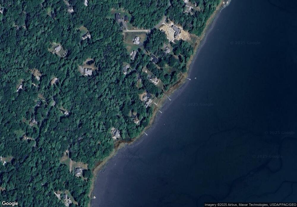
Map
Nearby Homes
- 7 Lmc Ln
- 56 S Freeport Rd
- 4 Sandy Beach Rd
- 26 Harvest Ridge Rd Unit 24
- 71 Merganser Way
- 241 Bluff Rd Unit 4
- 393 E Main St
- 30 Blueberry Cove
- 31 Sequoia Dr
- 203 Bluff Rd Unit 13
- 24 Daybreak Ln
- 15 Sequoia Dr
- 52 Blueberry Cove Rd Unit 52
- 62 Blueberry Cove Rd Unit 62
- Lot # 4 South St
- 0 Bayview St
- 149 E Main St Unit 7
- 44 Maquoit Dr
- 12 West St
- 0 S Freeport Rd