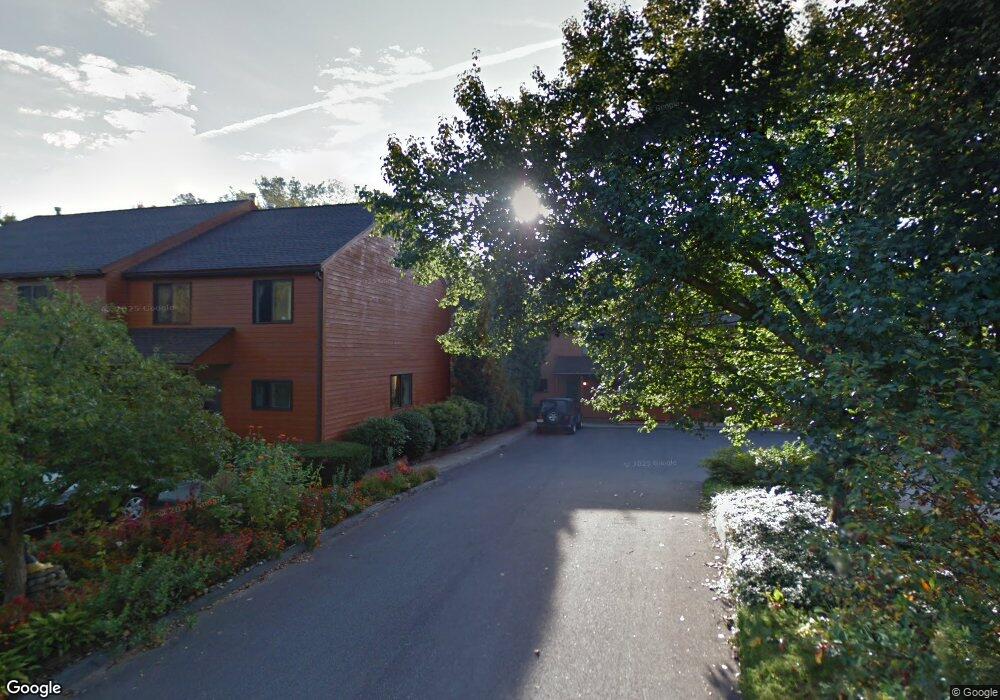
81 Spaulding St Amherst, MA 01002
Estimated Value: $284,000 - $332,000
2
Beds
1
Bath
992
Sq Ft
$313/Sq Ft
Est. Value
About This Home
This home is located at 81 Spaulding St, Amherst, MA 01002 and is currently estimated at $310,632, approximately $313 per square foot. 81 Spaulding St is a home located in Hampshire County with nearby schools including Fort River Elementary School, Amherst Regional Middle School, and Amherst Regional High School.
Ownership History
Date
Name
Owned For
Owner Type
Purchase Details
Closed on
Aug 7, 2006
Sold by
Kliman Jonathan M
Bought by
Swihart Sharon A
Current Estimated Value
Home Financials for this Owner
Home Financials are based on the most recent Mortgage that was taken out on this home.
Original Mortgage
$134,400
Interest Rate
6.7%
Mortgage Type
Purchase Money Mortgage
Purchase Details
Closed on
Jul 23, 1996
Sold by
Howard W Kemp Lt and Kemp Howard W
Bought by
Kliman Jonathan M
Home Financials for this Owner
Home Financials are based on the most recent Mortgage that was taken out on this home.
Original Mortgage
$50,000
Interest Rate
8.28%
Mortgage Type
Purchase Money Mortgage
Create a Home Valuation Report for This Property
The Home Valuation Report is an in-depth analysis detailing your home's value as well as a comparison with similar homes in the area
Home Values in the Area
Average Home Value in this Area
Purchase History
We collect this data history from publicly available records. To have your information removed, we recommend requesting removal directly through your county’s website.
| Date | Buyer | Sale Price | Title Company |
|---|---|---|---|
| Swihart Sharon A | $168,000 | -- | |
| Kliman Jonathan M | $68,000 | -- |
Source: Public Records
Mortgage History
We collect this data history from publicly available records. To have your information removed, we recommend requesting removal directly through your county’s website.
| Date | Status | Borrower | Loan Amount |
|---|---|---|---|
| Open | Kliman Jonathan M | $123,000 | |
| Closed | Swihart Sharon A | $134,400 | |
| Previous Owner | Kliman Jonathan M | $50,000 |
Source: Public Records
Tax History
| Year | Tax Paid | Tax Assessment Tax Assessment Total Assessment is a certain percentage of the fair market value that is determined by local assessors to be the total taxable value of land and additions on the property. | Land | Improvement |
|---|---|---|---|---|
| 2025 | $5,699 | $317,500 | $0 | $317,500 |
| 2024 | $5,534 | $299,000 | $0 | $299,000 |
| 2023 | $5,128 | $255,100 | $0 | $255,100 |
| 2022 | $5,003 | $235,200 | $0 | $235,200 |
| 2021 | $4,765 | $218,400 | $0 | $218,400 |
| 2020 | $3,742 | $175,500 | $0 | $175,500 |
| 2019 | $3,571 | $163,800 | $0 | $163,800 |
| 2018 | $3,463 | $163,800 | $0 | $163,800 |
| 2017 | $3,938 | $180,400 | $0 | $180,400 |
| 2016 | $3,828 | $180,400 | $0 | $180,400 |
| 2015 | $3,705 | $180,400 | $0 | $180,400 |
Source: Public Records
Map
Nearby Homes
- 60 Spaulding St
- 139 Gray St
- 0 Red Gate Ln Unit 73348273
- 222 N East St Unit 1
- 305 Strong St
- 0 Main St
- 12 Pleasant Ct
- 5 Poets Corner Rd
- 50 Mount Pleasant
- 151 Amity St Unit 2
- 0 Heatherstone Rd
- 0 Amherst Rd
- 9 Harkness Rd
- 156 Aubinwood Rd
- 185 Cherry Ln
- 61 S Valley Rd
- 691 E Pleasant St
- 24 Greenleaves Dr Unit 413
- 24 Greenleaves Dr Unit 406
- 24 Greenleaves Dr Unit 435
- 83 Spaulding St
- 79 Spaulding St
- 77 Spaulding St
- 75 Spaulding St
- 73 Spaulding St
- 73 Spaulding St Unit 73
- 69 Spaulding St
- 71 Spaulding St
- 71 Spaulding St Unit 71
- 67 Spaulding St
- 85 N Whitney St
- 85 N Whitney St Unit 2
- 85 N Whitney St Unit 1
- 66 Spaulding St
- 51 Spaulding St
- 0 Canton Ave
- 54 Spaulding St
- 15 Grove St
- 45 Spaulding St
- 23 Canton Ave
Your Personal Tour Guide
Ask me questions while you tour the home.