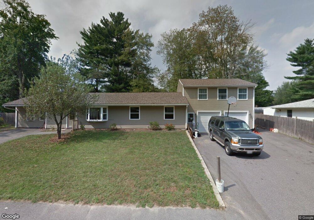
81 Stella Rd Bellingham, MA 02019
Estimated Value: $485,421 - $596,000
3
Beds
1
Bath
2,066
Sq Ft
$265/Sq Ft
Est. Value
About This Home
This home is located at 81 Stella Rd, Bellingham, MA 02019 and is currently estimated at $547,105, approximately $264 per square foot. 81 Stella Rd is a home located in Norfolk County with nearby schools including Stall Brook Elementary School, Bellingham High School, and Bethany Christian Academy.
Ownership History
Date
Name
Owned For
Owner Type
Purchase Details
Closed on
Jul 12, 2018
Sold by
Crehan Matthew J
Bought by
Matthew J Crehan T J and Matthew Crehan
Current Estimated Value
Purchase Details
Closed on
Aug 28, 1992
Sold by
Derwinski Edward J
Bought by
Crehan Matthew J and Crehan Maureen E
Home Financials for this Owner
Home Financials are based on the most recent Mortgage that was taken out on this home.
Original Mortgage
$98,500
Interest Rate
8.09%
Mortgage Type
Purchase Money Mortgage
Purchase Details
Closed on
Dec 9, 1991
Sold by
Est Wheeler Clifton S
Bought by
Fleet Mtg Corp
Create a Home Valuation Report for This Property
The Home Valuation Report is an in-depth analysis detailing your home's value as well as a comparison with similar homes in the area
Home Values in the Area
Average Home Value in this Area
Purchase History
| Date | Buyer | Sale Price | Title Company |
|---|---|---|---|
| Matthew J Crehan T J | -- | -- | |
| Crehan Matthew J | $99,500 | -- | |
| Crehan Matthew J | $99,500 | -- | |
| Fleet Mtg Corp | $88,013 | -- | |
| Fleet Mtg Corp | $88,013 | -- |
Source: Public Records
Mortgage History
| Date | Status | Borrower | Loan Amount |
|---|---|---|---|
| Previous Owner | Fleet Mtg Corp | $24,500 | |
| Previous Owner | Fleet Mtg Corp | $12,500 | |
| Previous Owner | Fleet Mtg Corp | $98,500 |
Source: Public Records
Tax History
| Year | Tax Paid | Tax Assessment Tax Assessment Total Assessment is a certain percentage of the fair market value that is determined by local assessors to be the total taxable value of land and additions on the property. | Land | Improvement |
|---|---|---|---|---|
| 2025 | $4,857 | $386,700 | $165,600 | $221,100 |
| 2024 | $4,662 | $362,500 | $151,200 | $211,300 |
| 2023 | $4,493 | $344,300 | $144,000 | $200,300 |
| 2022 | $4,383 | $311,300 | $120,000 | $191,300 |
| 2021 | $4,251 | $295,000 | $120,000 | $175,000 |
| 2020 | $4,094 | $287,900 | $120,000 | $167,900 |
| 2019 | $4,011 | $282,300 | $120,000 | $162,300 |
| 2018 | $3,836 | $266,200 | $115,400 | $150,800 |
| 2017 | $3,740 | $260,800 | $115,400 | $145,400 |
| 2016 | $3,575 | $250,200 | $113,500 | $136,700 |
| 2015 | $3,429 | $240,600 | $109,100 | $131,500 |
| 2014 | $3,441 | $234,700 | $106,600 | $128,100 |
Source: Public Records
Map
Nearby Homes
- 110 Lisa Ann Dr
- 48 Donna Rd
- 67 Jeannine Rd
- 60 Wethersfield Rd
- 0 Hixon St Unit 73477486
- 0 Hartford Ave
- 7 Palmetto Dr Unit 7
- 23 Bellwood Cir Unit 23
- 123-125 Mendon St
- 34 Bellwood Cir Unit 34
- 1 Evergreen Dr Unit 1
- 370 S Main St
- 17 Pine St
- 67 Blackstone St
- 267 R S Main St
- 267 F S Main St
- 279 S Main St
- 125 Blackstone St
- 4 Carby Dr
- 1303 Old Bridge Ln Unit 1303
Your Personal Tour Guide
Ask me questions while you tour the home.