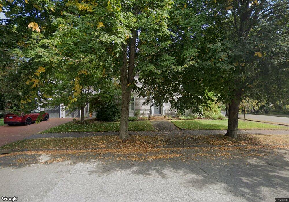
81 Vaughan St Portland, ME 04102
West End NeighborhoodEstimated Value: $1,852,000 - $2,617,000
4
Beds
4
Baths
3,854
Sq Ft
$568/Sq Ft
Est. Value
About This Home
This home is located at 81 Vaughan St, Portland, ME 04102 and is currently estimated at $2,187,150, approximately $567 per square foot. 81 Vaughan St is a home located in Cumberland County with nearby schools including Howard C. Reiche Community School, King Middle School, and Baxter Academy for Tech & Sciences.
Ownership History
Date
Name
Owned For
Owner Type
Purchase Details
Closed on
Jun 30, 2020
Sold by
Ayers Heryun K and Ayers Jonathan W
Bought by
Hankowski Erica C and Hankowski Mark A
Current Estimated Value
Home Financials for this Owner
Home Financials are based on the most recent Mortgage that was taken out on this home.
Original Mortgage
$800,000
Outstanding Balance
$710,703
Interest Rate
3.2%
Mortgage Type
Purchase Money Mortgage
Estimated Equity
$1,476,447
Create a Home Valuation Report for This Property
The Home Valuation Report is an in-depth analysis detailing your home's value as well as a comparison with similar homes in the area
Home Values in the Area
Average Home Value in this Area
Purchase History
| Date | Buyer | Sale Price | Title Company |
|---|---|---|---|
| Hankowski Erica C | -- | None Available |
Source: Public Records
Mortgage History
| Date | Status | Borrower | Loan Amount |
|---|---|---|---|
| Open | Hankowski Erica C | $800,000 |
Source: Public Records
Tax History Compared to Growth
Tax History
| Year | Tax Paid | Tax Assessment Tax Assessment Total Assessment is a certain percentage of the fair market value that is determined by local assessors to be the total taxable value of land and additions on the property. | Land | Improvement |
|---|---|---|---|---|
| 2024 | $21,650 | $1,442,400 | $431,000 | $1,011,400 |
| 2023 | $20,785 | $1,442,400 | $431,000 | $1,011,400 |
| 2022 | $19,631 | $1,442,400 | $431,000 | $1,011,400 |
| 2021 | $18,079 | $1,391,800 | $431,000 | $960,800 |
| 2020 | $17,788 | $763,100 | $325,900 | $437,200 |
| 2019 | $17,788 | $763,100 | $325,900 | $437,200 |
| 2018 | $8,261 | $763,100 | $325,900 | $437,200 |
| 2017 | $16,521 | $763,100 | $325,900 | $437,200 |
| 2016 | $16,109 | $763,100 | $325,900 | $437,200 |
| 2015 | $15,743 | $763,100 | $325,900 | $437,200 |
| 2014 | $15,262 | $763,100 | $325,900 | $437,200 |
Source: Public Records
Map
Nearby Homes
- 26 Thomas St Unit 7
- 151 Pine St Unit 4
- 129 Pine St Unit 2
- 105 Pine St
- 73 Spruce St Unit 1
- 19 West St
- 93 Pine St
- 278 Spring St
- 209 Vaughan St Unit 7
- 51 Carleton St Unit B
- 51 Carleton St Unit A
- 53 Carleton St Unit A
- 55 Carleton St Unit B
- 64 Pine St Unit 303
- 64 Pine St Unit 201
- 64 Pine St Unit 301
- 64 Pine St Unit 401
- 64 Pine St Unit 403
- 64 Pine St Unit 203
- 9 C St