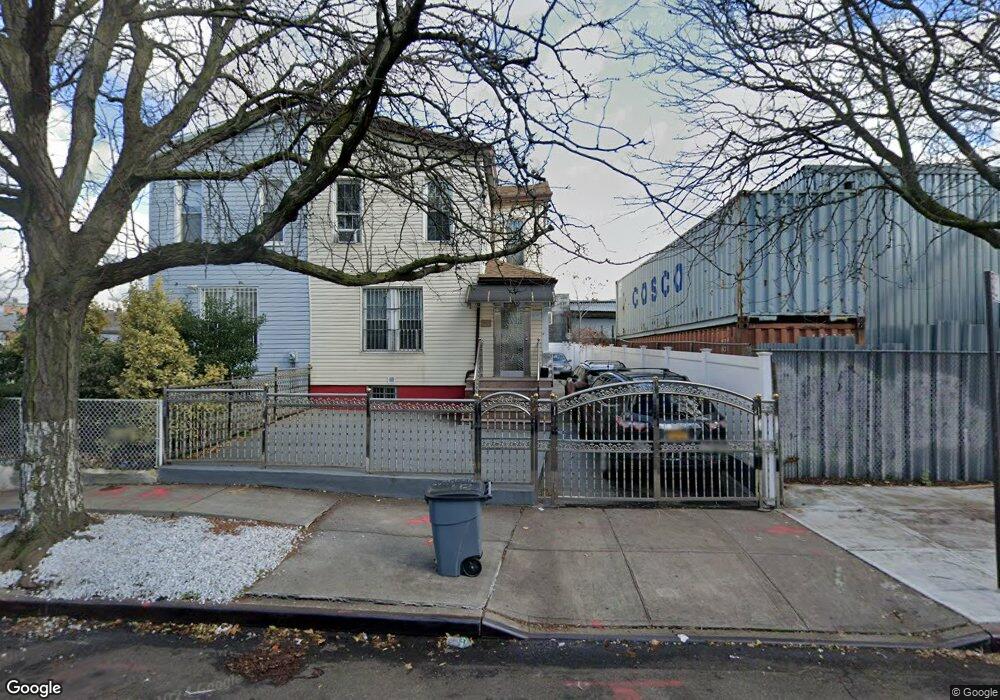
81 Williams Ave Brooklyn, NY 11207
Brownsville NeighborhoodEstimated Value: $535,000 - $747,000
--
Bed
--
Bath
1,026
Sq Ft
$609/Sq Ft
Est. Value
About This Home
This home is located at 81 Williams Ave, Brooklyn, NY 11207 and is currently estimated at $624,593, approximately $608 per square foot. 81 Williams Ave is a home located in Kings County with nearby schools including J.H.S 292 Margaret S. Douglas, Uncommon Schools Leadership Preparatory Ocean Hill Charter School, and Hyde Leadership Charter School-Brooklyn.
Ownership History
Date
Name
Owned For
Owner Type
Purchase Details
Closed on
Aug 14, 2012
Sold by
Adams Adekoya Joy and Wiggins Katie
Bought by
Adams Adekoya Joy
Current Estimated Value
Purchase Details
Closed on
May 15, 1998
Sold by
Wiggins Katie
Bought by
Adekoya Joy Adams and Wiggins Katie
Home Financials for this Owner
Home Financials are based on the most recent Mortgage that was taken out on this home.
Original Mortgage
$139,500
Interest Rate
7.9%
Create a Home Valuation Report for This Property
The Home Valuation Report is an in-depth analysis detailing your home's value as well as a comparison with similar homes in the area
Home Values in the Area
Average Home Value in this Area
Purchase History
| Date | Buyer | Sale Price | Title Company |
|---|---|---|---|
| Adams Adekoya Joy | -- | -- | |
| Adams Adekoya Joy | -- | -- | |
| Adekoya Joy Adams | -- | Fidelity National Title Ins | |
| Adekoya Joy Adams | -- | Fidelity National Title Ins |
Source: Public Records
Mortgage History
| Date | Status | Borrower | Loan Amount |
|---|---|---|---|
| Previous Owner | Adekoya Joy Adams | $139,500 |
Source: Public Records
Tax History Compared to Growth
Tax History
| Year | Tax Paid | Tax Assessment Tax Assessment Total Assessment is a certain percentage of the fair market value that is determined by local assessors to be the total taxable value of land and additions on the property. | Land | Improvement |
|---|---|---|---|---|
| 2025 | $2,770 | $32,160 | $16,440 | $15,720 |
| 2024 | $2,770 | $34,740 | $16,440 | $18,300 |
| 2023 | $2,648 | $30,720 | $16,440 | $14,280 |
| 2022 | $2,460 | $28,860 | $16,440 | $12,420 |
| 2021 | $2,450 | $31,620 | $16,440 | $15,180 |
| 2020 | $1,218 | $30,480 | $16,440 | $14,040 |
| 2019 | $2,404 | $30,480 | $16,440 | $14,040 |
| 2018 | $2,351 | $10,866 | $5,671 | $5,195 |
| 2017 | $2,093 | $10,268 | $5,873 | $4,395 |
| 2016 | $1,940 | $9,703 | $7,489 | $2,214 |
| 2015 | $949 | $9,703 | $5,899 | $3,804 |
| 2014 | $949 | $9,578 | $5,870 | $3,708 |
Source: Public Records
Map
Nearby Homes
- 45 Hinsdale St
- 22 Hinsdale St
- 1719 E New York Ave
- 34&36 Marginal St
- 2370 Atlantic Ave
- 297 Pennsylvania Ave
- 1451 Herkimer St
- 90 Sackman St
- 2358 Pacific St
- 159 Wyona St
- 317 Pennsylvania Ave
- 90 Wyona St
- 243 Wyona St
- 297 Hinsdale St
- 207 Bradford St
- 663 Sutter Ave
- 667 Sutter Ave
- 105 Belmont Ave
- 57 Wyona St
- 1782 Pitkin Ave
- 79 Williams Ave
- 83 Williams Ave
- 77 Williams Ave
- 91 Williams Ave
- 75 Williams Ave
- 73 Williams Ave
- 93 Williams Ave
- 93 Williams Ave Unit Building
- 88 Alabama Ave
- 84 Alabama Ave
- 90 Alabama Ave
- 95 Williams Ave
- 90 Alabama Ave
- 90 Alabama Ave
- 279 Liberty Ave
- 80 Alabama Ave
- 106 Alabama Ave
- 99 Williams Ave
- 67 Williams Ave
- 80 Williams Ave