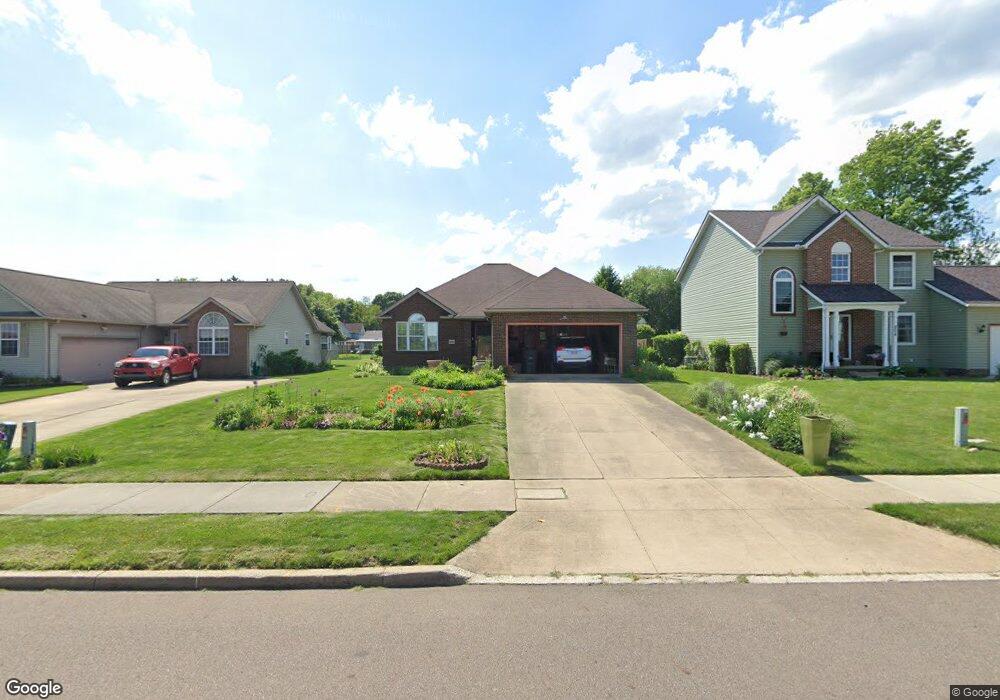
810 Coburn St Akron, OH 44311
Summit Lake NeighborhoodEstimated Value: $111,000 - $230,000
3
Beds
2
Baths
1,428
Sq Ft
$104/Sq Ft
Est. Value
About This Home
This home is located at 810 Coburn St, Akron, OH 44311 and is currently estimated at $148,272, approximately $103 per square foot. 810 Coburn St is a home located in Summit County with nearby schools including North High School and St. Bernard-St. Mary Elementary School.
Ownership History
Date
Name
Owned For
Owner Type
Purchase Details
Closed on
Jun 17, 1999
Sold by
Coburn Street Ii Ltd Partnership
Bought by
Latson Ronald L and Latson Beverly J
Current Estimated Value
Home Financials for this Owner
Home Financials are based on the most recent Mortgage that was taken out on this home.
Original Mortgage
$75,000
Outstanding Balance
$19,943
Interest Rate
7.15%
Estimated Equity
$128,329
Purchase Details
Closed on
Mar 9, 1999
Sold by
City Of Akron
Bought by
Testa Builders Inc
Create a Home Valuation Report for This Property
The Home Valuation Report is an in-depth analysis detailing your home's value as well as a comparison with similar homes in the area
Home Values in the Area
Average Home Value in this Area
Purchase History
| Date | Buyer | Sale Price | Title Company |
|---|---|---|---|
| Latson Ronald L | $109,900 | Village Title Agency | |
| Testa Builders Inc | $1,000 | Endress/Lawyers Title |
Source: Public Records
Mortgage History
| Date | Status | Borrower | Loan Amount |
|---|---|---|---|
| Open | Latson Ronald L | $75,000 |
Source: Public Records
Tax History
| Year | Tax Paid | Tax Assessment Tax Assessment Total Assessment is a certain percentage of the fair market value that is determined by local assessors to be the total taxable value of land and additions on the property. | Land | Improvement |
|---|---|---|---|---|
| 2025 | $2,204 | $38,882 | $10,220 | $28,662 |
| 2024 | $2,204 | $38,882 | $10,220 | $28,662 |
| 2023 | $2,204 | $38,882 | $10,220 | $28,662 |
| 2022 | $1,704 | $22,873 | $6,013 | $16,860 |
| 2021 | $1,705 | $22,873 | $6,013 | $16,860 |
| 2020 | $1,682 | $22,870 | $6,010 | $16,860 |
| 2019 | $2,173 | $27,740 | $5,280 | $22,460 |
| 2018 | $2,146 | $27,740 | $5,280 | $22,460 |
| 2017 | $2,215 | $27,740 | $5,280 | $22,460 |
| 2016 | $2,216 | $28,270 | $5,280 | $22,990 |
| 2015 | $2,215 | $28,270 | $5,280 | $22,990 |
| 2014 | $2,255 | $28,270 | $5,280 | $22,990 |
| 2013 | $2,247 | $28,770 | $5,280 | $23,490 |
Source: Public Records
Map
Nearby Homes
- 829 Yale St
- 837 Yale St
- 858 May St
- 849 Amherst St
- 163 Russell Ave
- 103 W Crosier St
- 839 Kenyon St
- 963 Morningstar Dr
- 258 Oberlin Ct
- 1060 Yale St
- 63 W Long St
- 131 W Miller Ave
- 261 E Thornton St
- 796 Sherman St
- 281 E Thornton St
- 121 Lake St
- 678 Sumner St Unit 682
- 975 Raymond St
- 891 Grant St
- 653 Sumner St
Your Personal Tour Guide
Ask me questions while you tour the home.