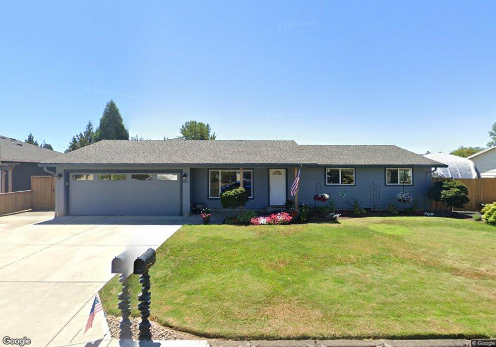
810 E 7th St Molalla, OR 97038
Estimated Value: $505,863 - $665,000
3
Beds
2
Baths
2,029
Sq Ft
$270/Sq Ft
Est. Value
About This Home
This home is located at 810 E 7th St, Molalla, OR 97038 and is currently estimated at $547,966, approximately $270 per square foot. 810 E 7th St is a home located in Clackamas County with nearby schools including Molalla River Academy, Country Christian School, and Oregon Outreach - Molalla Pride.
Ownership History
Date
Name
Owned For
Owner Type
Purchase Details
Closed on
Jun 22, 1996
Sold by
Murphy Gayle and Olsen Corrine E
Bought by
Jones Michael E and Jones Patricia A
Current Estimated Value
Home Financials for this Owner
Home Financials are based on the most recent Mortgage that was taken out on this home.
Original Mortgage
$110,430
Outstanding Balance
$6,344
Interest Rate
8.09%
Mortgage Type
FHA
Estimated Equity
$541,622
Purchase Details
Closed on
Jan 6, 1995
Sold by
Work Experience Inc
Bought by
Ogburn Beulah
Create a Home Valuation Report for This Property
The Home Valuation Report is an in-depth analysis detailing your home's value as well as a comparison with similar homes in the area
Purchase History
| Date | Buyer | Sale Price | Title Company |
|---|---|---|---|
| Jones Michael E | $119,900 | First American Title Ins Co | |
| Ogburn Beulah | -- | -- |
Source: Public Records
Mortgage History
| Date | Status | Borrower | Loan Amount |
|---|---|---|---|
| Open | Jones Michael E | $110,430 |
Source: Public Records
Tax History
| Year | Tax Paid | Tax Assessment Tax Assessment Total Assessment is a certain percentage of the fair market value that is determined by local assessors to be the total taxable value of land and additions on the property. | Land | Improvement |
|---|---|---|---|---|
| 2025 | $5,793 | $302,400 | -- | -- |
| 2024 | $5,599 | $293,593 | -- | -- |
| 2023 | $5,599 | $285,042 | $0 | $0 |
| 2022 | $4,617 | $276,740 | $0 | $0 |
| 2021 | $4,428 | $268,680 | $0 | $0 |
| 2020 | $4,304 | $260,855 | $0 | $0 |
| 2019 | $4,179 | $253,258 | $0 | $0 |
| 2018 | $4,269 | $258,417 | $0 | $0 |
| 2017 | $3,637 | $222,924 | $0 | $0 |
| 2016 | $3,288 | $206,371 | $0 | $0 |
| 2015 | $2,974 | $186,544 | $0 | $0 |
| 2014 | $2,681 | $169,494 | $0 | $0 |
Source: Public Records
Map
Nearby Homes
- 821 E 7th St
- 800 Mathias Ct
- 319 Berkley Ave
- 515 May St
- 735 Garden Ct
- 128 Finneys Ave
- 208 S Swiegle Ave
- 708 E Heintz St
- 162 Fenton Ave Unit C
- 206 S Molalla Ave
- 218 Finneys Ave
- 121 W Ross St
- 13595 S Warrick Rd
- 416 Kennel Ave
- 208 W Heintz St Unit 2
- 205 W Heintz St Unit 708
- 660 Creamery Creek Ln
- 13434 S Lowe Rd
- 641 Mary Dr
- 0 W Main St Unit 765814723
Your Personal Tour Guide
Ask me questions while you tour the home.