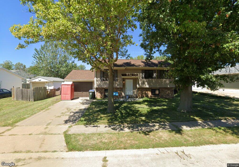
810 Franklin Ave Davenport, IA 52806
North Side NeighborhoodEstimated Value: $172,000 - $211,000
4
Beds
2
Baths
930
Sq Ft
$201/Sq Ft
Est. Value
About This Home
This home is located at 810 Franklin Ave, Davenport, IA 52806 and is currently estimated at $187,361, approximately $201 per square foot. 810 Franklin Ave is a home located in Scott County with nearby schools including Fillmore Elementary School, Wood Intermediate School, and North High School.
Ownership History
Date
Name
Owned For
Owner Type
Purchase Details
Closed on
Dec 5, 2023
Sold by
Habitat / Humanity-Quad Cities
Bought by
Johnson Margaret
Current Estimated Value
Home Financials for this Owner
Home Financials are based on the most recent Mortgage that was taken out on this home.
Original Mortgage
$45,000
Interest Rate
0.3%
Mortgage Type
New Conventional
Purchase Details
Closed on
Nov 29, 2022
Sold by
City Of Davenport
Bought by
Habitat / Humanity-Quad Cities
Create a Home Valuation Report for This Property
The Home Valuation Report is an in-depth analysis detailing your home's value as well as a comparison with similar homes in the area
Home Values in the Area
Average Home Value in this Area
Purchase History
| Date | Buyer | Sale Price | Title Company |
|---|---|---|---|
| Johnson Margaret | $175,000 | None Listed On Document | |
| Habitat / Humanity-Quad Cities | -- | None Listed On Document |
Source: Public Records
Mortgage History
| Date | Status | Borrower | Loan Amount |
|---|---|---|---|
| Closed | Johnson Margaret | $45,000 | |
| Open | Johnson Margaret | $130,224 |
Source: Public Records
Tax History Compared to Growth
Tax History
| Year | Tax Paid | Tax Assessment Tax Assessment Total Assessment is a certain percentage of the fair market value that is determined by local assessors to be the total taxable value of land and additions on the property. | Land | Improvement |
|---|---|---|---|---|
| 2024 | -- | $171,360 | $23,660 | $147,700 |
| 2023 | -- | $152,430 | $0 | $0 |
| 2022 | $0 | $133,640 | $0 | $0 |
| 2021 | $0 | $128,540 | $0 | $0 |
| 2020 | $0 | $118,360 | $0 | $0 |
| 2019 | $0 | $0 | $0 | $0 |
| 2018 | $0 | $0 | $0 | $0 |
| 2017 | $0 | $0 | $0 | $0 |
| 2016 | -- | $0 | $0 | $0 |
| 2015 | -- | $0 | $0 | $0 |
| 2014 | -- | $0 | $0 | $0 |
| 2013 | -- | $0 | $0 | $0 |
| 2012 | -- | $101,890 | $0 | $0 |
Source: Public Records
Map
Nearby Homes
- Lot 56 Franklin Ave
- LOT 54 Franklin Ave
- 6317 Appomattox Rd
- Lot 26 Benjamin Ct
- 665 W 64th St
- 6112 Western Ave
- 1265 W 63rd St
- 6524 Lillie Ave
- 6205 N Ripley St
- 1301 W 62nd Ct
- 803 W 57th St
- 6127 Fair Ave
- 1415 W 59th St
- SEQ - Division W 76th St
- 6922 Madison St
- SWQ - Division W 76th St
- Division St N & W 76th St
- 825 Northbrook Dr
- Lot 65 W 66th St
- 1821 W 69th St
- 804 Franklin Ave
- 816 Franklin Ave
- Prcl X0233-16 Franklin Ave
- LOT 48 Franklin Ave
- LOT 53 Franklin Ave
- 0 Franklin Ave
- 0 Franklin Ave
- 0 Franklin Ave
- 903 W 66th St
- 839 W 66th St
- 732 Franklin Ave
- 909 W 66th St
- 825 W 66th St
- 915 W 66th St
- 718 Franklin Ave
- 840 W 66th St
- 904 W 66th St
- 817 W 66th St
- 6308 Appomattox Rd
- 6302 Appomattox Rd