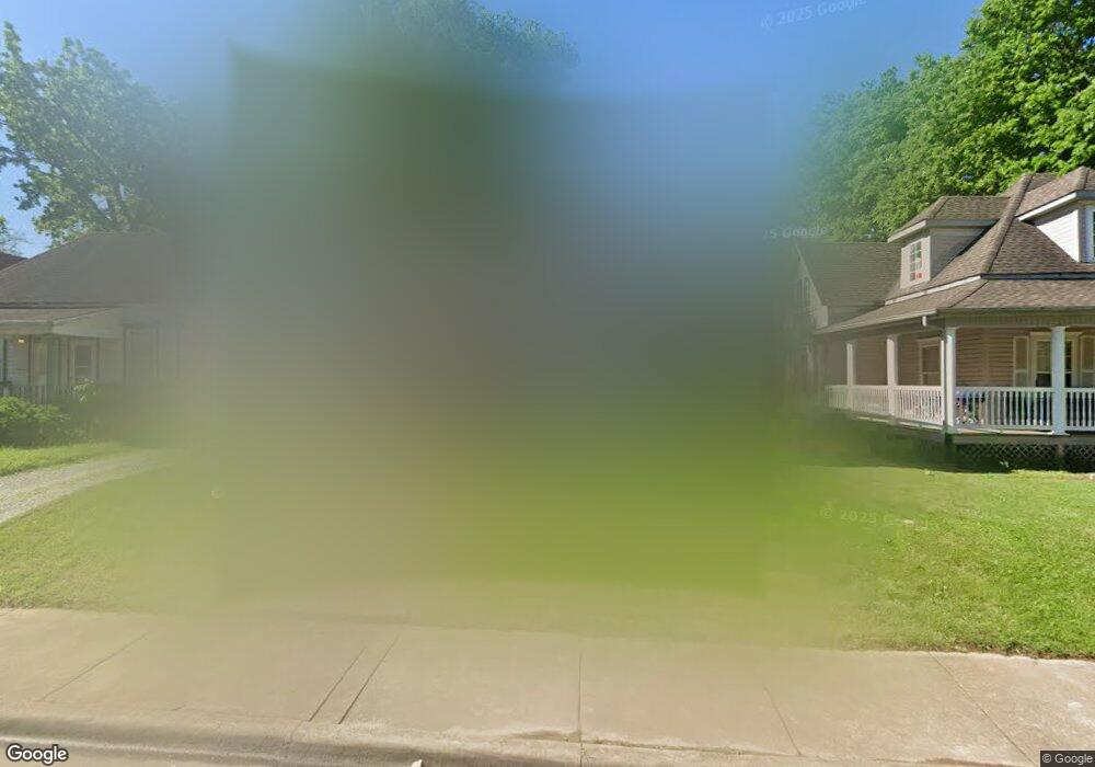
810 W Brower St Springfield, MO 65802
Grant Beach NeighborhoodEstimated Value: $139,000 - $169,000
3
Beds
1
Bath
1,425
Sq Ft
$106/Sq Ft
Est. Value
About This Home
This home is located at 810 W Brower St, Springfield, MO 65802 and is currently estimated at $151,559, approximately $106 per square foot. 810 W Brower St is a home located in Greene County with nearby schools including Weaver Elementary School, Pipkin Middle School, and Central High School.
Ownership History
Date
Name
Owned For
Owner Type
Purchase Details
Closed on
Dec 21, 2023
Sold by
Brothers Cabot and Brothers Jessica
Bought by
Echo Capital Llc
Current Estimated Value
Purchase Details
Closed on
May 23, 2019
Sold by
Little David and Little Daisy Lee
Bought by
Brothers Cabot and Brothers Jessica
Create a Home Valuation Report for This Property
The Home Valuation Report is an in-depth analysis detailing your home's value as well as a comparison with similar homes in the area
Home Values in the Area
Average Home Value in this Area
Purchase History
| Date | Buyer | Sale Price | Title Company |
|---|---|---|---|
| Echo Capital Llc | -- | None Listed On Document | |
| Brothers Cabot | -- | None Available |
Source: Public Records
Tax History Compared to Growth
Tax History
| Year | Tax Paid | Tax Assessment Tax Assessment Total Assessment is a certain percentage of the fair market value that is determined by local assessors to be the total taxable value of land and additions on the property. | Land | Improvement |
|---|---|---|---|---|
| 2025 | $852 | $17,110 | $3,330 | $13,780 |
| 2024 | $739 | $13,770 | $1,670 | $12,100 |
| 2023 | $735 | $13,770 | $1,670 | $12,100 |
| 2022 | $466 | $8,530 | $1,670 | $6,860 |
| 2021 | $466 | $8,530 | $1,670 | $6,860 |
| 2020 | $480 | $8,400 | $1,670 | $6,730 |
| 2019 | $466 | $8,400 | $1,670 | $6,730 |
| 2018 | $402 | $7,240 | $1,670 | $5,570 |
| 2017 | $398 | $7,310 | $1,670 | $5,640 |
| 2016 | $401 | $7,310 | $1,670 | $5,640 |
| 2015 | $397 | $7,310 | $1,670 | $5,640 |
| 2014 | $399 | $7,290 | $1,670 | $5,620 |
Source: Public Records
Map
Nearby Homes
- 758 N Grant Ave
- 913 N Concord Ave
- 811 W Nichols St
- 642 W Nichols St
- 1012 W Nichols St
- 632 W Nichols St
- 1015 N Concord Ave
- 911 W Scott St
- 1035 N Broadway Ave
- 944 N Main Ave
- 832 W Calhoun St
- 1230 N Grant Ave
- 1312 W Tampa St
- 1318 N Douglas Ave
- 1224 W Webster St
- 1126 W Calhoun St
- 222 N 8th Ave W
- 509 W Olive St Unit 206
- 1020 W College St
- 543 W Lynn St
- 806 W Brower St
- 816 W Brower St
- 802 W Brower St
- 820 W Brower St
- 811 W Poplar St
- 730 W Brower St
- 826 W Brower St
- 809 W Poplar St
- 817 W Poplar St
- 811 W Brower St
- 807 W Brower St
- 817 W Brower St
- 801 W Poplar St
- 823 W Poplar St
- 801 W Brower St
- 821 W Brower St
- 726 W Brower St
- 731 W Poplar St
- 827 W Poplar St
- 733 W Brower St