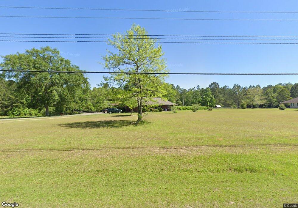
8101 Jim Ramsay Rd Vancleave, MS 39565
Estimated Value: $277,323 - $523,000
--
Bed
2
Baths
2,296
Sq Ft
$156/Sq Ft
Est. Value
About This Home
This home is located at 8101 Jim Ramsay Rd, Vancleave, MS 39565 and is currently estimated at $357,331, approximately $155 per square foot. 8101 Jim Ramsay Rd is a home located in Jackson County with nearby schools including Vancleave Lower Elementary School, Vancleave Upper Elementary School, and Vancleave Middle School.
Ownership History
Date
Name
Owned For
Owner Type
Purchase Details
Closed on
May 19, 2023
Sold by
Mallette Ronald B
Bought by
Morton Kenneth G and Morton Terry L
Current Estimated Value
Home Financials for this Owner
Home Financials are based on the most recent Mortgage that was taken out on this home.
Original Mortgage
$28,000
Outstanding Balance
$25,060
Interest Rate
5.75%
Estimated Equity
$332,271
Purchase Details
Closed on
Feb 25, 2015
Sold by
Mallette Joseph Mark Anthony
Bought by
Mallette Brenda C and Mallette Ronald B
Purchase Details
Closed on
Dec 9, 2014
Sold by
Ronald B Ronald B and Mallette Brenda C
Bought by
Mallette Ronald Mark and Malllette Ronald Mark
Purchase Details
Closed on
Dec 28, 2007
Sold by
Mallette Brenda C
Bought by
Mallette Ronald Mark
Create a Home Valuation Report for This Property
The Home Valuation Report is an in-depth analysis detailing your home's value as well as a comparison with similar homes in the area
Home Values in the Area
Average Home Value in this Area
Purchase History
| Date | Buyer | Sale Price | Title Company |
|---|---|---|---|
| Morton Kenneth G | -- | None Listed On Document | |
| Mallette Brenda C | -- | None Available | |
| Mallette Ronald Mark | -- | -- | |
| Mallette Ronald Mark | -- | -- |
Source: Public Records
Mortgage History
| Date | Status | Borrower | Loan Amount |
|---|---|---|---|
| Open | Morton Kenneth G | $28,000 |
Source: Public Records
Tax History Compared to Growth
Tax History
| Year | Tax Paid | Tax Assessment Tax Assessment Total Assessment is a certain percentage of the fair market value that is determined by local assessors to be the total taxable value of land and additions on the property. | Land | Improvement |
|---|---|---|---|---|
| 2024 | $1,563 | $14,273 | $1,228 | $13,045 |
| 2023 | $1,563 | $14,274 | $1,229 | $13,045 |
| 2022 | $1,515 | $14,274 | $1,229 | $13,045 |
| 2021 | $1,522 | $14,343 | $1,229 | $13,114 |
| 2020 | $2,401 | $19,875 | $1,437 | $18,438 |
| 2019 | $2,375 | $19,875 | $1,437 | $18,438 |
| 2018 | $1,615 | $13,258 | $966 | $12,292 |
| 2017 | $1,578 | $12,740 | $968 | $11,772 |
| 2016 | $2,272 | $19,095 | $1,437 | $17,658 |
| 2015 | $1,082 | $115,520 | $9,130 | $106,390 |
| 2014 | $1,104 | $11,951 | $924 | $11,027 |
| 2013 | $1,056 | $11,942 | $916 | $11,026 |
Source: Public Records
Map
Nearby Homes
- 13109 Little Bluff Dr
- Tbd Seaman Rd
- 13700 Southern Pine Drive Central
- 6305 Morningside Dr
- 10115 Silverwood Dr
- 0 Hillsboro Rd
- 0 Fairley Rd
- 14832 Hillside Dr
- 0 Morningside Dr Unit 4120736
- 5701 Juniper Dr
- 8236 Stonehaven Dr
- 00 Humphrey Rd
- 6404 Humphrey Rd
- 6001 Wooded Acres Rd
- 5432 Dogwood Dr
- 0 Ms 57 Unit 4122608
- 0 Ms 57 Unit 4117591
- 0 Ms-57 Unit 4107638
- 0 Ms-57 Unit 4097649
- 16916 Long Leaf Dr
- 7924 Jim Ramsay Rd
- 8100 Jim Ramsay Rd
- 13900 Wildflower Ln
- 8117 Jim Ramsay Rd
- 0 Winchester Rd Rd Unit 3200185
- 0 Winchester Rd Unit 3285918
- 7912 Jim Ramsay Rd
- 7913 Jim Ramsay Rd
- 13801 Wildflower Ln
- 13801 Winchester Rd
- 8201 Jim Ramsay Rd
- 7837 Jim Ramsay Rd
- 7819 Jim Ramsay Rd
- 0 Jim Ramsay Rd Unit 4100602
- 0 Jim Ramsay Rd Unit 3198316
- 0 Jim Ramsay Rd Unit 3181225
- 0 Jim Ramsay Rd Unit 4071250
- 0 Jim Ramsay Rd Unit 4069395
- 0 Jim Ramsay Rd Unit 4036984
- 0 Jim Ramsay Rd Unit 4032025