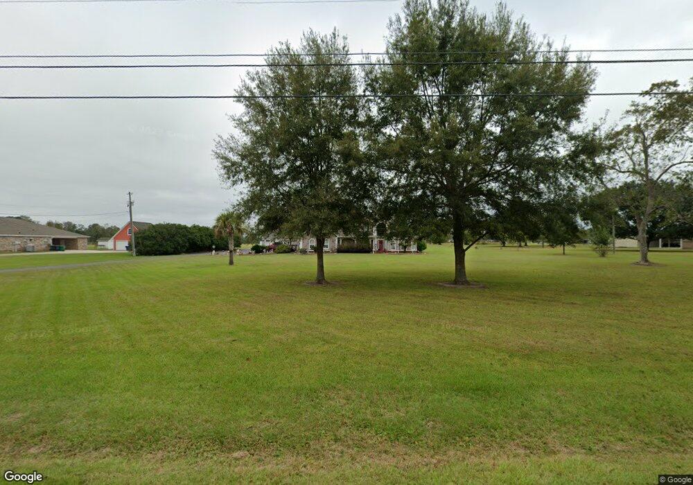
8105 Pecan Ridge Dr Moss Point, MS 39562
Estimated Value: $462,000 - $609,000
4
Beds
3
Baths
4,504
Sq Ft
$119/Sq Ft
Est. Value
About This Home
This home is located at 8105 Pecan Ridge Dr, Moss Point, MS 39562 and is currently estimated at $534,881, approximately $118 per square foot. 8105 Pecan Ridge Dr is a home located in Jackson County with nearby schools including East Central Lower Elementary School, East Central Upper Elementary School, and East Central Middle School.
Ownership History
Date
Name
Owned For
Owner Type
Purchase Details
Closed on
Sep 13, 2019
Sold by
Crisco Janice
Bought by
Smith Bradley A and Dice Sandra L
Current Estimated Value
Purchase Details
Closed on
Mar 30, 2016
Sold by
Slater Michael Eugene
Bought by
Slater Deborah Havard
Create a Home Valuation Report for This Property
The Home Valuation Report is an in-depth analysis detailing your home's value as well as a comparison with similar homes in the area
Purchase History
| Date | Buyer | Sale Price | Title Company |
|---|---|---|---|
| Smith Bradley A | -- | -- | |
| Slater Deborah Havard | -- | None Available |
Source: Public Records
Tax History
| Year | Tax Paid | Tax Assessment Tax Assessment Total Assessment is a certain percentage of the fair market value that is determined by local assessors to be the total taxable value of land and additions on the property. | Land | Improvement |
|---|---|---|---|---|
| 2025 | $3,066 | $37,561 | $3,423 | $34,138 |
| 2024 | $3,066 | $33,301 | $3,331 | $29,970 |
| 2023 | $3,097 | $33,301 | $3,331 | $29,970 |
| 2022 | $3,734 | $33,301 | $3,331 | $29,970 |
| 2021 | $3,741 | $33,372 | $3,331 | $30,041 |
| 2020 | $3,702 | $31,884 | $3,084 | $28,800 |
| 2019 | $3,510 | $31,884 | $3,084 | $28,800 |
| 2018 | $3,584 | $31,884 | $3,084 | $28,800 |
| 2017 | $3,667 | $32,026 | $3,084 | $28,942 |
| 2016 | $3,510 | $32,026 | $3,084 | $28,942 |
| 2015 | $3,256 | $297,340 | $30,840 | $266,500 |
| 2014 | $3,299 | $30,637 | $3,084 | $27,553 |
| 2013 | $3,134 | $30,238 | $3,084 | $27,154 |
Source: Public Records
Map
Nearby Homes
- 8201 Pecan Ridge Dr
- 7805 Songbird Ln
- 0 Dap Rd E
- 01 Dap Rd E
- 7201 Bentwood Dr
- 8012 Coleman Homestead Rd
- 0 Mississippi 614
- 0000 Mississippi 614
- 17500 Goff Farm Rd
- 17920 Rayford Shumock Rd
- 26.1 Acres Brinkman Rd E
- 21704 Magnolia Springs Rd
- 17952 Rayford Shumock Rd
- -0- Rayford Shumock Rd
- 21217 E Trails End Rd
- 0 Rayford Shumock Rd Unit 24406728
- 0 Rayford Shumock Rd Unit 4121875
- 0 R B Dickerson Rd
- 6200 Hurley Wade Rd
- 0 Grafe Homestead Rd Unit 4137349
- 8005 Pecan Ridge Dr
- 8100 Pecan Ridge Dr
- 8004 Pecan Ridge Dr
- 8200 Pecan Ridge Dr
- 8229 Pecan Ridge Dr
- 19801 Snell Place
- 8001 Pecan Ridge Dr
- 8000 Pecan Ridge Dr
- 19701 Snell Place
- 7905 Pecan Ridge Dr
- 19605 Snell Place
- 7904 Pecan Ridge Dr
- 19505 Snell Place
- 19809 Snell Place
- 7901 Pecan Ridge Dr
- 19704 Snell Place
- 19712 Snell Place
- 7900 Pecan Ridge Dr
- 19700 Snell Place
- 19800 Snell Place
Your Personal Tour Guide
Ask me questions while you tour the home.