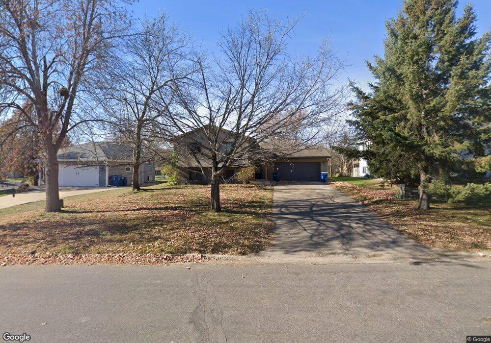
811 811 9th-Avenue-n Sauk Rapids, MN 56379
Estimated Value: $266,000 - $285,864
3
Beds
2
Baths
957
Sq Ft
$290/Sq Ft
Est. Value
About This Home
This home is located at 811 811 9th-Avenue-n, Sauk Rapids, MN 56379 and is currently estimated at $277,216, approximately $289 per square foot. 811 811 9th-Avenue-n is a home located in Benton County with nearby schools including Pleasant View Elementary School, Sauk Rapids-Rice Middle School, and Sauk Rapids-Rice Senior High School.
Ownership History
Date
Name
Owned For
Owner Type
Purchase Details
Closed on
Jan 28, 2019
Sold by
Kukiok Stephen and Golombecki Sarah
Bought by
Frank Cory
Current Estimated Value
Home Financials for this Owner
Home Financials are based on the most recent Mortgage that was taken out on this home.
Original Mortgage
$163,975
Outstanding Balance
$144,163
Interest Rate
4.5%
Mortgage Type
Stand Alone Second
Estimated Equity
$133,053
Purchase Details
Closed on
Apr 27, 2010
Sold by
Secretary Of Hud
Bought by
Golombecki Sarah and Kuklok Stephen
Home Financials for this Owner
Home Financials are based on the most recent Mortgage that was taken out on this home.
Original Mortgage
$108,989
Interest Rate
5.25%
Mortgage Type
FHA
Purchase Details
Closed on
Feb 12, 2009
Sold by
Us Bank Na
Bought by
Secretary Of Housing And Urban Developme
Create a Home Valuation Report for This Property
The Home Valuation Report is an in-depth analysis detailing your home's value as well as a comparison with similar homes in the area
Home Values in the Area
Average Home Value in this Area
Purchase History
| Date | Buyer | Sale Price | Title Company |
|---|---|---|---|
| Frank Cory | $167,000 | Edina Realty Title Inc | |
| Golombecki Sarah | -- | -- | |
| Secretary Of Housing And Urban Developme | -- | -- |
Source: Public Records
Mortgage History
| Date | Status | Borrower | Loan Amount |
|---|---|---|---|
| Open | Frank Cory | $163,975 | |
| Closed | Frank Cory | $163,975 | |
| Previous Owner | Golombecki Sarah | $108,989 |
Source: Public Records
Tax History Compared to Growth
Tax History
| Year | Tax Paid | Tax Assessment Tax Assessment Total Assessment is a certain percentage of the fair market value that is determined by local assessors to be the total taxable value of land and additions on the property. | Land | Improvement |
|---|---|---|---|---|
| 2025 | $3,146 | $236,600 | $30,000 | $206,600 |
| 2024 | $3,166 | $224,800 | $30,000 | $194,800 |
| 2023 | $2,340 | $226,200 | $30,000 | $196,200 |
| 2022 | $2,174 | $199,200 | $27,400 | $171,800 |
| 2021 | $1,972 | $172,400 | $27,400 | $145,000 |
| 2018 | $1,774 | $116,800 | $21,740 | $95,060 |
| 2017 | $1,774 | $106,900 | $21,267 | $85,633 |
| 2016 | $1,730 | $129,200 | $26,300 | $102,900 |
| 2015 | $1,746 | $95,200 | $20,607 | $74,593 |
| 2014 | -- | $90,700 | $20,319 | $70,381 |
| 2013 | -- | $91,900 | $20,396 | $71,504 |
Source: Public Records
Map
Nearby Homes
- 1101 10th Ave N
- 1107 10th Ave N
- 216 8th Ave N
- 752 12th St N
- 1201 10th Ave N
- 1105 Summit Ave N
- 117 6th Ave N
- 615 3rd Ave N
- 224 9th St N
- 314 Pleasant Ridge Dr
- 1406 Summit Ave N
- 1018 N Benton Dr
- 112 Summit Ave S
- 1809 Eastern Star Loop
- 100 9th Ave S
- 702 N Benton Dr
- 709 N Benton Dr
- 32467 County Road 1
- XXXX Golden Spike Rd NE
- 2161 Mill Pond Dr