811 Highway 305 S Olive Branch, MS 38654
Lewisburg NeighborhoodEstimated Value: $472,000 - $692,000
4
Beds
--
Bath
4,068
Sq Ft
$153/Sq Ft
Est. Value
About This Home
This home is located at 811 Highway 305 S, Olive Branch, MS 38654 and is currently estimated at $624,291, approximately $153 per square foot. 811 Highway 305 S is a home with nearby schools including Lewisburg Primary School, Lewisburg Elementary School, and Lewisburg Middle School.
Ownership History
Date
Name
Owned For
Owner Type
Purchase Details
Closed on
Nov 5, 2021
Sold by
Cathy Road Investments Llc
Bought by
Pintail Construction Llc
Current Estimated Value
Home Financials for this Owner
Home Financials are based on the most recent Mortgage that was taken out on this home.
Original Mortgage
$600,000
Interest Rate
3.01%
Mortgage Type
Purchase Money Mortgage
Purchase Details
Closed on
Sep 15, 2021
Sold by
Jimmie Sue Wilson Revocable Living Trust
Bought by
Red Dirt Llc
Home Financials for this Owner
Home Financials are based on the most recent Mortgage that was taken out on this home.
Original Mortgage
$600,000
Interest Rate
3.01%
Mortgage Type
Purchase Money Mortgage
Purchase Details
Closed on
Jan 15, 2021
Sold by
Bloodworth Ward and Drumwright James Gregory
Bought by
Cathy Road Investments Llc
Create a Home Valuation Report for This Property
The Home Valuation Report is an in-depth analysis detailing your home's value as well as a comparison with similar homes in the area
Home Values in the Area
Average Home Value in this Area
Purchase History
| Date | Buyer | Sale Price | Title Company |
|---|---|---|---|
| Pintail Construction Llc | -- | Stroud Law Firm Pc | |
| Red Dirt Llc | -- | None Available | |
| Cathy Road Investments Llc | -- | None Available |
Source: Public Records
Mortgage History
| Date | Status | Borrower | Loan Amount |
|---|---|---|---|
| Closed | Pintail Construction Llc | $600,000 |
Source: Public Records
Tax History Compared to Growth
Tax History
| Year | Tax Paid | Tax Assessment Tax Assessment Total Assessment is a certain percentage of the fair market value that is determined by local assessors to be the total taxable value of land and additions on the property. | Land | Improvement |
|---|---|---|---|---|
| 2024 | $3,270 | $35,358 | $5,308 | $30,050 |
| 2023 | $3,270 | $35,358 | $0 | $0 |
| 2022 | $3,270 | $35,358 | $5,308 | $30,050 |
| 2021 | $3,270 | $35,358 | $5,308 | $30,050 |
| 2020 | $3,028 | $32,956 | $5,308 | $27,648 |
| 2019 | $3,028 | $32,956 | $5,308 | $27,648 |
| 2017 | $607 | $5,972 | $5,972 | $0 |
Source: Public Records
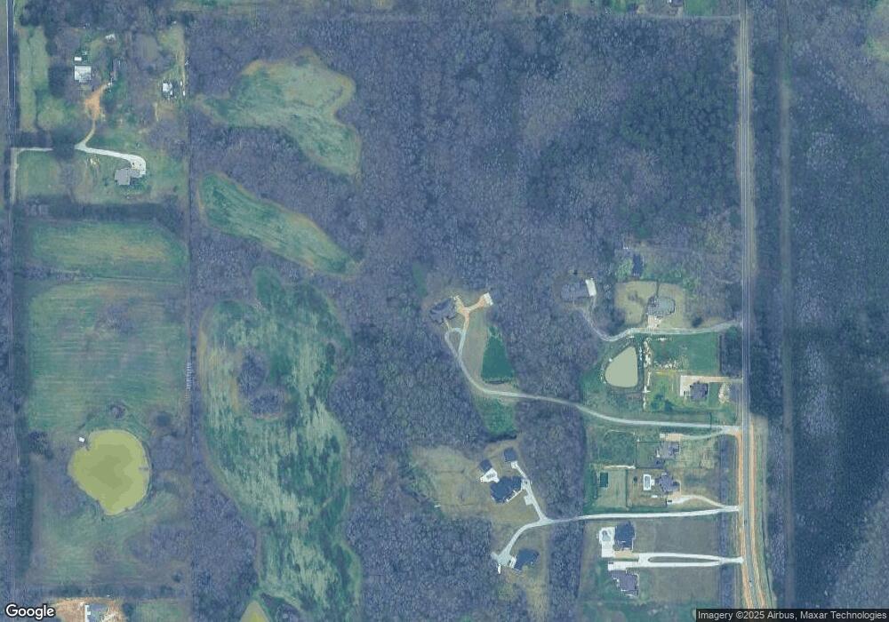
Map
Nearby Homes
- 7998 Vaiden Rd
- 660 Wells Dr
- 784 Wells Dr
- 756 Wells Dr
- 783 Wells Dr
- 7722 Willow Way
- 268 Bonnie Blue Cove
- 748 Lucas Ln
- 728 Lucas Ln
- 768 Lucas Ln
- 443 Highway 305 N
- 969 Lucas Ln
- 705 Lucas Ln
- 723 Lucas Ln
- 252 Shinpoch Ln
- 6978 Vaiden Rd
- 9108 Honey Suckle Way
- 7019 Scarlet St
- 1615 Highway 305 N
- 5322 Grays Valley Dr
- 2 Hwy 305
- 761 Highway 305
- 200 Hwy 305 S
- 753 Highway 305 S
- 869 Highway 305 S
- 771 Highway 305
- 753 Highway 305
- 737 Highway 305
- 687 Highway 305 S
- 887 Highway 305
- 737 Highway 305 S
- 913 Highway 305
- 795 Highway 305 S
- 855 Highway 305 N
- 829 Highway 305 S
- 875 Highway 305 S
- 201 Hwy 305 S
- 210 Hwy 305 S
- 500 Highway Unit 305
- 500 Highway