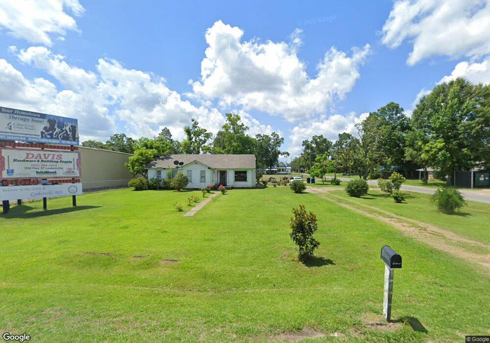
811 Main St Leakesville, MS 39451
Estimated Value: $80,821 - $212,000
3
Beds
1
Bath
2,812
Sq Ft
$59/Sq Ft
Est. Value
About This Home
This home is located at 811 Main St, Leakesville, MS 39451 and is currently estimated at $165,955, approximately $59 per square foot. 811 Main St is a home with nearby schools including Greene County High School.
Ownership History
Date
Name
Owned For
Owner Type
Purchase Details
Closed on
Sep 6, 2012
Sold by
Dearman Ruth Ann
Bought by
Smith Jerry K and Gordon Billy Z
Current Estimated Value
Purchase Details
Closed on
Apr 30, 2009
Sold by
Sullivan Garry R and Sullivan Donna H
Bought by
Nicholson James A and Nicholson Glenda M
Purchase Details
Closed on
Feb 17, 2009
Sold by
Davis Bruce
Bought by
Davis Bruce and Davis Peggy Sue
Purchase Details
Closed on
Oct 16, 2007
Sold by
Mcderment Jason
Bought by
Fallon John D
Purchase Details
Closed on
May 30, 2007
Sold by
Mcneal Leslie V
Bought by
Roberts Ii Lonnie A and Roberts Jolean B
Purchase Details
Closed on
Feb 28, 2006
Sold by
Mcleod Wilson G and Mcleod Marline S
Bought by
Brown John Gary
Create a Home Valuation Report for This Property
The Home Valuation Report is an in-depth analysis detailing your home's value as well as a comparison with similar homes in the area
Home Values in the Area
Average Home Value in this Area
Purchase History
| Date | Buyer | Sale Price | Title Company |
|---|---|---|---|
| Smith Jerry K | -- | -- | |
| Nicholson James A | -- | -- | |
| Davis Bruce | -- | -- | |
| Fallon John D | -- | -- | |
| Roberts Ii Lonnie A | -- | -- | |
| Brown John Gary | -- | -- |
Source: Public Records
Tax History Compared to Growth
Tax History
| Year | Tax Paid | Tax Assessment Tax Assessment Total Assessment is a certain percentage of the fair market value that is determined by local assessors to be the total taxable value of land and additions on the property. | Land | Improvement |
|---|---|---|---|---|
| 2024 | $1,519 | $6,788 | $0 | $0 |
| 2023 | $1,519 | $6,788 | $0 | $0 |
| 2022 | $1,519 | $6,788 | $0 | $0 |
| 2021 | $1,674 | $7,786 | $0 | $0 |
| 2020 | $1,626 | $7,358 | $0 | $0 |
| 2019 | $1,615 | $7,358 | $0 | $0 |
| 2018 | $1,635 | $7,358 | $0 | $0 |
| 2017 | $16 | $7,358 | $0 | $0 |
| 2015 | $1,503 | $7,051 | $0 | $0 |
| 2014 | $1,513 | $7,051 | $0 | $0 |
| 2013 | -- | $7,945 | $0 | $0 |
Source: Public Records
Map
Nearby Homes
- 632 Maples Ave
- 606 Maples Ave
- 22201 Mississippi 63
- 0 Old Highway 24
- 0 High School Rd Unit 4119552
- 39890 Highway 57
- 0 Burnt Pine Rd Unit 4117633
- 15015 Old Highway 24
- 0 Mellie Ln Unit 4112235
- 14361 Old Highway 24
- 56 +- Ac Highway 63 N
- 117 Dewberry Dr
- 119 Dewberry Dr
- 0 Hwy 63 N Unit 4117475
- 0 N Highway 63 Unit 24581524
- 87.6 Acres Rousanville Rd
- 4179 Saint Ellen Rd
- 00 Herndon Rd
- 7.88 Acres Man Moulds Rd
- 420 Mol Ac