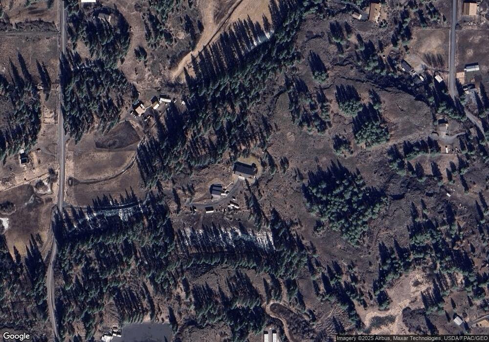
811 S Grove Rd Spokane, WA 99224
West Spokane NeighborhoodEstimated Value: $685,000 - $957,417
3
Beds
3
Baths
3,678
Sq Ft
$238/Sq Ft
Est. Value
About This Home
This home is located at 811 S Grove Rd, Spokane, WA 99224 and is currently estimated at $876,854, approximately $238 per square foot. 811 S Grove Rd is a home with nearby schools including Hutton Elementary School, Sacajawea Middle School, and Lewis & Clark High School.
Ownership History
Date
Name
Owned For
Owner Type
Purchase Details
Closed on
Sep 22, 2016
Sold by
Res Wa Ssls Llc
Bought by
Jackson Roy T
Current Estimated Value
Purchase Details
Closed on
Sep 6, 2011
Sold by
Kane Geoffrey P and Kalkina Yelena
Bought by
Res Wa Ssls Llc
Purchase Details
Closed on
Jan 13, 2006
Sold by
Blum Theresa M
Bought by
Kane Geoff P and Kalkina Yelena
Home Financials for this Owner
Home Financials are based on the most recent Mortgage that was taken out on this home.
Original Mortgage
$164,000
Interest Rate
1.62%
Mortgage Type
Fannie Mae Freddie Mac
Create a Home Valuation Report for This Property
The Home Valuation Report is an in-depth analysis detailing your home's value as well as a comparison with similar homes in the area
Home Values in the Area
Average Home Value in this Area
Purchase History
| Date | Buyer | Sale Price | Title Company |
|---|---|---|---|
| Jackson Roy T | $50,000 | First American Title Ins Co | |
| Res Wa Ssls Llc | -- | Spokane County Title Co | |
| Kane Geoff P | $205,000 | Stewart Title Of Spokane |
Source: Public Records
Mortgage History
| Date | Status | Borrower | Loan Amount |
|---|---|---|---|
| Previous Owner | Kane Geoff P | $164,000 |
Source: Public Records
Tax History Compared to Growth
Tax History
| Year | Tax Paid | Tax Assessment Tax Assessment Total Assessment is a certain percentage of the fair market value that is determined by local assessors to be the total taxable value of land and additions on the property. | Land | Improvement |
|---|---|---|---|---|
| 2025 | $8,028 | $785,160 | $199,560 | $585,600 |
| 2024 | $8,028 | $803,360 | $199,560 | $603,800 |
| 2023 | $6,603 | $780,560 | $153,560 | $627,000 |
| 2022 | $6,528 | $700,060 | $153,560 | $546,500 |
| 2021 | $6,037 | $507,000 | $69,600 | $437,400 |
| 2020 | $5,869 | $478,750 | $65,550 | $413,200 |
| 2019 | $4,744 | $448,400 | $52,000 | $396,400 |
| 2018 | $745 | $52,000 | $52,000 | $0 |
| 2017 | $727 | $52,000 | $52,000 | $0 |
| 2016 | $737 | $52,000 | $52,000 | $0 |
| 2015 | $752 | $52,000 | $52,000 | $0 |
| 2014 | -- | $52,000 | $52,000 | $0 |
| 2013 | -- | $0 | $0 | $0 |
Source: Public Records
Map
Nearby Homes
- 728 S Basalt St
- 604 S Grove Rd
- 5314 W Sunset Hwy Unit 10
- 0 Unassigned Address St Unit SAR202523258
- 5819 W Greenwood Rd
- 1 N Grove Rd
- 821 S Azalea Dr
- 1035 S Primrose Ln
- 3660 W Rosamond Ave
- 4625 W Garden Springs Rd
- 3803 W Greenwood Rd Unit 17-C
- 3611 W Rosamond Ave
- 7527 W Greenwood Rd
- 3851 W Grandview Ave
- 3603 W Rosamond Ave
- 61XX W Deno Rd
- 3741 W Grandview Lot B Ave
- 7xxx W Deno Rd
- 3504 W 2nd Ave
- 3811 W Grandview Ave
- 725 S Grove St
- 725 S Grove Rd
- 800 S Grove Rd
- 730 S Basalt St
- 5517 W 5th Ave
- 617 S Grove Rd
- 724 S Grove Rd
- 716 S Grove St
- 716 S Grove Rd
- 1117 S Grove Rd
- 5621 W 5th Ave
- 727 S Basalt St
- 5515 W 5th Ave
- 731 S Basalt St
- 920 S Grove Rd
- 920 S Basalt St
- 919 S Basalt St
- 1122 S Basalt St
- 0001 W Sunset Frontage Rd
- 0002 W Sunset Frontage Rd
