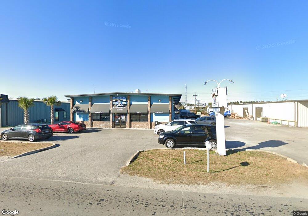
811 Seaboard St Unit S A/B Myrtle Beach, SC 29577
Downtown Myrtle Beach NeighborhoodEstimated Value: $1,272,907
--
Bed
--
Bath
2,000
Sq Ft
$636/Sq Ft
Est. Value
About This Home
This home is located at 811 Seaboard St Unit S A/B, Myrtle Beach, SC 29577 and is currently priced at $1,272,907, approximately $636 per square foot. 811 Seaboard St Unit S A/B is a home located in Horry County with nearby schools including Myrtle Beach Child Development Center, Myrtle Beach Primary School, and Myrtle Beach Elementary School.
Ownership History
Date
Name
Owned For
Owner Type
Purchase Details
Closed on
Oct 29, 1999
Sold by
Grigg Roger E
Bought by
Kite Brothers Inc
Current Estimated Value
Home Financials for this Owner
Home Financials are based on the most recent Mortgage that was taken out on this home.
Original Mortgage
$320,000
Interest Rate
7.7%
Mortgage Type
Commercial
Create a Home Valuation Report for This Property
The Home Valuation Report is an in-depth analysis detailing your home's value as well as a comparison with similar homes in the area
Home Values in the Area
Average Home Value in this Area
Purchase History
| Date | Buyer | Sale Price | Title Company |
|---|---|---|---|
| Kite Brothers Inc | $360,000 | -- |
Source: Public Records
Mortgage History
| Date | Status | Borrower | Loan Amount |
|---|---|---|---|
| Closed | Kite Brothers Inc | $320,000 |
Source: Public Records
Tax History Compared to Growth
Tax History
| Year | Tax Paid | Tax Assessment Tax Assessment Total Assessment is a certain percentage of the fair market value that is determined by local assessors to be the total taxable value of land and additions on the property. | Land | Improvement |
|---|---|---|---|---|
| 2024 | $6,100 | $25,486 | $10,720 | $14,766 |
| 2023 | $0 | $20,833 | $6,432 | $14,401 |
| 2021 | $5,628 | $41,385 | $4,288 | $37,097 |
| 2020 | $5,368 | $41,385 | $4,288 | $37,097 |
| 2019 | $5,368 | $41,385 | $4,288 | $37,097 |
| 2018 | $0 | $26,947 | $4,288 | $22,659 |
| 2017 | $4,766 | $26,947 | $4,288 | $22,659 |
| 2016 | -- | $26,947 | $4,288 | $22,659 |
| 2015 | $4,711 | $12,920 | $4,288 | $22,659 |
| 2014 | $4,578 | $19,380 | $6,432 | $12,948 |
Source: Public Records
Map
Nearby Homes
- 1900 Highway 501 Unit Lot 3 - 2.07 Acres
- 6025 Bolsena Place
- 1722 Saint Charles Ave
- 1377 E Highway 501
- 130 Whitehaven Ct
- 312 Lyons Cove Dr Unit 57
- 418 Chesterfield Ct Unit 81
- 404 Chesterfield Ct Unit 88
- 412 Chesterfield Ct
- 1112 Ocala St
- 2005 Greens Blvd Unit D-404
- 2005 Greens Blvd Unit A108
- 2005 Greens Blvd Unit A-405
- 2005 Greens Blvd Unit B-403
- 0000 Racepath St
- (1.5 Acres) 10th Ave N
- 850 Maxine Ct Unit 5B
- 2000 Greens Blvd Unit 36-A
- 2000 Greens Blvd Unit 15C
- 2000 Greens Blvd Unit 24C
- 912 Seaboard St Unit Seaboard Industrial
- 804 Seaboard St Unit Strip N. of 501 & SC
- 801 Seaboard St
- 908 Seaboard St Unit A
- 723 Seaboard St
- 1925 Mr Joe White Ave
- 1925 Mr Joe White Ave
- - Enterprise Ave
- 922 Frontage Rd E
- 915 Seaboard St
- 721 Seaboard St
- 721 Seaboard St Unit Carolina Safari Jeep
- 1619 Executive Ave
- 1400 Enterprise Ave
- 1513 Executive Ave
- 1913 Mr Joe White Ave Unit 10th Avenue North
- 7740 Highway 17
- 1616 Executive Ave
- 1609 Executive Ave Unit Former Thomas Heatin
- 1697 10th Ave N