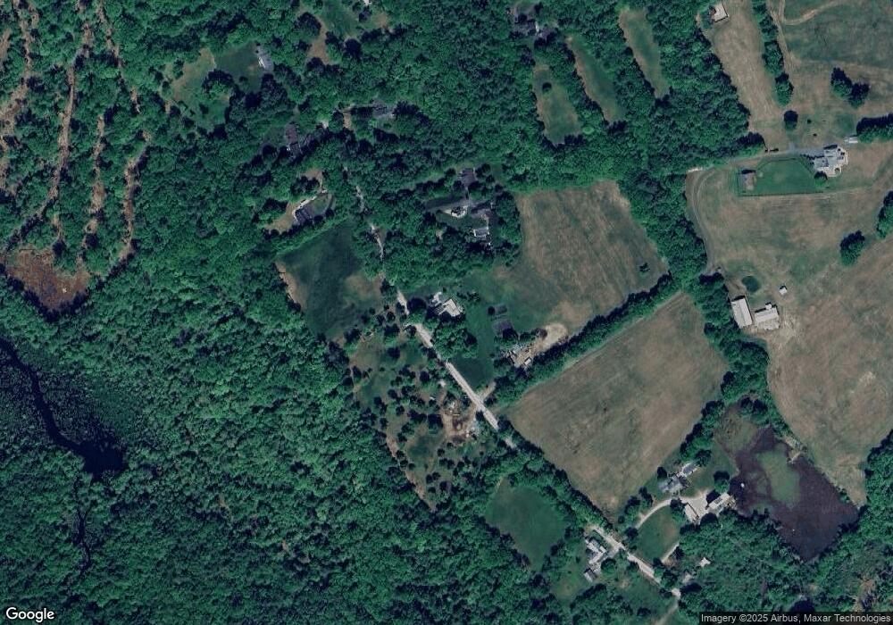
811 Upper Straw Rd Contoocook, NH 03229
Estimated Value: $492,000 - $664,000
3
Beds
1
Bath
3,108
Sq Ft
$182/Sq Ft
Est. Value
About This Home
This home is located at 811 Upper Straw Rd, Contoocook, NH 03229 and is currently estimated at $565,534, approximately $181 per square foot. 811 Upper Straw Rd is a home located in Merrimack County with nearby schools including Harold Martin School, Hopkinton Middle School, and The Beech Hill School.
Ownership History
Date
Name
Owned For
Owner Type
Purchase Details
Closed on
Jan 29, 2020
Sold by
Branham Nicole and Olkonen Todd D
Bought by
Olkonen Todd D
Current Estimated Value
Purchase Details
Closed on
Nov 2, 2009
Sold by
Carter Corney A
Bought by
Olkonen Todd D and Olkonen Nicole E
Home Financials for this Owner
Home Financials are based on the most recent Mortgage that was taken out on this home.
Original Mortgage
$198,978
Interest Rate
5.06%
Mortgage Type
Purchase Money Mortgage
Purchase Details
Closed on
Sep 21, 2009
Sold by
Carter Corney A and Olkonen Arthur D
Bought by
Carol J Olkonen Lt
Home Financials for this Owner
Home Financials are based on the most recent Mortgage that was taken out on this home.
Original Mortgage
$198,978
Interest Rate
5.06%
Mortgage Type
Purchase Money Mortgage
Purchase Details
Closed on
Oct 31, 2001
Sold by
Olkonen Hazel M
Bought by
Olkonen Arthur D
Create a Home Valuation Report for This Property
The Home Valuation Report is an in-depth analysis detailing your home's value as well as a comparison with similar homes in the area
Home Values in the Area
Average Home Value in this Area
Purchase History
| Date | Buyer | Sale Price | Title Company |
|---|---|---|---|
| Olkonen Todd D | -- | None Available | |
| Olkonen Todd D | $195,000 | -- | |
| Carol J Olkonen Lt | $150,000 | -- | |
| Carter Corney A | $150,000 | -- | |
| Olkonen Arthur D | $161,300 | -- |
Source: Public Records
Mortgage History
| Date | Status | Borrower | Loan Amount |
|---|---|---|---|
| Previous Owner | Olkonen Arthur D | $198,978 |
Source: Public Records
Tax History Compared to Growth
Tax History
| Year | Tax Paid | Tax Assessment Tax Assessment Total Assessment is a certain percentage of the fair market value that is determined by local assessors to be the total taxable value of land and additions on the property. | Land | Improvement |
|---|---|---|---|---|
| 2024 | $11,584 | $529,200 | $185,800 | $343,400 |
| 2023 | $9,406 | $268,600 | $85,500 | $183,100 |
| 2022 | $8,540 | $264,800 | $85,500 | $179,300 |
| 2020 | $7,745 | $264,800 | $85,500 | $179,300 |
| 2019 | $7,711 | $264,800 | $85,500 | $179,300 |
| 2018 | $7,709 | $221,900 | $72,500 | $149,400 |
| 2017 | $6,776 | $197,600 | $72,500 | $125,100 |
| 2016 | $6,629 | $197,600 | $72,500 | $125,100 |
| 2015 | $6,643 | $197,600 | $72,500 | $125,100 |
| 2014 | $6,434 | $197,600 | $72,500 | $125,100 |
| 2013 | $6,363 | $221,400 | $108,100 | $113,300 |
Source: Public Records
Map
Nearby Homes
- 0 Farrington Corner Rd Unit 14
- 0 George Rd Unit 30
- 256-0-17 Jewett Rd
- 7 Currier Rd
- I3-03-05 Clinton St
- 541 South Rd
- 465 Clinton St
- 89 Old Henniker Rd
- 256 Irish Hill Rd
- 27 Brushwood Dr
- 464 Irish Hill Rd
- 490 Page Rd
- 250 Grapevine Rd
- 40 N Woods Rd
- 0 Bound Tree Rd Unit 50 5060705
- 8 Longview Dr
- 148 Broad Cove Dr
- 1 Kensington Rd
- 2 Kensington Rd
- 6 Woodland Cir
- Lot 12-4 Upper Straw
- 265-12-2 Upper Straw Rd
- 775 Upper Straw Rd
- 1100 Upper Straw Rd
- 758 Upper Straw Rd
- 845 Upper Straw Rd
- 741 Upper Straw Rd
- 736 Upper Straw Rd
- 902 Upper Straw Rd
- 162 Clarke Ln
- 708 Upper Straw Rd
- 903 Upper Straw Rd
- 707 Upper Straw Rd
- 929 Upper Straw Rd
- 930 Upper Straw Rd
- 144 Clarke Ln
- 12-5 Upper Straw Rd
- 668 Upper Straw Rd
- 12-4 Upper Straw Rd
- 159 Clarke Ln
