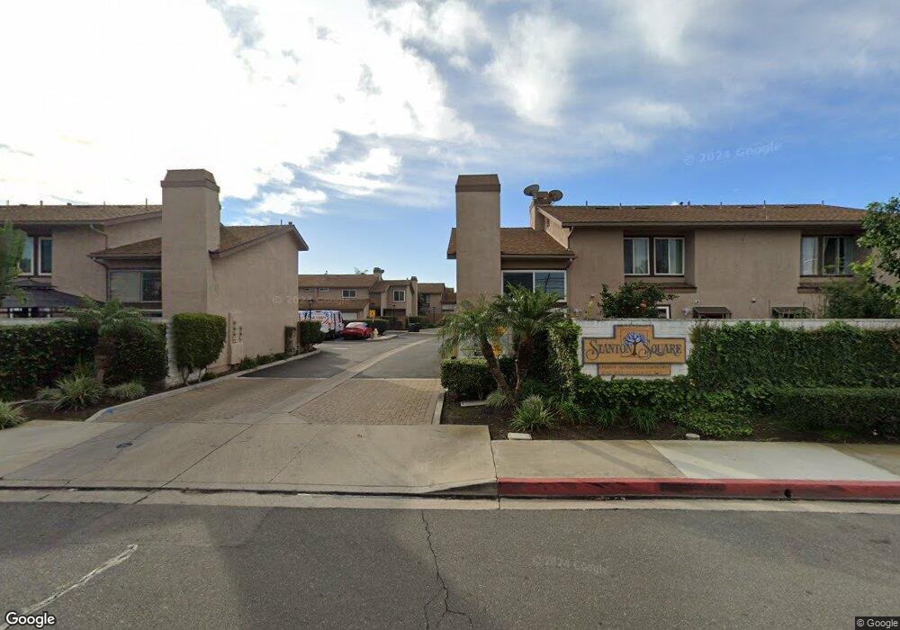
8112 Catherine Ave Unit 31 Stanton, CA 90680
Estimated Value: $720,000 - $961,000
3
Beds
2
Baths
1,587
Sq Ft
$508/Sq Ft
Est. Value
About This Home
This home is located at 8112 Catherine Ave Unit 31, Stanton, CA 90680 and is currently estimated at $806,504, approximately $508 per square foot. 8112 Catherine Ave Unit 31 is a home located in Orange County with nearby schools including Lawrence Elementary School, Alamitos Intermediate School, and Rancho Alamitos High School.
Ownership History
Date
Name
Owned For
Owner Type
Purchase Details
Closed on
Jul 23, 2003
Sold by
Look Craig M and Look Avelina M
Bought by
Beck David W
Current Estimated Value
Home Financials for this Owner
Home Financials are based on the most recent Mortgage that was taken out on this home.
Original Mortgage
$239,200
Outstanding Balance
$92,025
Interest Rate
4%
Mortgage Type
Purchase Money Mortgage
Estimated Equity
$714,479
Create a Home Valuation Report for This Property
The Home Valuation Report is an in-depth analysis detailing your home's value as well as a comparison with similar homes in the area
Home Values in the Area
Average Home Value in this Area
Purchase History
| Date | Buyer | Sale Price | Title Company |
|---|---|---|---|
| Beck David W | $299,000 | Southland Title Corporation |
Source: Public Records
Mortgage History
| Date | Status | Borrower | Loan Amount |
|---|---|---|---|
| Open | Beck David W | $239,200 |
Source: Public Records
Tax History Compared to Growth
Tax History
| Year | Tax Paid | Tax Assessment Tax Assessment Total Assessment is a certain percentage of the fair market value that is determined by local assessors to be the total taxable value of land and additions on the property. | Land | Improvement |
|---|---|---|---|---|
| 2025 | $4,979 | $425,103 | $270,723 | $154,380 |
| 2024 | $4,979 | $416,768 | $265,415 | $151,353 |
| 2023 | $4,887 | $408,597 | $260,211 | $148,386 |
| 2022 | $4,782 | $400,586 | $255,109 | $145,477 |
| 2021 | $4,734 | $392,732 | $250,107 | $142,625 |
| 2020 | $4,668 | $388,706 | $247,543 | $141,163 |
| 2019 | $4,577 | $381,085 | $242,689 | $138,396 |
| 2018 | $4,484 | $373,613 | $237,930 | $135,683 |
| 2017 | $4,422 | $366,288 | $233,265 | $133,023 |
| 2016 | $4,233 | $359,106 | $228,691 | $130,415 |
| 2015 | $4,175 | $353,712 | $225,255 | $128,457 |
| 2014 | $3,832 | $324,300 | $204,696 | $119,604 |
Source: Public Records
Map
Nearby Homes
- 43 Bigsby Dr
- 28 Bigsby Dr
- 8185 Del Rey Dr
- 12232 Fieldgate St
- 7887 Lampson Ave Unit 17
- 7887 Lampson Ave Unit 15
- 7999 Stepping Stone Cir
- 8111 Stanford Ave
- 8111 Stanford Ave Unit 92
- 8111 Stanford Ave Unit 28
- 11912 Arthur Dr
- 8361 Cerulean Dr
- 8561 Enault Ln
- 12341 Adelle St
- 12101 Dale Ave Unit 9
- 12562 Dale St Unit 47
- 11791 Nearing Dr
- 7700 Lampson Ave Unit 138
- 12551 Adelle St
- 11721 Dale St
- 8114 Catherine Ave
- 8116 Catherine Ave Unit 33
- 8108 Catherine Ave
- 8110 Catherine Ave
- 8118 Catherine Ave
- 8106 Catherine Ave Unit 28
- 8120 Catherine Ave
- 8104 Catherine Ave Unit 27
- 8104 Catherine Ave
- 8122 Catherine Ave Unit 36
- 8122 Catherine Ave
- 8102 Catherine Ave
- 8124 Catherine Ave
- 8126 Catherine Ave Unit 38
- 8128 Catherine Ave Unit 39
- 8130 Catherine Ave Unit 40
- 8130 Catherine Ave
- 8132 Catherine Ave
- 8134 Catherine Ave Unit 42
- 8134 Catherine Ave