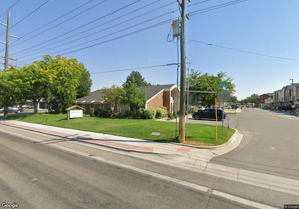
8119 W Ustick Rd Boise, ID 83704
West Boise NeighborhoodEstimated Value: $1,524,588
--
Bed
--
Bath
3,128
Sq Ft
$487/Sq Ft
Est. Value
About This Home
This home is located at 8119 W Ustick Rd, Boise, ID 83704 and is currently estimated at $1,524,588, approximately $487 per square foot. 8119 W Ustick Rd is a home located in Ada County with nearby schools including Morley Nelson Elementary School, Fairmont Junior High School, and Capital High School.
Ownership History
Date
Name
Owned For
Owner Type
Purchase Details
Closed on
Dec 23, 2022
Sold by
Jrs Properties Llc
Bought by
Bcd Boise Spv Llc
Current Estimated Value
Purchase Details
Closed on
Oct 31, 2018
Sold by
Relyea Russell E and Relyea Lucille A
Bought by
Grand View Partnership Llc
Purchase Details
Closed on
Jan 24, 2001
Sold by
Relyea Russell E and Relyea Lucille A
Bought by
Relyea Russell E and Relyea Lucille A
Create a Home Valuation Report for This Property
The Home Valuation Report is an in-depth analysis detailing your home's value as well as a comparison with similar homes in the area
Home Values in the Area
Average Home Value in this Area
Purchase History
| Date | Buyer | Sale Price | Title Company |
|---|---|---|---|
| Bcd Boise Spv Llc | -- | Fidelity National Title | |
| Grand View Partnership Llc | -- | Fidelity National Title | |
| Relyea Russell E | -- | -- | |
| Relyea Russell E | -- | -- |
Source: Public Records
Tax History Compared to Growth
Tax History
| Year | Tax Paid | Tax Assessment Tax Assessment Total Assessment is a certain percentage of the fair market value that is determined by local assessors to be the total taxable value of land and additions on the property. | Land | Improvement |
|---|---|---|---|---|
| 2025 | $11,786 | $1,428,100 | -- | -- |
| 2024 | $9,536 | $1,298,300 | -- | -- |
| 2023 | $9,536 | $998,600 | $0 | $0 |
| 2022 | $7,382 | $851,000 | $0 | $0 |
| 2021 | $7,863 | $719,100 | $0 | $0 |
| 2020 | $6,969 | $580,300 | $0 | $0 |
| 2019 | $7,732 | $569,400 | $0 | $0 |
| 2018 | $8,237 | $542,300 | $0 | $0 |
| 2017 | $8,188 | $512,100 | $0 | $0 |
| 2016 | $7,924 | $483,700 | $0 | $0 |
| 2015 | $8,070 | $469,600 | $0 | $0 |
| 2012 | -- | $434,300 | $0 | $0 |
Source: Public Records
Map
Nearby Homes
- 3084 N Network Ln
- 8007 W Scardale Ct
- 3019 N Network Ln
- 8244 W Pomona Ct
- 2870 N Camden Place
- 7701 W Ustick Rd Unit 59
- 7727 W Iron Ct
- 2934 N Manchester Place
- 8475 W Westchester Ave
- 8466 W Westchester Ave
- 2691 N Camden Ave
- 3731 N Buckingham Dr
- 2721 N Christine St
- 7557 W Iron Dr
- 3841 N Sheringham Dr
- 3573 N Rugby Dr
- 8631 W Canterbury St
- 7511 W Settlers Ave
- 8752 W Canterbury St
- 3916 N Buckingham Place
- 6819 W Ustick Rd
- TBD W Ustick Rd
- 3132 N Network Ln
- 3157 N Network Ln
- 3151 N Network Ln
- 3126 N Network Ln
- 3143 N Network Ln
- 3137 N Network Ln
- 3125 N Network Ln
- 8098 W San Fernando Ct
- 8097 W San Fernando Ct
- 3104 N Network Ln
- 8096 W San Fernando Ct
- 3083 N Network Ln
- 3090 N Network Ln
- 3119 N Network Ln
- 3118 N Network Ln
- 3112 N Network Ln
- 3113 N Network Ln
- 8093 W San Fernando Ct