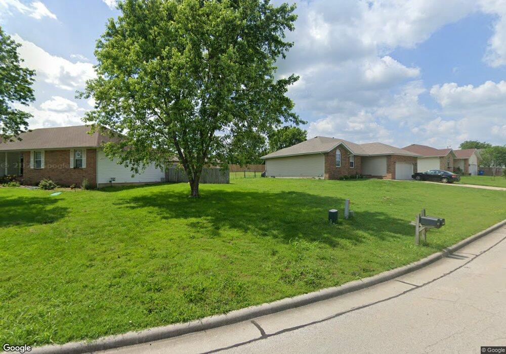
812 Daniel Ln Willard, MO 65781
Estimated Value: $227,650 - $248,000
3
Beds
2
Baths
1,428
Sq Ft
$168/Sq Ft
Est. Value
About This Home
This home is located at 812 Daniel Ln, Willard, MO 65781 and is currently estimated at $239,413, approximately $167 per square foot. 812 Daniel Ln is a home located in Greene County with nearby schools including Willard North Elementary School and Willard Intermediate School North.
Ownership History
Date
Name
Owned For
Owner Type
Purchase Details
Closed on
Oct 31, 2005
Sold by
Ferguson Kenneth J and Ferguson Kathine J
Bought by
Garcia Theodore A and Garcia Rebecca D
Current Estimated Value
Home Financials for this Owner
Home Financials are based on the most recent Mortgage that was taken out on this home.
Original Mortgage
$95,600
Outstanding Balance
$59,181
Interest Rate
8.25%
Mortgage Type
Adjustable Rate Mortgage/ARM
Estimated Equity
$180,232
Create a Home Valuation Report for This Property
The Home Valuation Report is an in-depth analysis detailing your home's value as well as a comparison with similar homes in the area
Home Values in the Area
Average Home Value in this Area
Purchase History
| Date | Buyer | Sale Price | Title Company |
|---|---|---|---|
| Garcia Theodore A | -- | None Available |
Source: Public Records
Mortgage History
| Date | Status | Borrower | Loan Amount |
|---|---|---|---|
| Open | Garcia Theodore A | $95,600 |
Source: Public Records
Tax History
| Year | Tax Paid | Tax Assessment Tax Assessment Total Assessment is a certain percentage of the fair market value that is determined by local assessors to be the total taxable value of land and additions on the property. | Land | Improvement |
|---|---|---|---|---|
| 2025 | $1,779 | $29,510 | $5,700 | $23,810 |
| 2024 | $1,677 | $27,080 | $4,750 | $22,330 |
| 2023 | $1,672 | $27,080 | $4,750 | $22,330 |
| 2022 | $1,450 | $23,880 | $4,750 | $19,130 |
| 2021 | $1,449 | $23,880 | $4,750 | $19,130 |
| 2020 | $1,442 | $23,350 | $4,750 | $18,600 |
| 2019 | $1,434 | $23,350 | $4,750 | $18,600 |
| 2018 | $1,362 | $21,850 | $4,750 | $17,100 |
| 2017 | $1,352 | $20,460 | $4,750 | $15,710 |
| 2016 | $1,263 | $20,460 | $4,750 | $15,710 |
| 2015 | $1,251 | $20,460 | $4,750 | $15,710 |
| 2014 | $1,198 | $19,360 | $4,750 | $14,610 |
Source: Public Records
Map
Nearby Homes
- 408 Pine St
- 823 Hoffman Hills Blvd
- 308 Hughes Rd
- 476 Stone Creek Rd
- 305 Hughes Rd
- 482 Stone Creek Rd
- 716 Daniel Ln
- 484 Stone Creek Rd
- 486 Stone Creek Rd
- 479 S Summit Dr
- 464 Baird Ct
- 475 Summit Dr
- 462 Baird Ct
- 466 Baird Ct
- 465 E War Horse Ln
- 461 Baird Ct
- 000 Mark St
- 779 S Bent Tree Ave
- 771 S Bent Tree Ave
- 776 S Bent Tree Ave
- 810 Daniel Ln
- 411 Pine St
- 808 Daniel Ln
- 410 Pine St
- 813 Daniel Ln
- 817 Daniel Ln
- 103 Blankenship Ct
- 815 Daniel Ln
- 101 Blankenship Ct
- 412 Pine St
- 811 Daniel Ln
- 105 Blankenship Ct
- 806 Daniel Ln
- 408 Stone Creek Rd
- 410 Stone Creek Rd
- 406 Stone Creek Rd
- 809 Daniel Ln
- 412 Stone Creek Rd
- 404 Stone Creek Rd
- 804 Daniel Ln
Your Personal Tour Guide
Ask me questions while you tour the home.