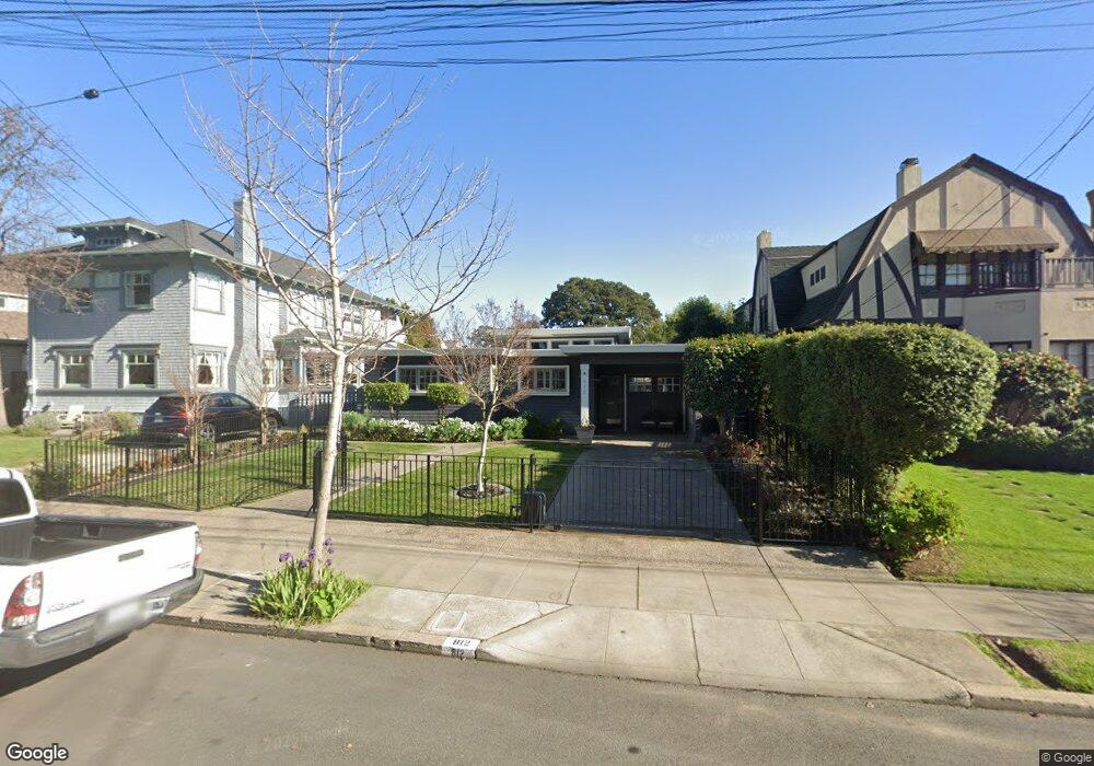
812 Paru St Alameda, CA 94501
South Shore NeighborhoodEstimated Value: $1,282,000 - $1,695,000
3
Beds
2
Baths
1,597
Sq Ft
$885/Sq Ft
Est. Value
About This Home
This home is located at 812 Paru St, Alameda, CA 94501 and is currently estimated at $1,413,609, approximately $885 per square foot. 812 Paru St is a home located in Alameda County with nearby schools including Franklin Elementary, Will C. Wood Middle School, and Encinal Junior/Senior High.
Ownership History
Date
Name
Owned For
Owner Type
Purchase Details
Closed on
Feb 18, 1997
Sold by
Siska Robert J
Bought by
Miller John M and Egan Kathleen C
Current Estimated Value
Home Financials for this Owner
Home Financials are based on the most recent Mortgage that was taken out on this home.
Original Mortgage
$267,600
Outstanding Balance
$31,046
Interest Rate
7.85%
Estimated Equity
$1,382,563
Create a Home Valuation Report for This Property
The Home Valuation Report is an in-depth analysis detailing your home's value as well as a comparison with similar homes in the area
Home Values in the Area
Average Home Value in this Area
Purchase History
| Date | Buyer | Sale Price | Title Company |
|---|---|---|---|
| Miller John M | $334,500 | North American Title Co |
Source: Public Records
Mortgage History
| Date | Status | Borrower | Loan Amount |
|---|---|---|---|
| Open | Miller John M | $267,600 | |
| Closed | Miller John M | $33,450 |
Source: Public Records
Tax History
| Year | Tax Paid | Tax Assessment Tax Assessment Total Assessment is a certain percentage of the fair market value that is determined by local assessors to be the total taxable value of land and additions on the property. | Land | Improvement |
|---|---|---|---|---|
| 2025 | $7,671 | $537,762 | $163,510 | $381,252 |
| 2024 | $7,671 | $527,082 | $160,304 | $373,778 |
| 2023 | $7,357 | $523,612 | $157,162 | $366,450 |
| 2022 | $7,173 | $506,346 | $154,080 | $359,266 |
| 2021 | $6,982 | $496,281 | $151,059 | $352,222 |
| 2020 | $6,887 | $498,123 | $149,511 | $348,612 |
| 2019 | $6,769 | $488,358 | $146,580 | $341,778 |
| 2018 | $6,589 | $478,786 | $143,707 | $335,079 |
| 2017 | $6,278 | $469,400 | $140,890 | $328,510 |
| 2016 | $6,276 | $460,198 | $138,128 | $322,070 |
| 2015 | $6,265 | $453,287 | $136,054 | $317,233 |
| 2014 | $6,498 | $444,409 | $133,389 | $311,020 |
Source: Public Records
Map
Nearby Homes
- 1003 Morton St
- 1122 Bay St
- 1822 Clinton Ave
- 610 Grand St
- 1211 Paru St
- 1203 Benton St
- 1500 Alameda Ave Unit G
- 2000 Clinton Ave
- 1401 Cottage St Unit D
- 955 Shorepoint Ct Unit 216
- 325 Kitty Hawk Rd Unit 207
- 2031 Otis Dr Unit H
- 960 Shorepoint Ct Unit 215
- 1000 Central Ave
- 933 Shoreline Dr Unit 203
- 2106 Otis Dr Unit A
- 2050 Central Ave
- 1707 Lincoln Ave
- 1606 Morton St
- 1512 Mozart St
Your Personal Tour Guide
Ask me questions while you tour the home.