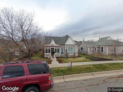
812 Sage St Evanston, WY 82930
Estimated Value: $273,000 - $464,000
3
Beds
1
Bath
1,916
Sq Ft
$176/Sq Ft
Est. Value
About This Home
This home is located at 812 Sage St, Evanston, WY 82930 and is currently estimated at $336,489, approximately $175 per square foot. 812 Sage St is a home located in Uinta County with nearby schools including Evanston High School and Evanston Child Development Center.
Ownership History
Date
Name
Owned For
Owner Type
Purchase Details
Closed on
Jan 4, 2022
Sold by
Lee Slagowski Ricky and Lyn Rebecca
Bought by
Harvey Gerald and Harvey Peggy
Current Estimated Value
Home Financials for this Owner
Home Financials are based on the most recent Mortgage that was taken out on this home.
Original Mortgage
$235,000
Outstanding Balance
$221,688
Interest Rate
3.05%
Mortgage Type
VA
Purchase Details
Closed on
Apr 21, 2021
Sold by
Slagowski Ricky Lee
Bought by
Slagowski Ricky Lee and Slagowski Rebecca Lyn
Home Financials for this Owner
Home Financials are based on the most recent Mortgage that was taken out on this home.
Original Mortgage
$125,000
Interest Rate
3.1%
Mortgage Type
New Conventional
Create a Home Valuation Report for This Property
The Home Valuation Report is an in-depth analysis detailing your home's value as well as a comparison with similar homes in the area
Home Values in the Area
Average Home Value in this Area
Purchase History
| Date | Buyer | Sale Price | Title Company |
|---|---|---|---|
| Harvey Gerald | $230,300 | First American Title | |
| Slagowski Ricky Lee | -- | First American Mortgage Sln |
Source: Public Records
Mortgage History
| Date | Status | Borrower | Loan Amount |
|---|---|---|---|
| Open | Harvey Gerald | $235,000 | |
| Previous Owner | Slagowski Ricky Lee | $125,000 | |
| Previous Owner | Slagowski Ricky Lee | $130,913 | |
| Previous Owner | Slagowski Ricky Lee | $138,600 |
Source: Public Records
Tax History Compared to Growth
Tax History
| Year | Tax Paid | Tax Assessment Tax Assessment Total Assessment is a certain percentage of the fair market value that is determined by local assessors to be the total taxable value of land and additions on the property. | Land | Improvement |
|---|---|---|---|---|
| 2024 | $1,930 | $28,395 | $3,184 | $25,211 |
| 2023 | $1,700 | $25,129 | $3,184 | $21,945 |
| 2022 | $1,438 | $21,117 | $2,087 | $19,030 |
| 2021 | $971 | $14,248 | $2,087 | $12,161 |
| 2020 | $955 | $14,016 | $2,064 | $11,952 |
| 2019 | $928 | $13,652 | $2,064 | $11,588 |
| 2018 | $916 | $13,364 | $2,171 | $11,193 |
| 2017 | $685 | $10,080 | $2,171 | $7,909 |
| 2016 | $840 | $12,357 | $1,980 | $10,377 |
| 2015 | -- | $12,370 | $1,980 | $10,390 |
| 2014 | -- | $12,368 | $0 | $0 |
Source: Public Records
Map
Nearby Homes
- 318 8th St
- 924 Sage St
- Lot 73 High Point Ranch
- 814 Lombard St
- 237 4th St
- 341 Main St
- 325 Main St
- 725 12th St
- 1348 Center St
- 26 Providence Way
- 432 15th St
- 1617 W Center St
- 203 Cheyenne Dr
- 108 Cherokee Ct
- 147 Apache Dr
- 509 County Rd
- 222 Roosevelt Ave
- 154 2nd Ave
- 723 Sioux Dr
- 0 B&j Estates Lot#10 Unit 20252274