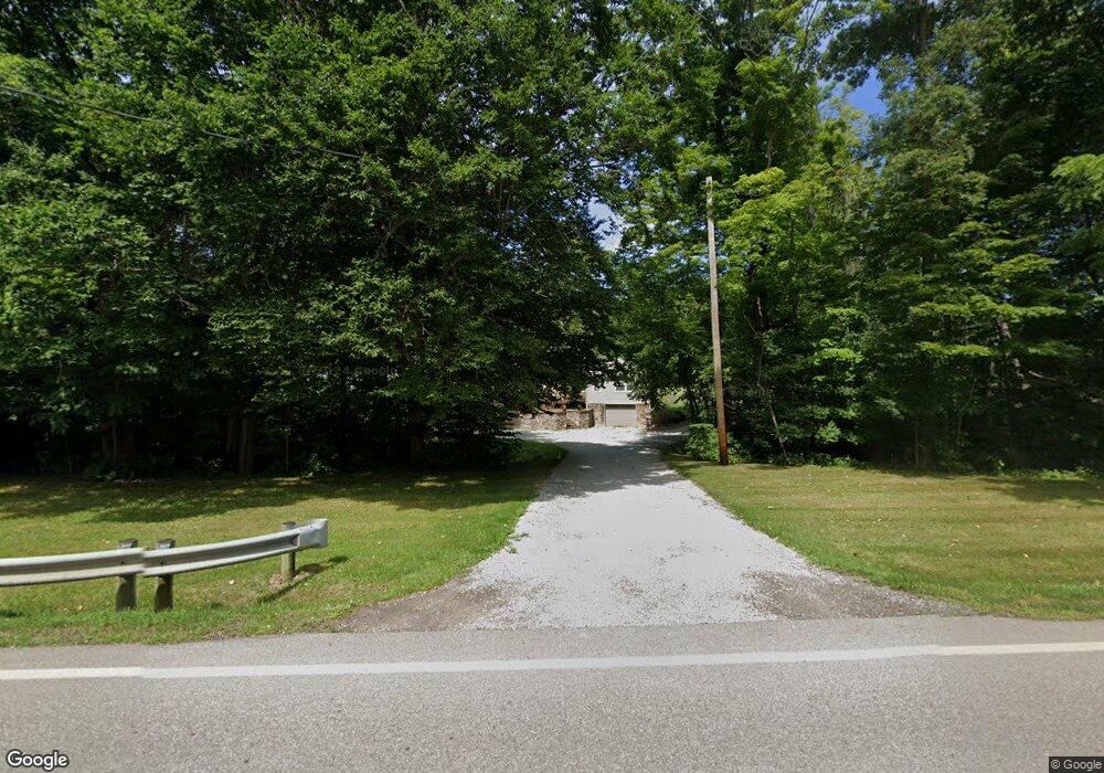
812 State Route 58 Ashland, OH 44805
Estimated Value: $308,000 - $412,000
3
Beds
2
Baths
1,646
Sq Ft
$217/Sq Ft
Est. Value
About This Home
This home is located at 812 State Route 58, Ashland, OH 44805 and is currently estimated at $356,720, approximately $216 per square foot. 812 State Route 58 is a home located in Ashland County with nearby schools including Mapleton Elementary School, Mapleton Middle School, and Mapleton High School.
Ownership History
Date
Name
Owned For
Owner Type
Purchase Details
Closed on
Jan 29, 2018
Sold by
Workman Wesley W and Workman Mary A
Bought by
Alleman Andrew M
Current Estimated Value
Home Financials for this Owner
Home Financials are based on the most recent Mortgage that was taken out on this home.
Original Mortgage
$197,888
Outstanding Balance
$167,803
Interest Rate
4.04%
Mortgage Type
New Conventional
Estimated Equity
$188,917
Purchase Details
Closed on
May 17, 2006
Sold by
Wolliver Joseph
Bought by
Workman Wesley W
Purchase Details
Closed on
Sep 27, 1996
Bought by
Wolliver Joseph
Create a Home Valuation Report for This Property
The Home Valuation Report is an in-depth analysis detailing your home's value as well as a comparison with similar homes in the area
Home Values in the Area
Average Home Value in this Area
Purchase History
| Date | Buyer | Sale Price | Title Company |
|---|---|---|---|
| Alleman Andrew M | $197,000 | Barrister Ashland Title | |
| Workman Wesley W | $210,000 | -- | |
| Wolliver Joseph | $135,000 | -- |
Source: Public Records
Mortgage History
| Date | Status | Borrower | Loan Amount |
|---|---|---|---|
| Open | Alleman Andrew M | $197,888 |
Source: Public Records
Tax History Compared to Growth
Tax History
| Year | Tax Paid | Tax Assessment Tax Assessment Total Assessment is a certain percentage of the fair market value that is determined by local assessors to be the total taxable value of land and additions on the property. | Land | Improvement |
|---|---|---|---|---|
| 2024 | $2,712 | $81,650 | $23,150 | $58,500 |
| 2023 | $2,712 | $81,650 | $23,150 | $58,500 |
| 2022 | $2,438 | $65,320 | $18,520 | $46,800 |
| 2021 | $2,443 | $65,320 | $18,520 | $46,800 |
| 2020 | $2,271 | $65,320 | $18,520 | $46,800 |
| 2019 | $1,729 | $48,350 | $13,310 | $35,040 |
| 2018 | $1,813 | $48,350 | $13,310 | $35,040 |
| 2017 | $1,657 | $48,350 | $13,310 | $35,040 |
| 2016 | $1,657 | $43,950 | $12,100 | $31,850 |
| 2015 | $1,595 | $43,950 | $12,100 | $31,850 |
| 2013 | $1,703 | $45,020 | $11,110 | $33,910 |
Source: Public Records
Map
Nearby Homes
- 829 County Road 801
- 582 County Road 801
- 439 N Main St
- 732 Ohio 89
- 902 Ohio 89
- 254 E Congress St
- 1173 Township Road 753
- 667 Township Road 1275
- 504 Ohio 89
- 775 Township Road 462
- 1568 Cinnamon Dr S
- 99 Harold Dr
- 95 Harold Dr
- 3025 Cinnamon Dr W
- 1498 Carum Place
- 32 Terrace Dr
- 3027 Cinnamon Dr W
- 16 Terrace Dr
- 1503 Carum Place
- 22 Terrace Dr
- 816 State Route 58
- 808 State Route 58
- 808 Ohio 58
- 801 State Route 58
- 844 State Route 58
- 803 Ohio 58
- 614 Township Road 852
- 727 Township Road 852
- 723 Township Road 852
- 719 Township Road 852
- 717 Township Road 852
- 713 Township Road 852
- 713 852
- 852 State Route 58
- 731A Township Road 852
- 731 Township Road 852
- 854 Township Road 713
- 707 Township Road 852
- 854 State Route 58
- 861 Township Road 713 Unit 713