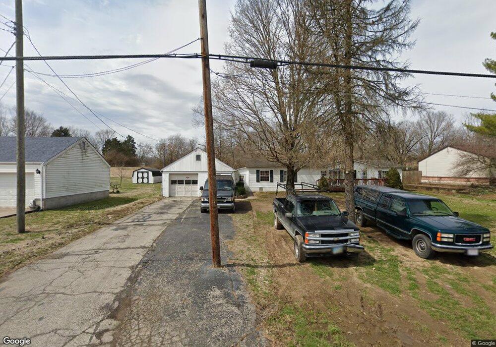
8121 Dry Fork Rd Cleves, OH 45002
--
Bed
--
Bath
--
Sq Ft
--
Built
About This Home
This home is located at 8121 Dry Fork Rd, Cleves, OH 45002. 8121 Dry Fork Rd is a home with nearby schools including William Henry Harrison High School, St. John The Baptist School, and Summit Academy of Southwest Ohio.
Create a Home Valuation Report for This Property
The Home Valuation Report is an in-depth analysis detailing your home's value as well as a comparison with similar homes in the area
Tax History
| Year | Tax Paid | Tax Assessment Tax Assessment Total Assessment is a certain percentage of the fair market value that is determined by local assessors to be the total taxable value of land and additions on the property. | Land | Improvement |
|---|---|---|---|---|
| 2025 | $1,691 | $39,498 | $39,498 | -- |
| 2024 | $4,426 | $108,088 | $39,498 | $68,590 |
| 2023 | $4,369 | $108,088 | $39,498 | $68,590 |
| 2022 | $4,028 | $87,501 | $38,812 | $48,689 |
| 2021 | $4,063 | $87,501 | $38,812 | $48,689 |
| 2020 | $3,162 | $69,070 | $29,320 | $39,750 |
| 2019 | $2,939 | $61,121 | $25,946 | $35,175 |
| 2018 | $2,954 | $61,121 | $25,946 | $35,175 |
| 2017 | $2,800 | $61,121 | $25,946 | $35,175 |
| 2016 | $2,637 | $62,356 | $25,424 | $36,932 |
| 2015 | $2,627 | $62,356 | $25,424 | $36,932 |
| 2014 | $2,631 | $62,356 | $25,424 | $36,932 |
| 2013 | $2,707 | $63,627 | $25,942 | $37,685 |
Source: Public Records
Map
Nearby Homes
- 9210 Harrison Ave
- 10701 Campbell Rd
- 125 Hopping Ct
- 10630 Campbell Rd
- 10502 West Rd
- 8881 Harrison Ave
- 10740 Stone Ridge Way
- 119 Mackie Ln
- 449 Lyness Ave
- 120 Hickory Flats Dr
- 8821 Bluejay View Dr
- 8828 Harrison Pike
- 130 Country View Dr
- 10803 Stone Ridge Way Unit 15
- 7167 Redridge Dr
- 398 Legacy Way
- 7139 Redridge Dr
- 5839 Konga Dr
- 483 Heritage Square
- 5854 Sterwerf Dr
- 8041 Dry Fork Rd
- 8021 Dry Fork Rd
- 7979 Dry Fork Rd
- 8101 Dry Fork Rd
- 7991 Dry Fork Rd
- 8141 Dry Fork Rd
- 7981 Dry Fork Rd
- 8125 Dry Fork Rd Unit 35
- 8195 Dry Fork Rd
- 8169 Dry Fork Rd
- 8227 Dry Fork Rd
- 8251 Dry Fork Rd
- 8279 Dry Fork Rd
- 8301 Dry Fork Rd
- 8329 Dry Fork Rd
- 7769 Dry Fork Rd
- 8357 Dry Fork Rd
- 7731 Dry Fork Rd
- 8389 Dry Fork Rd
- 8326 Dry Fork Rd
Your Personal Tour Guide
Ask me questions while you tour the home.