8121 Popp Rd Fort Wayne, IN 46845
Estimated Value: $354,000 - $717,000
3
Beds
3
Baths
2,351
Sq Ft
$204/Sq Ft
Est. Value
About This Home
This home is located at 8121 Popp Rd, Fort Wayne, IN 46845 and is currently estimated at $479,485, approximately $203 per square foot. 8121 Popp Rd is a home located in Allen County with nearby schools including Cedarville Elementary School, Leo Elementary School, and Leo Junior/Senior High School.
Ownership History
Date
Name
Owned For
Owner Type
Purchase Details
Closed on
Apr 20, 2004
Sold by
Farmer Kevin W and Farmer Shirley J
Bought by
Huguenard Ronald E and Huguenard Angela C
Current Estimated Value
Home Financials for this Owner
Home Financials are based on the most recent Mortgage that was taken out on this home.
Original Mortgage
$177,550
Interest Rate
3.87%
Mortgage Type
Purchase Money Mortgage
Create a Home Valuation Report for This Property
The Home Valuation Report is an in-depth analysis detailing your home's value as well as a comparison with similar homes in the area
Home Values in the Area
Average Home Value in this Area
Purchase History
| Date | Buyer | Sale Price | Title Company |
|---|---|---|---|
| Huguenard Ronald E | -- | Progressive Land Title |
Source: Public Records
Mortgage History
| Date | Status | Borrower | Loan Amount |
|---|---|---|---|
| Previous Owner | Huguenard Ronald E | $177,550 |
Source: Public Records
Tax History Compared to Growth
Tax History
| Year | Tax Paid | Tax Assessment Tax Assessment Total Assessment is a certain percentage of the fair market value that is determined by local assessors to be the total taxable value of land and additions on the property. | Land | Improvement |
|---|---|---|---|---|
| 2024 | $2,638 | $336,200 | $95,700 | $240,500 |
| 2023 | $2,638 | $316,500 | $83,500 | $233,000 |
| 2022 | $2,176 | $268,800 | $83,500 | $185,300 |
| 2021 | $1,942 | $227,700 | $83,500 | $144,200 |
| 2020 | $1,954 | $224,600 | $83,500 | $141,100 |
| 2019 | $1,724 | $220,700 | $83,500 | $137,200 |
| 2018 | $1,558 | $200,600 | $60,000 | $140,600 |
| 2017 | $1,632 | $196,100 | $60,000 | $136,100 |
| 2016 | $1,610 | $193,600 | $60,000 | $133,600 |
| 2014 | $1,564 | $190,300 | $60,000 | $130,300 |
| 2013 | $1,600 | $189,300 | $61,200 | $128,100 |
Source: Public Records
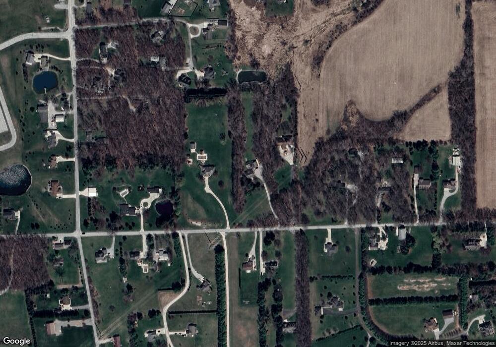
Map
Nearby Homes
- 11622 Hardisty Rd
- 000 Popp Rd
- 11031 Eagle River Run
- 10211 Islepine Dr
- 12707 Elsworth St
- 12805 Main St
- 9345 Notestine Rd
- 9829 Secluded Place
- 6627 Oxbow Ln
- 12985 Passerine Blvd
- 13108 Passerine Blvd
- 13222 Malfini Trail
- 6070 Arvada Way
- 6030 Arvada Way
- 9977 Gala Cove Unit 31
- 10038 Gala Cove Unit 17
- 9942 Gala Cove
- 9965 Gala Cove
- 13335 Passerine Blvd
- 9488 Fuji Cove