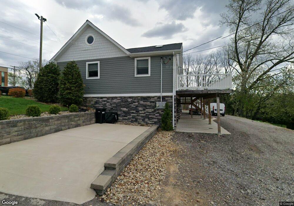
8124 Locust Rd Pittsburgh, PA 15237
McCandless Township NeighborhoodEstimated Value: $268,000 - $297,000
2
Beds
2
Baths
984
Sq Ft
$290/Sq Ft
Est. Value
About This Home
This home is located at 8124 Locust Rd, Pittsburgh, PA 15237 and is currently estimated at $285,170, approximately $289 per square foot. 8124 Locust Rd is a home located in Allegheny County with nearby schools including McKnight Elementary School, Carson Middle School, and North Allegheny High School.
Ownership History
Date
Name
Owned For
Owner Type
Purchase Details
Closed on
Nov 26, 2014
Sold by
Armstrong Margaret J
Bought by
Lockamp Holdings Llc
Current Estimated Value
Purchase Details
Closed on
Nov 3, 2004
Sold by
Presley Stephen
Bought by
Armstrong Keith
Home Financials for this Owner
Home Financials are based on the most recent Mortgage that was taken out on this home.
Original Mortgage
$68,000
Interest Rate
5.71%
Mortgage Type
New Conventional
Purchase Details
Closed on
Jan 5, 1998
Sold by
Presley Stephen D and Presley Marilyn C
Bought by
Presley Stephen D and Presley Marilyn C
Purchase Details
Closed on
Dec 15, 1995
Sold by
Fairtrace Salome M
Bought by
Presley Marilyn C
Create a Home Valuation Report for This Property
The Home Valuation Report is an in-depth analysis detailing your home's value as well as a comparison with similar homes in the area
Home Values in the Area
Average Home Value in this Area
Purchase History
| Date | Buyer | Sale Price | Title Company |
|---|---|---|---|
| Lockamp Holdings Llc | $95,000 | -- | |
| Armstrong Keith | $72,000 | -- | |
| Presley Stephen D | -- | -- | |
| Presley Marilyn C | -- | -- |
Source: Public Records
Mortgage History
| Date | Status | Borrower | Loan Amount |
|---|---|---|---|
| Previous Owner | Armstrong Keith | $68,000 |
Source: Public Records
Tax History Compared to Growth
Tax History
| Year | Tax Paid | Tax Assessment Tax Assessment Total Assessment is a certain percentage of the fair market value that is determined by local assessors to be the total taxable value of land and additions on the property. | Land | Improvement |
|---|---|---|---|---|
| 2025 | $4,100 | $159,500 | $45,200 | $114,300 |
| 2024 | $4,100 | $159,500 | $45,200 | $114,300 |
| 2023 | $4,100 | $159,500 | $45,200 | $114,300 |
| 2022 | $4,005 | $159,500 | $45,200 | $114,300 |
| 2021 | $1,956 | $77,100 | $45,200 | $31,900 |
| 2020 | $1,936 | $77,100 | $45,200 | $31,900 |
| 2019 | $1,883 | $77,100 | $45,200 | $31,900 |
| 2018 | $365 | $77,100 | $45,200 | $31,900 |
| 2017 | $1,848 | $77,100 | $45,200 | $31,900 |
| 2016 | $365 | $77,100 | $45,200 | $31,900 |
| 2015 | $365 | $77,100 | $45,200 | $31,900 |
| 2014 | $1,806 | $59,100 | $45,200 | $13,900 |
Source: Public Records
Map
Nearby Homes
- 218 Lincoln Ave
- 333 Rolshouse Rd
- 130 Grant Ave
- 518 Lincoln Ave
- 403 Sunderland Dr
- 7914 Hemlock St
- 4 Swan View Dr
- 8439 Edwood Rd
- 0 Main Blvd
- 8521 Roosevelt Blvd
- 170 Mayer Dr
- 73 Grace Dr
- 8229 E Van Buren Dr
- 5900 Babcock Blvd Unit 56
- 5900 Babcock Blvd Unit 35
- 5900 Babcock Blvd Unit 42
- 5900 Babcock Blvd Unit 70
- 7 Chapel Dr
- 103 Buckhill Rd
- 46 Chapel Dr