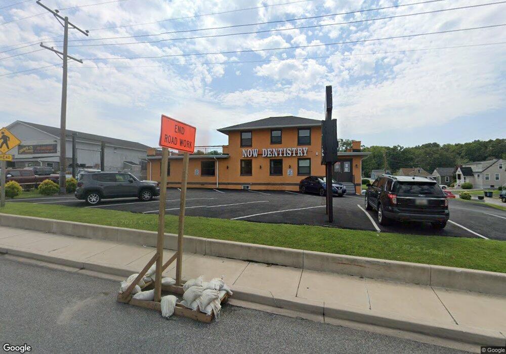
8125 Pulaski Hwy Baltimore, MD 21237
Estimated Value: $479,118 - $481,000
--
Bed
1
Bath
4,540
Sq Ft
$106/Sq Ft
Est. Value
About This Home
This home is located at 8125 Pulaski Hwy, Baltimore, MD 21237 and is currently estimated at $480,059, approximately $105 per square foot. 8125 Pulaski Hwy is a home located in Baltimore County with nearby schools including Red House Run Elementary School, Golden Ring Middle School, and Overlea High School.
Ownership History
Date
Name
Owned For
Owner Type
Purchase Details
Closed on
May 24, 2016
Sold by
Kre Llc
Bought by
Elnadi Mohamed
Current Estimated Value
Purchase Details
Closed on
Jul 29, 2005
Sold by
Correlli Joseph Thomas
Bought by
Kre Llc
Purchase Details
Closed on
Nov 7, 1997
Sold by
Correlli Joseph Thomas
Bought by
Correlli Joseph Thomas and Correlli Dominic S
Purchase Details
Closed on
Mar 20, 1987
Sold by
Christian Fellow Ship Center Inc
Bought by
Correlli Joseph Thomas
Create a Home Valuation Report for This Property
The Home Valuation Report is an in-depth analysis detailing your home's value as well as a comparison with similar homes in the area
Home Values in the Area
Average Home Value in this Area
Purchase History
| Date | Buyer | Sale Price | Title Company |
|---|---|---|---|
| Elnadi Mohamed | $275,000 | Home Title Company Of Md Inc | |
| Kre Llc | $325,000 | -- | |
| Correlli Joseph Thomas | -- | -- | |
| Correlli Joseph Thomas | $191,000 | -- |
Source: Public Records
Tax History Compared to Growth
Tax History
| Year | Tax Paid | Tax Assessment Tax Assessment Total Assessment is a certain percentage of the fair market value that is determined by local assessors to be the total taxable value of land and additions on the property. | Land | Improvement |
|---|---|---|---|---|
| 2025 | $4,207 | $290,033 | -- | -- |
| 2024 | $4,207 | $284,967 | $0 | $0 |
| 2023 | $2,006 | $279,900 | $237,100 | $42,800 |
| 2022 | $4,024 | $278,333 | $0 | $0 |
| 2021 | $3,882 | $276,767 | $0 | $0 |
| 2020 | $3,882 | $275,200 | $237,100 | $38,100 |
| 2019 | $3,827 | $275,200 | $237,100 | $38,100 |
| 2018 | $3,704 | $275,200 | $237,100 | $38,100 |
| 2017 | $4,612 | $355,800 | $0 | $0 |
| 2016 | $6,239 | $351,400 | $0 | $0 |
| 2015 | $6,239 | $347,033 | $0 | $0 |
| 2014 | $6,239 | $342,600 | $0 | $0 |
Source: Public Records
Map
Nearby Homes
- 8029 Duvall Ave
- 8100 Old Philadelphia Rd
- 8020 Old Philadelphia Rd
- 1236 Primrose Ave
- 1263 Neighbors Ave
- Lot #133/Lot #134 Sumter Ave
- 0 Sumter Ave
- 1015 Sumter Ave
- 1202 Rosegate Ct
- 7932 Philadelphia Rd
- 8003 Woodhaven Rd
- 8102 Sumter Ave
- 1239 Hilldale Rd
- 8105 Woodhaven Rd
- 8006 Woodhaven Ct
- 1229 Berkwood Rd
- 1221 Berkwood Rd
- 8300 Berkwood Ct
- 1206 Gettig Rd
- 8205 Dorset Ave
- 1104 Krueger Ave
- 8127 Pulaski Hwy
- 1102 Krueger Ave
- 1107 Lawrence Ave
- 8117 Pulaski Hwy
- 1105 Krueger Ave
- 1105 Lawrence Ave
- 8115 Pulaski Hwy
- 1103 Krueger Ave
- 1101 Krueger Ave
- 8100 Duvall Ave
- 8130 Pulaski Hwy
- 8104 Duvall Ave
- 8124 Pulaski Hwy
- 8128 Pulaski Hwy
- 8106 Duvall Ave
- 1099 Krueger Ave
- 8110 Pulaski Hwy
- 8201 Pulaski Hwy
- 8026 Duvall Ave