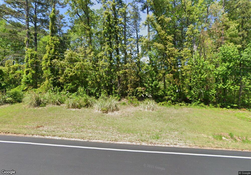
8127 E Highway 5 Whitesburg, GA 30185
Estimated Value: $306,773 - $427,000
2
Beds
3
Baths
1,621
Sq Ft
$223/Sq Ft
Est. Value
About This Home
This home is located at 8127 E Highway 5, Whitesburg, GA 30185 and is currently estimated at $362,193, approximately $223 per square foot. 8127 E Highway 5 is a home located in Douglas County with nearby schools including South Douglas Elementary School, Fairplay Middle School, and Alexander High School.
Ownership History
Date
Name
Owned For
Owner Type
Purchase Details
Closed on
Jul 26, 1999
Sold by
Butler Randy
Bought by
Gann Durwood D and Gann Debbie S
Current Estimated Value
Home Financials for this Owner
Home Financials are based on the most recent Mortgage that was taken out on this home.
Original Mortgage
$132,800
Outstanding Balance
$38,401
Interest Rate
7.73%
Mortgage Type
New Conventional
Estimated Equity
$323,792
Create a Home Valuation Report for This Property
The Home Valuation Report is an in-depth analysis detailing your home's value as well as a comparison with similar homes in the area
Home Values in the Area
Average Home Value in this Area
Purchase History
| Date | Buyer | Sale Price | Title Company |
|---|---|---|---|
| Gann Durwood D | $162,500 | -- |
Source: Public Records
Mortgage History
| Date | Status | Borrower | Loan Amount |
|---|---|---|---|
| Open | Gann Durwood D | $132,800 |
Source: Public Records
Tax History Compared to Growth
Tax History
| Year | Tax Paid | Tax Assessment Tax Assessment Total Assessment is a certain percentage of the fair market value that is determined by local assessors to be the total taxable value of land and additions on the property. | Land | Improvement |
|---|---|---|---|---|
| 2024 | $625 | $104,440 | $21,400 | $83,040 |
| 2023 | $625 | $104,440 | $21,400 | $83,040 |
| 2022 | $651 | $81,840 | $16,440 | $65,400 |
| 2021 | $651 | $70,160 | $16,440 | $53,720 |
| 2020 | $651 | $70,160 | $16,440 | $53,720 |
| 2019 | $530 | $68,960 | $16,440 | $52,520 |
| 2018 | $530 | $67,000 | $16,440 | $50,560 |
| 2017 | $558 | $58,880 | $14,200 | $44,680 |
| 2016 | $516 | $51,800 | $12,920 | $38,880 |
| 2015 | $1,603 | $52,000 | $13,200 | $38,800 |
| 2014 | $1,656 | $52,640 | $16,480 | $36,160 |
| 2013 | -- | $52,920 | $16,480 | $36,440 |
Source: Public Records
Map
Nearby Homes
- 8050 Tristan Way
- 8075 Tristan Way
- 8291 E Highway 5
- 8754 St Andrews Pkwy
- 7738 Post Rd
- Hazel Plan at St. Andrews
- Elder Plan at St. Andrews
- Fairview Plan at St. Andrews
- Cedar Plan at St. Andrews
- 7947 Post Rd
- 8834 St Andrews Pkwy
- 8854 St Andrews Pkwy
- 8991 Celtic Dr
- 7722 Austin Ct
- 7732 Austin Ct
- 8747 Camron Dr
- 0 Mount Zion Church Rd Unit 10625368
- 7532 Milford Place
- 8870 Dornoch Cir
- 9013 Dornoch Cir
- 8126 E Highway 5
- 8138 E Highway 5
- 8176 E Highway 5
- 8155 E Highway 5 Unit 1
- 8111 E Highway 5
- 8405 Wilson Rd
- 8200 E Highway 5
- 8363 Wilson Rd
- 8395 Wilson Rd
- 8333 Wilson Rd
- 8200 Mill Run Trail
- 8020 Tristan Way
- 8110 Tyree Rd
- 8199 Tyree Rd
- 8469 Wilson Rd
- 8570 Renee Ct
- 8570 Renee Ct Unit 16
- 8040 Tristan Way
- 8390 Wilson Rd
- 8120 Tyree Rd
