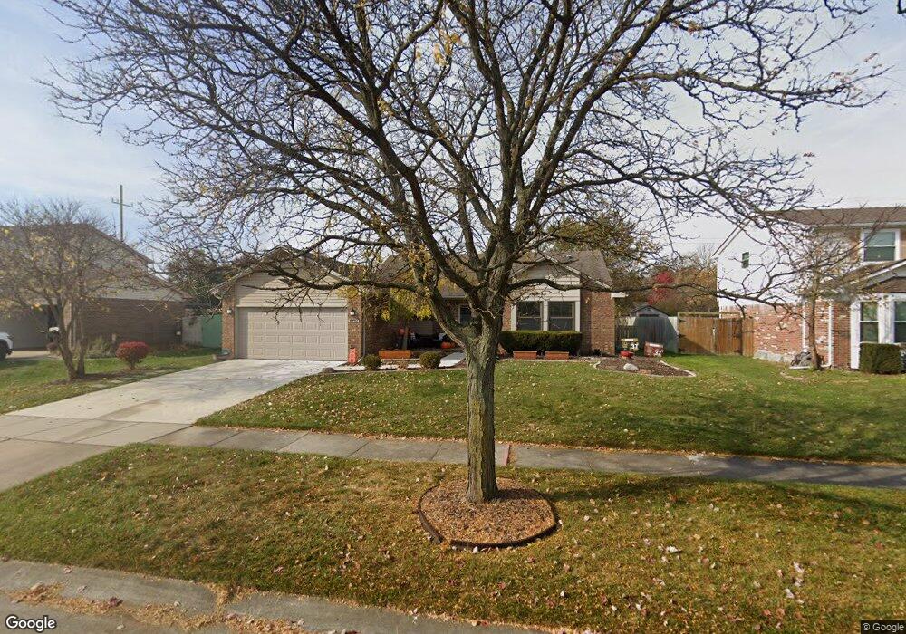
8127 Warfield St Canton, MI 48187
Estimated Value: $374,000 - $427,000
3
Beds
2
Baths
1,472
Sq Ft
$269/Sq Ft
Est. Value
About This Home
This home is located at 8127 Warfield St, Canton, MI 48187 and is currently estimated at $396,653, approximately $269 per square foot. 8127 Warfield St is a home located in Wayne County with nearby schools including Canton High School, Salem High School, and East Middle School.
Ownership History
Date
Name
Owned For
Owner Type
Purchase Details
Closed on
Aug 16, 2014
Sold by
Brown Andrew
Bought by
Brown Andrew and Brown Alison
Current Estimated Value
Home Financials for this Owner
Home Financials are based on the most recent Mortgage that was taken out on this home.
Original Mortgage
$137,200
Outstanding Balance
$104,576
Interest Rate
4.1%
Mortgage Type
New Conventional
Estimated Equity
$292,077
Purchase Details
Closed on
Aug 15, 2011
Sold by
Gollbach Lura Lynn
Bought by
Brown Andrew
Create a Home Valuation Report for This Property
The Home Valuation Report is an in-depth analysis detailing your home's value as well as a comparison with similar homes in the area
Home Values in the Area
Average Home Value in this Area
Purchase History
| Date | Buyer | Sale Price | Title Company |
|---|---|---|---|
| Brown Andrew | -- | First American Title Ins Co | |
| Brown Andrew | $144,500 | Liberty Title |
Source: Public Records
Mortgage History
| Date | Status | Borrower | Loan Amount |
|---|---|---|---|
| Open | Brown Andrew | $137,200 |
Source: Public Records
Tax History
| Year | Tax Paid | Tax Assessment Tax Assessment Total Assessment is a certain percentage of the fair market value that is determined by local assessors to be the total taxable value of land and additions on the property. | Land | Improvement |
|---|---|---|---|---|
| 2025 | $1,968 | $202,400 | $0 | $0 |
| 2024 | $1,912 | $183,000 | $0 | $0 |
| 2023 | $1,823 | $161,100 | $0 | $0 |
| 2022 | $4,013 | $139,600 | $0 | $0 |
| 2021 | $3,904 | $132,800 | $0 | $0 |
| 2020 | $3,845 | $132,700 | $0 | $0 |
| 2019 | $3,781 | $122,920 | $0 | $0 |
| 2018 | $1,549 | $122,610 | $0 | $0 |
| 2017 | $3,868 | $119,900 | $0 | $0 |
| 2016 | $3,438 | $119,900 | $0 | $0 |
| 2015 | $8,513 | $109,200 | $0 | $0 |
| 2013 | $8,247 | $88,110 | $0 | $0 |
| 2010 | -- | $85,930 | $40,656 | $45,274 |
Source: Public Records
Map
Nearby Homes
- 7925 N Sheldon Rd
- 44570 Tillotson Dr
- 0 Joy Rd Unit Parcel 3
- 0 Joy Rd Unit Parcel 2
- 0 Joy Rd Unit Parcel B
- 0 Joy Rd Unit Parcel A
- 44805 Joy Rd
- 43529 Oakbrook Rd
- 8815 Marlowe Ave
- 43086 Versailles Rd
- 8830 Northern Ave
- 9011 Elmhurst Ave
- 44432 Newburyport Dr
- 43009 Arlington Rd
- 9048 Brookline Ave
- 9021 Elmhurst Ave
- 6852 New Providence Way Unit 104
- 45900 Gainsborough Dr
- 9195 N Canton Center Rd
- 8887 Morrison Ave
- 8145 Warfield St
- 8109 Warfield St
- 8163 Warfield St
- 8091 Warfield St
- 44250 Candlewood Dr
- 8073 Warfield St
- 8181 Warfield St
- 8177 N Sheldon Rd
- 44251 Sheridan St
- 8090 Warfield St
- 44236 Candlewood Dr
- 8072 Warfield St
- 8055 Warfield St
- 44237 Sheridan St
- 44222 Candlewood Dr
- 8199 Warfield St
- 44215 Candlewood Dr
- 44223 Sheridan St
- 8054 Warfield St
- 44266 Sheridan St
Your Personal Tour Guide
Ask me questions while you tour the home.