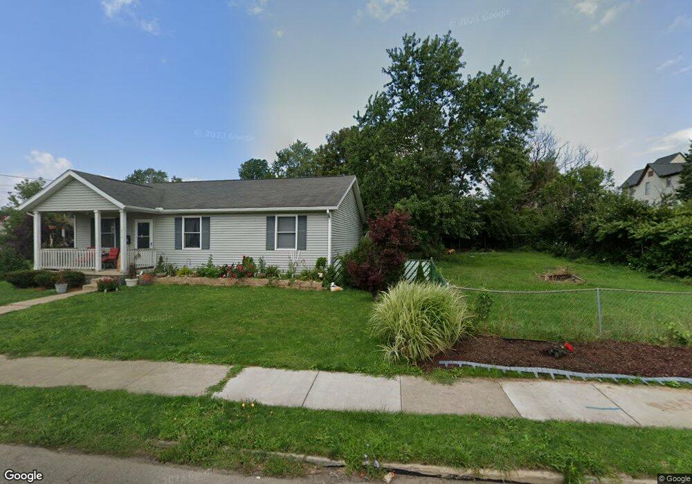
813 6th St SW Canton, OH 44707
Southwest Association of Neighbors NeighborhoodEstimated Value: $60,000 - $130,347
--
Bed
1
Bath
--
Sq Ft
3,398
Sq Ft Lot
About This Home
This home is located at 813 6th St SW, Canton, OH 44707 and is currently estimated at $100,587. 813 6th St SW is a home located in Stark County with nearby schools including Early Learning Center @ Schreiber, Cedar Elementary School, and Clarendon Intermediate School.
Ownership History
Date
Name
Owned For
Owner Type
Purchase Details
Closed on
Feb 22, 2017
Sold by
Stark County Land Reutilization Corporat
Bought by
Brooks Golda D
Current Estimated Value
Purchase Details
Closed on
Dec 9, 2016
Sold by
Hinchcliff Michael
Bought by
Stark County Land Reutilization Corporat
Purchase Details
Closed on
Sep 2, 1998
Sold by
Property Investments Gro
Bought by
Hinchcliff Michael
Home Financials for this Owner
Home Financials are based on the most recent Mortgage that was taken out on this home.
Original Mortgage
$40,500
Interest Rate
9.95%
Mortgage Type
New Conventional
Purchase Details
Closed on
Aug 26, 1997
Sold by
Mills Mark A
Bought by
Davis Matthew and Davis Velma
Purchase Details
Closed on
Aug 21, 1992
Create a Home Valuation Report for This Property
The Home Valuation Report is an in-depth analysis detailing your home's value as well as a comparison with similar homes in the area
Home Values in the Area
Average Home Value in this Area
Purchase History
| Date | Buyer | Sale Price | Title Company |
|---|---|---|---|
| Brooks Golda D | -- | None Available | |
| Stark County Land Reutilization Corporat | -- | None Available | |
| Hinchcliff Michael | $54,000 | -- | |
| Davis Matthew | $10,000 | -- | |
| -- | -- | -- |
Source: Public Records
Mortgage History
| Date | Status | Borrower | Loan Amount |
|---|---|---|---|
| Previous Owner | Hinchcliff Michael | $40,500 |
Source: Public Records
Tax History Compared to Growth
Tax History
| Year | Tax Paid | Tax Assessment Tax Assessment Total Assessment is a certain percentage of the fair market value that is determined by local assessors to be the total taxable value of land and additions on the property. | Land | Improvement |
|---|---|---|---|---|
| 2025 | -- | $1,160 | $1,160 | -- |
| 2024 | -- | $1,160 | $1,160 | -- |
| 2023 | $45 | $740 | $740 | -- |
| 2022 | $44 | $740 | $740 | $0 |
| 2021 | $44 | $740 | $740 | $0 |
| 2020 | $42 | $630 | $630 | $0 |
| 2019 | $43 | $630 | $630 | $0 |
| 2018 | $37 | $630 | $630 | $0 |
| 2017 | $6 | $600 | $600 | $0 |
| 2016 | $0 | $600 | $600 | $0 |
| 2015 | $446 | $4,700 | $1,160 | $3,540 |
| 2014 | $644 | $4,550 | $1,120 | $3,430 |
| 2013 | $226 | $4,550 | $1,120 | $3,430 |
Source: Public Records
Map
Nearby Homes
- 1024 3rd St NW
- 1111 2nd St NW
- 1015 4th St NW
- 413 Newton Ave NW
- 1033 Monnot Place NW
- 1016 Clinton Ave SW
- 719 Prospect Ave SW
- 916 6th St NW
- 817 Prospect Ave SW
- 1017 Clinton Ave SW
- 646 Dueber Ave SW
- 722 High Ave NW
- 202 Lincoln Ave NW
- 633 Park Ave SW
- 1405 8th St NW
- 1409 8th St NW
- 435 Hazlett Ave NW
- 1334 Margaret Ave SW
- 1221 9th St NW
- 631 Greenfield Ave SW