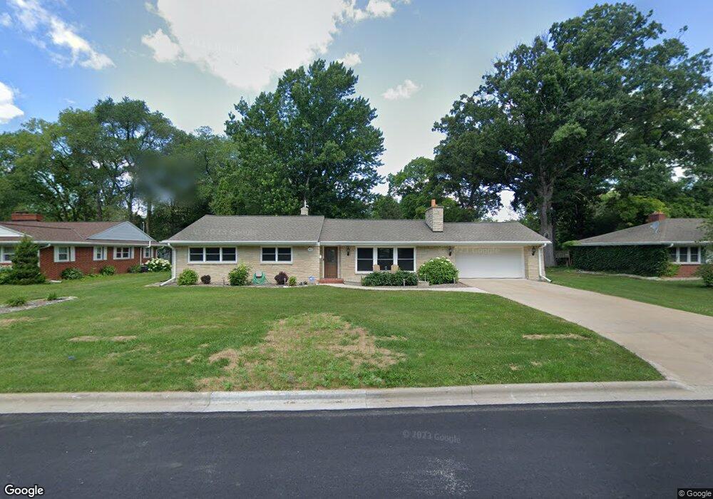
813 W St Francis Rd de Pere, WI 54115
Estimated Value: $342,000 - $404,496
3
Beds
2
Baths
2,294
Sq Ft
$161/Sq Ft
Est. Value
About This Home
This home is located at 813 W St Francis Rd, de Pere, WI 54115 and is currently estimated at $369,124, approximately $160 per square foot. 813 W St Francis Rd is a home located in Brown County with nearby schools including Dickinson Elementary School, Foxview Intermediate School, and De Pere Middle School.
Ownership History
Date
Name
Owned For
Owner Type
Purchase Details
Closed on
Apr 15, 2011
Sold by
Verboort John R
Bought by
Mallo Rick and Mallo Wendy
Current Estimated Value
Home Financials for this Owner
Home Financials are based on the most recent Mortgage that was taken out on this home.
Original Mortgage
$115,000
Interest Rate
4%
Mortgage Type
Seller Take Back
Purchase Details
Closed on
Oct 16, 2006
Sold by
Payette Ronald M and Payette Patricia L
Bought by
Verboort John R
Create a Home Valuation Report for This Property
The Home Valuation Report is an in-depth analysis detailing your home's value as well as a comparison with similar homes in the area
Home Values in the Area
Average Home Value in this Area
Purchase History
| Date | Buyer | Sale Price | Title Company |
|---|---|---|---|
| Mallo Rick | $135,000 | Liberty Title | |
| Verboort John R | $180,000 | Title Foundation Llc |
Source: Public Records
Mortgage History
| Date | Status | Borrower | Loan Amount |
|---|---|---|---|
| Closed | Mallo Rick | $115,000 |
Source: Public Records
Tax History Compared to Growth
Tax History
| Year | Tax Paid | Tax Assessment Tax Assessment Total Assessment is a certain percentage of the fair market value that is determined by local assessors to be the total taxable value of land and additions on the property. | Land | Improvement |
|---|---|---|---|---|
| 2024 | $3,505 | $250,300 | $49,400 | $200,900 |
| 2023 | $3,203 | $238,300 | $49,400 | $188,900 |
| 2022 | $3,093 | $207,400 | $49,400 | $158,000 |
| 2021 | $2,848 | $180,300 | $41,200 | $139,100 |
| 2020 | $2,901 | $169,700 | $41,200 | $128,500 |
| 2019 | $3,074 | $163,500 | $41,200 | $122,300 |
| 2018 | $3,140 | $152,400 | $41,200 | $111,200 |
| 2017 | $2,847 | $135,600 | $41,200 | $94,400 |
| 2016 | $2,897 | $135,600 | $41,200 | $94,400 |
| 2015 | $2,792 | $129,200 | $41,200 | $88,000 |
| 2014 | $2,822 | $129,200 | $41,200 | $88,000 |
| 2013 | $2,822 | $129,200 | $41,200 | $88,000 |
Source: Public Records
Map
Nearby Homes
- 1202 Ridgeway Blvd
- 636 N Erie St
- 607 N Winnebago St
- 907 Fulton St
- 1219 Irwin Ave
- 641 N Huron St
- 1020 Franklin St
- 120 N Winnebago St
- 1421 Ridgeway Dr Unit 1423
- 1004 Gulfstream Ct
- 103 Zita St
- 363 Battery Ave
- 1611 N Honeysuckle Cir
- 305 Battery Ave
- 416 Lansdowne St
- 337 Battery Ave
- 385 Battery Ave
- 413 Brookline Ave
- 410 Battery Ave
- 400 Battery Ave
- 813 W Saint Francis Rd
- 803 W St Francis Rd
- 821 W Saint Francis Rd
- 803 W Saint Francis Rd
- 803 W St Francis
- 810 Urbandale Ave
- 822 Urbandale Ave
- 802 Urbandale Ave
- 812 W Saint Francis Rd
- 831 W Saint Francis Rd
- 820 W Saint Francis Rd
- 802 W Saint Francis Rd
- 832 Urbandale Ave
- 830 W Saint Francis Rd
- 841 W Saint Francis Rd
- 841 W St Francis Rd
- 1026 Ridgeway Blvd
- 840 Urbandale Ave
- 817 Urbandale Ave
- 823 E Saint Francis Rd