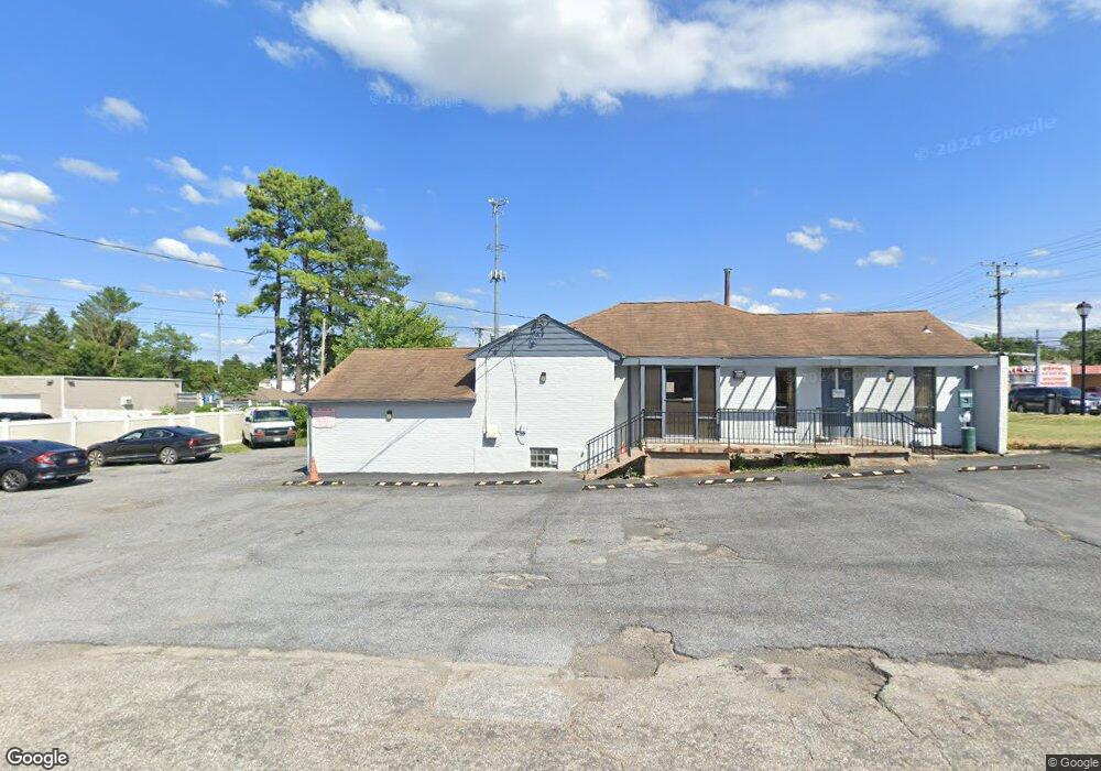
8130 Liberty Rd Baltimore, MD 21244
Estimated Value: $595,751
--
Bed
--
Bath
2,436
Sq Ft
$245/Sq Ft
Est. Value
About This Home
This home is located at 8130 Liberty Rd, Baltimore, MD 21244 and is currently estimated at $595,751, approximately $244 per square foot. 8130 Liberty Rd is a home located in Baltimore County with nearby schools including Scotts Branch Elementary School, Northwest Academy of Health Sciences, and Milford Mill Academy.
Ownership History
Date
Name
Owned For
Owner Type
Purchase Details
Closed on
Jul 29, 2019
Sold by
Brown Bruce H and Brown Geraldine R
Bought by
Spk 8130 Liberty Llc
Current Estimated Value
Home Financials for this Owner
Home Financials are based on the most recent Mortgage that was taken out on this home.
Original Mortgage
$312,000
Outstanding Balance
$273,814
Interest Rate
3.8%
Mortgage Type
Commercial
Estimated Equity
$321,937
Purchase Details
Closed on
Mar 31, 1998
Sold by
Brown Bruce Howard
Bought by
Brown Bruce H and Brown Geraldine R
Purchase Details
Closed on
Jan 28, 1993
Sold by
Herbert Norman Herbert Rita
Bought by
Brown Bruce Howard
Create a Home Valuation Report for This Property
The Home Valuation Report is an in-depth analysis detailing your home's value as well as a comparison with similar homes in the area
Home Values in the Area
Average Home Value in this Area
Purchase History
| Date | Buyer | Sale Price | Title Company |
|---|---|---|---|
| Spk 8130 Liberty Llc | $390,000 | None Available | |
| Brown Bruce H | -- | -- | |
| Brown Bruce Howard | $112,500 | -- |
Source: Public Records
Mortgage History
| Date | Status | Borrower | Loan Amount |
|---|---|---|---|
| Open | Spk 8130 Liberty Llc | $312,000 | |
| Closed | Spk 8130 Liberty Llc | $68,000 |
Source: Public Records
Tax History Compared to Growth
Tax History
| Year | Tax Paid | Tax Assessment Tax Assessment Total Assessment is a certain percentage of the fair market value that is determined by local assessors to be the total taxable value of land and additions on the property. | Land | Improvement |
|---|---|---|---|---|
| 2025 | $5,386 | $369,867 | -- | -- |
| 2024 | $5,386 | $365,200 | $192,500 | $172,700 |
| 2023 | $2,493 | $329,067 | $0 | $0 |
| 2022 | $4,067 | $292,933 | $0 | $0 |
| 2021 | $3,524 | $256,800 | $192,500 | $64,300 |
| 2020 | $3,527 | $256,800 | $192,500 | $64,300 |
| 2019 | $3,112 | $256,800 | $192,500 | $64,300 |
| 2018 | $3,654 | $260,500 | $192,500 | $68,000 |
| 2017 | $4,058 | $259,067 | $0 | $0 |
| 2016 | $3,682 | $257,633 | $0 | $0 |
| 2015 | $3,682 | $256,200 | $0 | $0 |
| 2014 | $3,682 | $256,200 | $0 | $0 |
Source: Public Records
Map
Nearby Homes
- 3507 Ellen
- 3538 Milford Mill Rd
- 3608 Kenmar Rd
- 8206 Kirk Farm Cir
- 3517 N Rolling Rd
- 3508 Joann Dr
- 3414 Milford Mill Rd
- 3512 Saint James Rd
- 3909 Mladies Ct
- 3901 Princely Way
- 8322 Lages Ln
- 3621 Washington Ave
- 7906 Montwood Rd
- 3715 Washington Ave
- 4729 Byron Rd
- 3646 Clifmar Rd
- 3924 Rolling Rd Unit 6B
- 3924 Rolling Rd
- 3700 Crossleigh Ct
- 7803 Brevort Rd
- 8124 Liberty Rd
- 8134 Liberty Rd
- 8121 Liberty Rd
- 3613 Eitemiller Rd
- 8136 Liberty Rd
- 8136 Liberty Rd Unit C
- 3610 Eitemiller Rd
- 8114 Liberty Rd
- 3615 Eitemiller Rd
- 8138 Liberty Rd
- 8119 Liberty Rd
- 3612 Eitemiller Rd
- 3605 Langrehr Rd
- 3518 Ellen Rd
- 8140 Liberty Rd
- 3617 Eitemiller Rd
- 3607 Langrehr Rd
- 8117 Liberty Rd
- 3614 Eitemiller Rd
- 3523 Ellen Rd