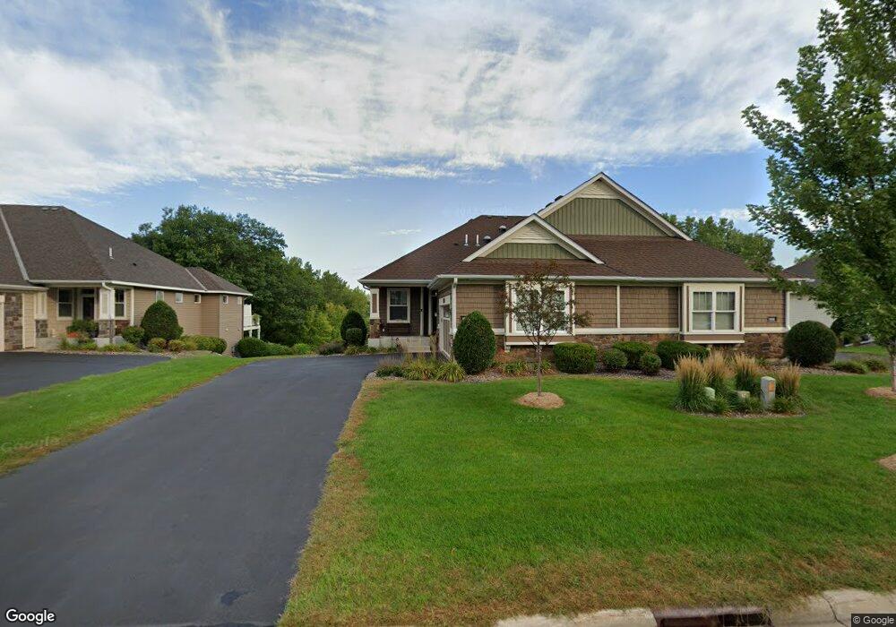
8132 W 132nd St Savage, MN 55378
Estimated Value: $445,000 - $595,343
3
Beds
2
Baths
1,518
Sq Ft
$352/Sq Ft
Est. Value
About This Home
This home is located at 8132 W 132nd St, Savage, MN 55378 and is currently estimated at $534,586, approximately $352 per square foot. 8132 W 132nd St is a home with nearby schools including Eagle Ridge Middle School, Burnsville High School, and Aspen Academy.
Ownership History
Date
Name
Owned For
Owner Type
Purchase Details
Closed on
Aug 5, 2021
Sold by
Crow Gerald and Crow Myra
Bought by
Crow Gerald and Crow Myra
Current Estimated Value
Purchase Details
Closed on
Dec 4, 2014
Sold by
Trout Run Preserve Llc
Bought by
Crow Gerald C and Crow Myra A
Home Financials for this Owner
Home Financials are based on the most recent Mortgage that was taken out on this home.
Original Mortgage
$417,000
Interest Rate
3.91%
Mortgage Type
VA
Create a Home Valuation Report for This Property
The Home Valuation Report is an in-depth analysis detailing your home's value as well as a comparison with similar homes in the area
Home Values in the Area
Average Home Value in this Area
Purchase History
| Date | Buyer | Sale Price | Title Company |
|---|---|---|---|
| Crow Gerald | -- | None Listed On Document | |
| Crow Gerald C | $457,384 | Custom Home Bldrs Title |
Source: Public Records
Mortgage History
| Date | Status | Borrower | Loan Amount |
|---|---|---|---|
| Previous Owner | Crow Gerald C | $417,000 |
Source: Public Records
Tax History Compared to Growth
Tax History
| Year | Tax Paid | Tax Assessment Tax Assessment Total Assessment is a certain percentage of the fair market value that is determined by local assessors to be the total taxable value of land and additions on the property. | Land | Improvement |
|---|---|---|---|---|
| 2025 | $6,336 | $564,200 | $170,000 | $394,200 |
| 2024 | $5,976 | $561,200 | $164,800 | $396,400 |
| 2023 | $6,028 | $541,600 | $164,800 | $376,800 |
| 2022 | $5,398 | $546,300 | $167,600 | $378,700 |
| 2021 | $5,540 | $519,900 | $146,300 | $373,600 |
| 2020 | $5,690 | $451,200 | $117,000 | $334,200 |
| 2019 | $5,962 | $447,100 | $113,000 | $334,100 |
| 2018 | $6,232 | $0 | $0 | $0 |
| 2016 | $6,582 | $0 | $0 | $0 |
| 2014 | -- | $0 | $0 | $0 |
Source: Public Records
Map
Nearby Homes
- 8160 Virginia Ln
- 8600 W 132nd St
- 13251 Pennsylvania Ave
- 8821 Preserve Place
- 13186 Meadow Ln
- 13539 Foxberry Rd
- 9007 Meadow Place
- 13032 Falcons Way
- 13651 Dan Patch Dr
- 9200 W 136th St
- 6627 133rd St
- xxxx Sumter Ave
- 6512 133rd St
- 8109 139th St
- 6514 134th Ln
- 9120 138th St W
- 13933 Ventura Place
- 13986 W Virginia Ave
- 13954 Shoreside Cir
- 7013 Connelly Ct
- 8126 W 132nd St
- 8126 8126 132nd St SW
- 8138 W 132nd St
- 8138 8138 132nd St
- 8106 W 132nd St
- 8120 W 132nd St
- 8144 132nd St W
- 8144 W 132nd St
- 8144 8144 132nd-Street-
- 8144 8144 132nd-Street-w
- 8114 W 132nd St
- 8150 W 132nd St
- 8130 Virginia Place
- 8136 Virginia Ln
- 8136 Virginia Place
- 8124 Virginia Ln
- 8118 Virginia Place
- 8142 Virginia Place
- 8108 W 132nd St
- 8156 W 132nd St