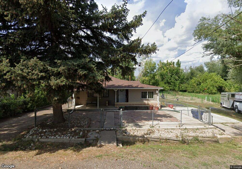
8133 1st Ave Arvada, CO 80007
Leyden Rock NeighborhoodEstimated Value: $653,000 - $826,000
2
Beds
1
Bath
1,100
Sq Ft
$655/Sq Ft
Est. Value
About This Home
This home is located at 8133 1st Ave, Arvada, CO 80007 and is currently estimated at $720,145, approximately $654 per square foot. 8133 1st Ave is a home located in Jefferson County with nearby schools including West Woods Elementary School, Drake Junior High School, and Ralston Valley Senior High School.
Ownership History
Date
Name
Owned For
Owner Type
Purchase Details
Closed on
Apr 30, 1998
Sold by
Edwin Mcguire John
Bought by
Alarid Macmarie I
Current Estimated Value
Home Financials for this Owner
Home Financials are based on the most recent Mortgage that was taken out on this home.
Original Mortgage
$117,000
Outstanding Balance
$22,841
Interest Rate
7.09%
Estimated Equity
$697,304
Purchase Details
Closed on
Aug 25, 1995
Sold by
Mcguire J E
Bought by
Mcguire John Edwin
Home Financials for this Owner
Home Financials are based on the most recent Mortgage that was taken out on this home.
Original Mortgage
$85,350
Interest Rate
7.6%
Create a Home Valuation Report for This Property
The Home Valuation Report is an in-depth analysis detailing your home's value as well as a comparison with similar homes in the area
Home Values in the Area
Average Home Value in this Area
Purchase History
| Date | Buyer | Sale Price | Title Company |
|---|---|---|---|
| Alarid Macmarie I | $162,000 | North American Title Co | |
| Mcguire John Edwin | -- | North American Title |
Source: Public Records
Mortgage History
| Date | Status | Borrower | Loan Amount |
|---|---|---|---|
| Open | Alarid Macmarie I | $117,000 | |
| Previous Owner | Mcguire John Edwin | $85,350 |
Source: Public Records
Tax History Compared to Growth
Tax History
| Year | Tax Paid | Tax Assessment Tax Assessment Total Assessment is a certain percentage of the fair market value that is determined by local assessors to be the total taxable value of land and additions on the property. | Land | Improvement |
|---|---|---|---|---|
| 2024 | $2,276 | $48,945 | $24,526 | $24,419 |
| 2023 | $2,276 | $48,945 | $24,526 | $24,419 |
| 2022 | $2,245 | $30,256 | $11,865 | $18,391 |
| 2021 | $2,276 | $31,126 | $12,206 | $18,920 |
| 2020 | $2,397 | $25,271 | $7,593 | $17,678 |
| 2019 | $2,361 | $25,271 | $7,593 | $17,678 |
| 2018 | $2,491 | $25,839 | $11,095 | $14,744 |
| 2017 | $2,275 | $25,839 | $11,095 | $14,744 |
Source: Public Records
Map
Nearby Homes
- 16096 W 84th Ln
- 8275 Moss Cir
- 7787 Mcintyre Ct
- 8625 Rogers Way Unit B
- 17223 W 84th Dr
- 16908 W 86th Ave
- 16847 W 86th Ave
- 16843 W 75th Place
- 16225 W 74th Dr
- 16978 W 87th Ave
- 17097 W 87th Ave
- 15518 W 75th Place
- 17935 W 77th Dr
- 7570 Loveland Cir
- 7355 Nile St
- 17891 W 77th Dr
- 7209 Secrest Ct
- 18366 W 83rd Dr
- 8358 Howell St Unit B
- 7750 Indiana St