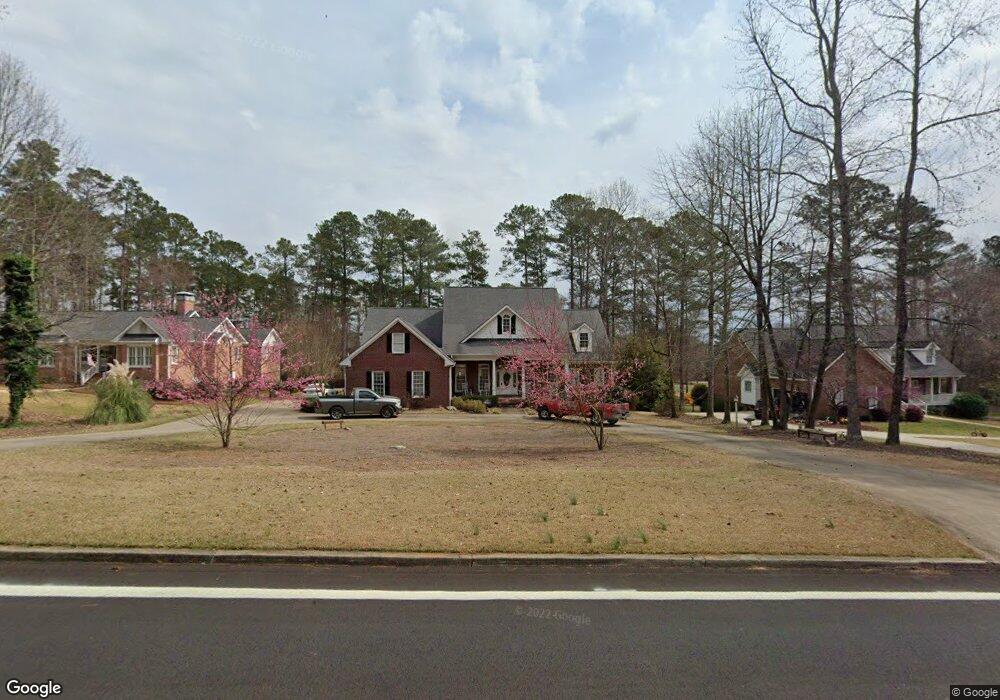
8133 Dearing St SE Covington, GA 30014
Estimated Value: $502,519 - $598,000
--
Bed
3
Baths
2,785
Sq Ft
$201/Sq Ft
Est. Value
About This Home
This home is located at 8133 Dearing St SE, Covington, GA 30014 and is currently estimated at $559,630, approximately $200 per square foot. 8133 Dearing St SE is a home located in Newton County with nearby schools including East Newton Elementary School, Cousins Middle School, and Eastside High School.
Ownership History
Date
Name
Owned For
Owner Type
Purchase Details
Closed on
Sep 29, 2015
Sold by
Mason Alton W
Bought by
Seabolt Tammy K
Current Estimated Value
Home Financials for this Owner
Home Financials are based on the most recent Mortgage that was taken out on this home.
Original Mortgage
$304,000
Outstanding Balance
$239,589
Interest Rate
3.93%
Mortgage Type
Commercial
Estimated Equity
$320,041
Purchase Details
Closed on
Aug 29, 1996
Sold by
Price B Kevin
Bought by
Mason Alton W Debra L
Create a Home Valuation Report for This Property
The Home Valuation Report is an in-depth analysis detailing your home's value as well as a comparison with similar homes in the area
Home Values in the Area
Average Home Value in this Area
Purchase History
| Date | Buyer | Sale Price | Title Company |
|---|---|---|---|
| Seabolt Tammy K | $320,000 | -- | |
| Mason Alton W Debra L | $35,000 | -- |
Source: Public Records
Mortgage History
| Date | Status | Borrower | Loan Amount |
|---|---|---|---|
| Open | Seabolt Tammy K | $304,000 | |
| Closed | Mason Alton W Debra L | $0 |
Source: Public Records
Tax History Compared to Growth
Tax History
| Year | Tax Paid | Tax Assessment Tax Assessment Total Assessment is a certain percentage of the fair market value that is determined by local assessors to be the total taxable value of land and additions on the property. | Land | Improvement |
|---|---|---|---|---|
| 2024 | $6,963 | $235,760 | $26,000 | $209,760 |
| 2023 | $7,320 | $230,400 | $15,200 | $215,200 |
| 2022 | $5,945 | $186,160 | $15,200 | $170,960 |
| 2021 | $5,356 | $150,720 | $15,200 | $135,520 |
| 2020 | $5,671 | $145,440 | $15,200 | $130,240 |
| 2019 | $5,369 | $135,400 | $15,200 | $120,200 |
| 2018 | $2,659 | $132,640 | $15,200 | $117,440 |
| 2017 | $4,775 | $119,440 | $22,800 | $96,640 |
| 2016 | $4,940 | $120,200 | $19,200 | $101,000 |
| 2015 | $3,895 | $97,920 | $19,200 | $78,720 |
| 2014 | $3,896 | $97,920 | $0 | $0 |
Source: Public Records
Map
Nearby Homes
- 8239 High Lake Terrace SE
- 6176 Pinewood Dr SE
- 6111 Old Monticello St SE
- 322 Pinewood Dr
- 6169 Pinewood Dr SE
- 8384 Fairway Dr
- 8193 Monticello St
- 6134 Linwood Dr SE
- 8370 Fairway Dr
- 6129 Linwood Dr SE
- 8291 Fairway Dr
- 10119 Azalea Dr
- 5132 Forest Dr SE
- 10110 Malcolm Ct
- 0 Petty St Unit 10547316
- 0 Petty St Unit 7640177
- 9122 Golfview Cir
- 10183 N Links Dr
- 8121 Dearing St SE
- 8147 Dearing St SE
- 8147 S Dearing St
- 8147 Dearing St SE
- 7257 Woodland Ave SE
- 0 Woodland Ave SE Unit 8690652
- 0 Woodland Ave SE Unit 7108180
- 0 Woodland Ave SE Unit 3115125
- 0 Woodland Ave SE Unit 7221863
- 0 Woodland Ave SE Unit 7424619
- 0 Woodland Ave SE Unit 8217331
- 8163 Dearing St SE
- 7199 Dearing St SE
- 7263 Woodland Ave SE
- 7701 Dearing St SE
- 7249 Woodland Ave SE
- 8107 Woodland Ave SE
- 8179 Dearing St SE
- 7241 Woodland Ave SE
- 7125 High Lake Terrace SE