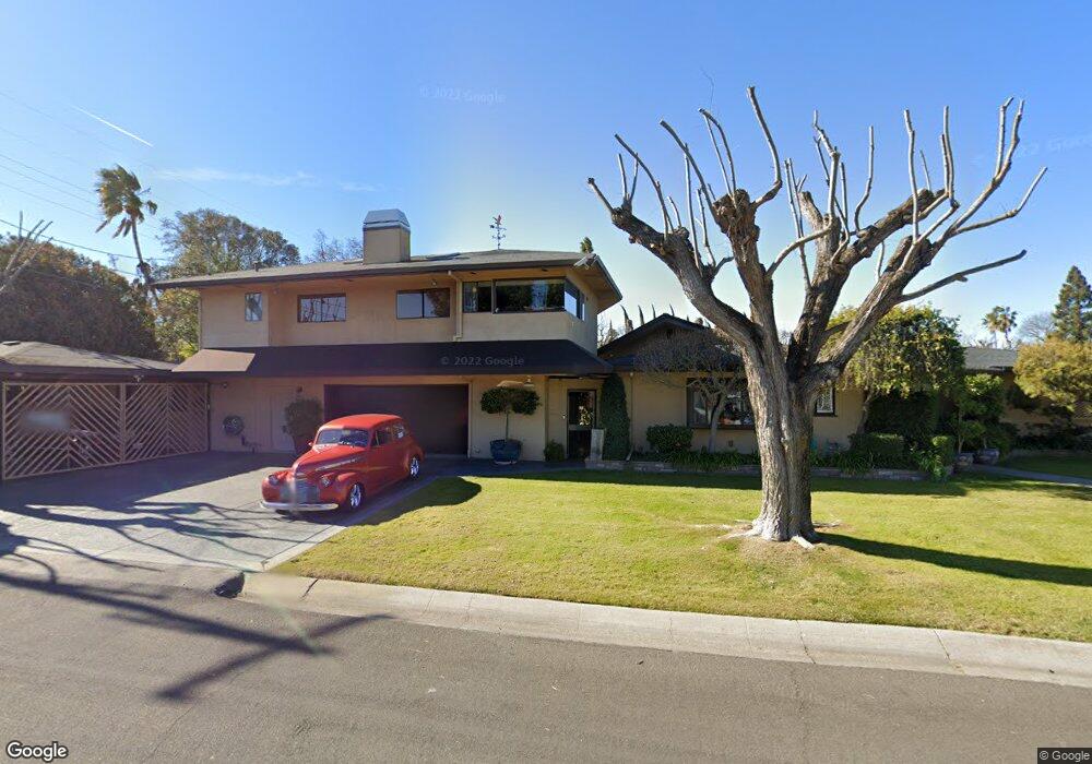
8139 Capistrano Ave Stockton, CA 95209
Colonial Heights NeighborhoodEstimated Value: $357,000 - $519,000
3
Beds
3
Baths
1,956
Sq Ft
$235/Sq Ft
Est. Value
About This Home
This home is located at 8139 Capistrano Ave, Stockton, CA 95209 and is currently estimated at $459,542, approximately $234 per square foot. 8139 Capistrano Ave is a home located in San Joaquin County with nearby schools including Colonial Heights School, Sierra Middle School, and Lincoln High School.
Ownership History
Date
Name
Owned For
Owner Type
Purchase Details
Closed on
May 23, 2001
Sold by
Liddiard Michael D and Liddiard Donna S
Bought by
Liddiard Michael D and Liddiard Donna S
Current Estimated Value
Purchase Details
Closed on
Apr 18, 1994
Sold by
Liddiard Michael D
Bought by
Liddiard Michael D and Liddiard Donna S
Home Financials for this Owner
Home Financials are based on the most recent Mortgage that was taken out on this home.
Original Mortgage
$65,500
Interest Rate
8.52%
Create a Home Valuation Report for This Property
The Home Valuation Report is an in-depth analysis detailing your home's value as well as a comparison with similar homes in the area
Home Values in the Area
Average Home Value in this Area
Purchase History
| Date | Buyer | Sale Price | Title Company |
|---|---|---|---|
| Liddiard Michael D | -- | -- | |
| Liddiard Michael D | -- | Fidelity National Title Co |
Source: Public Records
Mortgage History
| Date | Status | Borrower | Loan Amount |
|---|---|---|---|
| Closed | Liddiard Michael D | $65,500 | |
| Closed | Liddiard Michael D | $36,000 |
Source: Public Records
Tax History Compared to Growth
Tax History
| Year | Tax Paid | Tax Assessment Tax Assessment Total Assessment is a certain percentage of the fair market value that is determined by local assessors to be the total taxable value of land and additions on the property. | Land | Improvement |
|---|---|---|---|---|
| 2025 | $4,518 | $199,311 | $28,384 | $170,927 |
| 2024 | $4,421 | $195,404 | $27,828 | $167,576 |
| 2023 | $4,354 | $191,574 | $27,283 | $164,291 |
| 2022 | $4,214 | $187,819 | $26,749 | $161,070 |
| 2021 | $4,139 | $184,137 | $26,225 | $157,912 |
| 2020 | $4,095 | $182,250 | $25,957 | $156,293 |
| 2019 | $4,060 | $178,678 | $25,449 | $153,229 |
| 2018 | $3,965 | $175,175 | $24,950 | $150,225 |
| 2017 | $3,888 | $171,741 | $24,461 | $147,280 |
| 2016 | $3,583 | $168,373 | $23,981 | $144,392 |
| 2014 | $3,641 | $162,597 | $23,159 | $139,438 |
Source: Public Records
Map
Nearby Homes
- 1629 Cortez Ave
- 1816 Cortez Ave
- 8011 N Pershing Ave
- 8347 San Pablo Way
- 2019 San Gabriel Way
- 8324 Rothesay Place
- 2112 Portola Ave
- 8160 Encino Ave
- 8811 Davis Rd
- 1235 Briarwood Way
- 8518 Burns Place
- 8419 Macduff Ct
- 948 Macduff Ave
- 1702 Meadow Ave
- 2417 Segarini Way
- 1418 Woodcreek Way
- 7512 Heather Dr
- 7523 Oakcreek Dr
- 7724 Peppertree Dr Unit 10
- 8306 Galloway Dr
- 1618 Paloma Ave
- 1548 Paloma Ave
- 8103 Capistrano Ave
- 1630 Paloma Ave
- 1617 Valencia Ave
- 1547 Valencia Ave
- 1536 Paloma Ave
- 1605 Paloma Ave
- 1629 Valencia Ave
- 1617 Paloma Ave
- 1642 Paloma Ave
- 1547 Paloma Ave
- 1535 Valencia Ave
- 1629 Paloma Ave
- 1641 Valencia Ave
- 1524 Paloma Ave
- 1535 Paloma Ave
- 1702 Paloma Ave
- 1641 Paloma Ave
- 1521 Valencia Ave