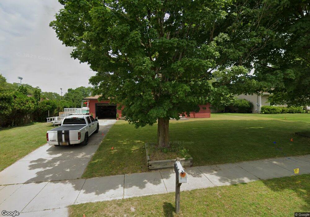
814 Alice St Whitehall, MI 49461
Estimated Value: $194,000 - $214,000
--
Bed
1
Bath
1,008
Sq Ft
$206/Sq Ft
Est. Value
About This Home
This home is located at 814 Alice St, Whitehall, MI 49461 and is currently estimated at $207,934, approximately $206 per square foot. 814 Alice St is a home located in Muskegon County with nearby schools including Shoreline Elementary School, Ealy Elementary School, and Whitehall Middle School.
Ownership History
Date
Name
Owned For
Owner Type
Purchase Details
Closed on
Nov 19, 2024
Sold by
Will James R
Bought by
James R Will Trust
Current Estimated Value
Purchase Details
Closed on
Nov 30, 2016
Sold by
Schenck Leilani Anne
Bought by
Will James
Home Financials for this Owner
Home Financials are based on the most recent Mortgage that was taken out on this home.
Original Mortgage
$45,000
Interest Rate
2.84%
Mortgage Type
New Conventional
Purchase Details
Closed on
Jun 10, 2005
Sold by
Connell Richard J and Connell Mildred E
Bought by
Schench Leilani Anne
Home Financials for this Owner
Home Financials are based on the most recent Mortgage that was taken out on this home.
Original Mortgage
$81,370
Interest Rate
7.75%
Mortgage Type
Fannie Mae Freddie Mac
Create a Home Valuation Report for This Property
The Home Valuation Report is an in-depth analysis detailing your home's value as well as a comparison with similar homes in the area
Home Values in the Area
Average Home Value in this Area
Purchase History
| Date | Buyer | Sale Price | Title Company |
|---|---|---|---|
| James R Will Trust | -- | None Listed On Document | |
| James R Will Trust | -- | None Listed On Document | |
| Will James | $83,000 | Midtstate Title Agency Llc | |
| Schench Leilani Anne | -- | -- |
Source: Public Records
Mortgage History
| Date | Status | Borrower | Loan Amount |
|---|---|---|---|
| Previous Owner | Will James | $45,000 | |
| Previous Owner | Schench Leilani Anne | $81,370 |
Source: Public Records
Tax History Compared to Growth
Tax History
| Year | Tax Paid | Tax Assessment Tax Assessment Total Assessment is a certain percentage of the fair market value that is determined by local assessors to be the total taxable value of land and additions on the property. | Land | Improvement |
|---|---|---|---|---|
| 2025 | $2,317 | $85,200 | $0 | $0 |
| 2024 | $1,450 | $81,500 | $0 | $0 |
| 2023 | $1,384 | $68,300 | $0 | $0 |
| 2022 | $2,249 | $59,600 | $0 | $0 |
| 2021 | $2,184 | $54,000 | $0 | $0 |
| 2020 | $2,159 | $50,700 | $0 | $0 |
| 2019 | $2,042 | $49,200 | $0 | $0 |
| 2018 | $1,988 | $44,800 | $0 | $0 |
| 2017 | $1,738 | $38,100 | $0 | $0 |
| 2016 | $845 | $35,400 | $0 | $0 |
| 2015 | -- | $33,400 | $0 | $0 |
| 2014 | -- | $33,000 | $0 | $0 |
| 2013 | -- | $30,300 | $0 | $0 |
Source: Public Records
Map
Nearby Homes
- 411 Peach St
- 1129 Wilshire Dr
- 616 E Slocum St
- 913 E Lewis St
- 205 S Franklin St
- 1221 S Timberview Dr Unit 10
- 1153 Spruce Pointe Dr
- 311 E Colby St
- 1316 Waters Edge Ct
- 911 S Division St
- 524 S Mears Ave
- The Birkshire II Plan at Tannery Bay
- The Crestview Plan at Tannery Bay
- The Jamestown Plan at Tannery Bay
- The Newport Plan at Tannery Bay
- The Sebastian Plan at Tannery Bay
- The Northport Plan at Tannery Bay
- The Empire Plan at Tannery Bay
- The Pentwater II Plan at Tannery Bay
- The Manistee Plan at Tannery Bay