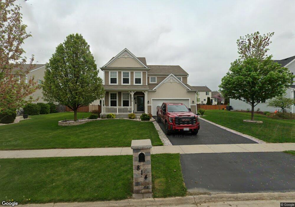
814 Avalon Way Minooka, IL 60447
North Minooka NeighborhoodEstimated Value: $397,000 - $419,000
--
Bed
1
Bath
2,698
Sq Ft
$150/Sq Ft
Est. Value
About This Home
This home is located at 814 Avalon Way, Minooka, IL 60447 and is currently estimated at $404,614, approximately $149 per square foot. 814 Avalon Way is a home with nearby schools including Jones Elementary School, Minooka Junior High School, and Minooka Intermediate School.
Ownership History
Date
Name
Owned For
Owner Type
Purchase Details
Closed on
Jan 20, 2012
Sold by
Centex Homes
Bought by
Mcphail Timothy E
Current Estimated Value
Home Financials for this Owner
Home Financials are based on the most recent Mortgage that was taken out on this home.
Original Mortgage
$208,087
Outstanding Balance
$142,180
Interest Rate
3.91%
Mortgage Type
FHA
Estimated Equity
$262,434
Create a Home Valuation Report for This Property
The Home Valuation Report is an in-depth analysis detailing your home's value as well as a comparison with similar homes in the area
Home Values in the Area
Average Home Value in this Area
Purchase History
| Date | Buyer | Sale Price | Title Company |
|---|---|---|---|
| Mcphail Timothy E | $213,500 | None Available |
Source: Public Records
Mortgage History
| Date | Status | Borrower | Loan Amount |
|---|---|---|---|
| Open | Mcphail Timothy E | $208,087 |
Source: Public Records
Tax History Compared to Growth
Tax History
| Year | Tax Paid | Tax Assessment Tax Assessment Total Assessment is a certain percentage of the fair market value that is determined by local assessors to be the total taxable value of land and additions on the property. | Land | Improvement |
|---|---|---|---|---|
| 2024 | $9,066 | $115,029 | $15,425 | $99,604 |
| 2023 | $7,055 | $105,139 | $14,690 | $90,449 |
| 2022 | $7,055 | $88,981 | $13,990 | $74,991 |
| 2021 | $6,910 | $84,985 | $14,203 | $70,782 |
| 2020 | $6,845 | $81,173 | $13,566 | $67,607 |
| 2019 | $6,894 | $79,690 | $13,318 | $66,372 |
| 2018 | $6,882 | $77,951 | $13,027 | $64,924 |
| 2017 | $6,973 | $77,951 | $13,027 | $64,924 |
| 2016 | $6,480 | $72,315 | $12,866 | $59,449 |
| 2015 | $6,536 | $72,315 | $12,210 | $60,105 |
| 2014 | -- | $69,987 | $12,210 | $57,777 |
| 2013 | -- | $69,987 | $12,210 | $57,777 |
Source: Public Records
Map
Nearby Homes
- 814 Daniel Dr
- 844 Daniel Dr
- 1419 Kettleson Dr
- 603 Briarcliff Dr
- 2041 Isabella Ln
- 2033 Isabella
- 194 acres W Holt Rd
- Lot 1 Minooka Ridge & Jones Rd
- LOT 1 Bob Blair Rd
- 103 E Coady Dr
- 201 W Church St
- 308 Wabasso Place
- 405 W Mondamin St
- 1133 Coneflower Ct
- 401 Feeney Dr
- 101 Fieldcrest Ct
- 504 Flanagan Dr Unit A
- LOT 28 O Toole Dr
- 6010 E Minooka Rd
- 107 Sibley Dr
- 810 Avalon Way Unit 2B
- 818 Avalon Way
- 1521 Balboa Dr
- 1525 Balboa Dr
- 1517 Balboa Dr
- 822 Avalon Way
- 806 Avalon Way Unit 2B
- 1529 Balboa Dr Unit 2A
- 811 Avalon Way
- 1513 Balboa Dr
- 819 Avalon Way
- 807 Avalon Way
- 1533 Balboa Dr
- 826 Avalon Way
- 802 Avalon Way Unit 2B
- 823 Avalon Way
- 1509 Balboa Dr
- 803 Avalon Way
- 1603 Balboa Dr