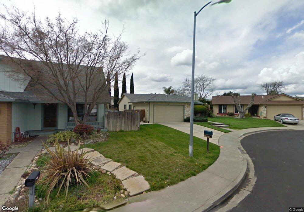
814 Bobolink Ct Suisun City, CA 94585
Estimated Value: $528,000 - $583,000
4
Beds
2
Baths
1,536
Sq Ft
$357/Sq Ft
Est. Value
About This Home
This home is located at 814 Bobolink Ct, Suisun City, CA 94585 and is currently estimated at $548,722, approximately $357 per square foot. 814 Bobolink Ct is a home located in Solano County with nearby schools including Dan O. Root Elementary School, Crystal Middle School, and Armijo High School.
Ownership History
Date
Name
Owned For
Owner Type
Purchase Details
Closed on
May 8, 2009
Sold by
Morris James W and Morris Linda M
Bought by
The James & Linda Morris Living Trust
Current Estimated Value
Purchase Details
Closed on
Oct 22, 2003
Sold by
Va
Bought by
Morris James W and Morris Linda M
Home Financials for this Owner
Home Financials are based on the most recent Mortgage that was taken out on this home.
Original Mortgage
$77,900
Outstanding Balance
$35,678
Interest Rate
5.94%
Mortgage Type
Purchase Money Mortgage
Estimated Equity
$513,044
Create a Home Valuation Report for This Property
The Home Valuation Report is an in-depth analysis detailing your home's value as well as a comparison with similar homes in the area
Home Values in the Area
Average Home Value in this Area
Purchase History
| Date | Buyer | Sale Price | Title Company |
|---|---|---|---|
| The James & Linda Morris Living Trust | -- | None Available | |
| Morris James W | -- | Placer Title Co |
Source: Public Records
Mortgage History
| Date | Status | Borrower | Loan Amount |
|---|---|---|---|
| Open | Morris James W | $77,900 |
Source: Public Records
Tax History Compared to Growth
Tax History
| Year | Tax Paid | Tax Assessment Tax Assessment Total Assessment is a certain percentage of the fair market value that is determined by local assessors to be the total taxable value of land and additions on the property. | Land | Improvement |
|---|---|---|---|---|
| 2025 | $3,023 | $265,132 | $81,159 | $183,973 |
| 2024 | $3,023 | $259,934 | $79,568 | $180,366 |
| 2023 | $2,931 | $254,838 | $78,008 | $176,830 |
| 2022 | $2,893 | $249,842 | $76,479 | $173,363 |
| 2021 | $2,863 | $244,944 | $74,980 | $169,964 |
| 2020 | $2,796 | $242,434 | $74,212 | $168,222 |
| 2019 | $2,726 | $237,681 | $72,757 | $164,924 |
| 2018 | $2,833 | $233,022 | $71,331 | $161,691 |
| 2017 | $2,707 | $228,454 | $69,933 | $158,521 |
| 2016 | $2,681 | $223,975 | $68,562 | $155,413 |
| 2015 | $2,508 | $220,612 | $67,533 | $153,079 |
| 2014 | $2,489 | $216,292 | $66,211 | $150,081 |
Source: Public Records
Map
Nearby Homes
- 1109 Canary Dr
- 819 Bluejay Dr
- 1203 Heron Dr
- 607 Crested Dr
- 808 Pochard Way
- 616 Emperor Dr
- 610 Placer Ln
- 1016 Prairie Dr
- 907 Shelduck Ct
- 1416 Prospect Way
- 906 Trumpeter Ct
- 1280 Mayfield Cir
- 508 Trumpeter Dr
- 1411 Klamath Dr
- 301 Childs Ct
- 412 Craven Dr
- 1415 Pelican Way
- 330 Engell Ct
- 518 Blue Wing Dr
- 1201 Deanza Ct