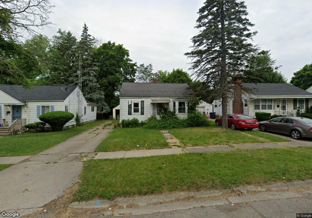
814 Hubbard Ave Flint, MI 48503
Glendale NeighborhoodEstimated Value: $46,000 - $52,864
3
Beds
1
Bath
847
Sq Ft
$58/Sq Ft
Est. Value
About This Home
This home is located at 814 Hubbard Ave, Flint, MI 48503 and is currently estimated at $48,966, approximately $57 per square foot. 814 Hubbard Ave is a home located in Genesee County with nearby schools including Durant-Tuuri-Mott Elementary School, St. Paul Lutheran School, and First Flint Seventh-day Adventist Christian School.
Ownership History
Date
Name
Owned For
Owner Type
Purchase Details
Closed on
Jun 19, 2024
Sold by
Flint River Properties Llc
Bought by
Icb Investments Llc
Current Estimated Value
Purchase Details
Closed on
Jan 12, 2016
Sold by
Zerka Milad and Terka Georgette
Bought by
Flint River Properties Llc
Purchase Details
Closed on
Sep 15, 2004
Sold by
Altegra Credit Co
Bought by
Homecomings Financial Network Inc
Purchase Details
Closed on
Dec 17, 2003
Sold by
Fuentes Marlou G and Fuentes Rogelio
Bought by
Altegra Credit Co
Create a Home Valuation Report for This Property
The Home Valuation Report is an in-depth analysis detailing your home's value as well as a comparison with similar homes in the area
Home Values in the Area
Average Home Value in this Area
Purchase History
| Date | Buyer | Sale Price | Title Company |
|---|---|---|---|
| Icb Investments Llc | $43,500 | First American Title | |
| Flint River Properties Llc | -- | Attorney | |
| Homecomings Financial Network Inc | -- | First American Title | |
| Altegra Credit Co | $63,750 | -- |
Source: Public Records
Tax History Compared to Growth
Tax History
| Year | Tax Paid | Tax Assessment Tax Assessment Total Assessment is a certain percentage of the fair market value that is determined by local assessors to be the total taxable value of land and additions on the property. | Land | Improvement |
|---|---|---|---|---|
| 2025 | $827 | $22,400 | $0 | $0 |
| 2024 | $773 | $19,200 | $0 | $0 |
| 2023 | $762 | $14,100 | $0 | $0 |
| 2022 | $0 | $12,000 | $0 | $0 |
| 2021 | $768 | $11,000 | $0 | $0 |
| 2020 | $714 | $10,800 | $0 | $0 |
| 2019 | $704 | $10,500 | $0 | $0 |
| 2018 | $677 | $10,200 | $0 | $0 |
| 2017 | $662 | $0 | $0 | $0 |
| 2016 | $662 | $0 | $0 | $0 |
| 2015 | -- | $0 | $0 | $0 |
| 2014 | -- | $0 | $0 | $0 |
| 2012 | -- | $8,800 | $0 | $0 |
Source: Public Records
Map
Nearby Homes
- 916 Mann Ave
- 960 Mann Ave
- 976 Barney Ave
- 3414 Van Buren Ave
- 3821 W Court St
- 960 Salisbury Ave
- 996 Barney Ave
- 3921 Joyner St
- 3705 Gratiot Ave
- 863 Tacken St
- 911 Hughes Ave
- 874 Tacken St
- 870 Tacken St
- 866 Tacken St
- 3517 Norwood Dr
- 959 Tacken St
- 1017 Stocker Ave
- 1010 Hughes Ave
- 2913 Gibson St
- 3413 Augusta St
- 818 Hubbard Ave
- 810 Hubbard Ave
- 806 Hubbard Ave
- 822 Hubbard Ave
- 3512 W Court St
- 825 S Ballenger Hwy
- 802 Hubbard Ave
- 813 Hubbard Ave
- 819 Hubbard Ave
- 807 Hubbard Ave
- 801 Hubbard Ave
- 734 Hubbard Ave
- 902 Hubbard Ave
- 806 Barney Ave Unit Bldg-Unit
- 806 Barney Ave
- 802 Barney Ave
- 812 Barney Ave
- 733 Hubbard Ave
- 901 S Ballenger Hwy
- 901 Hubbard Ave