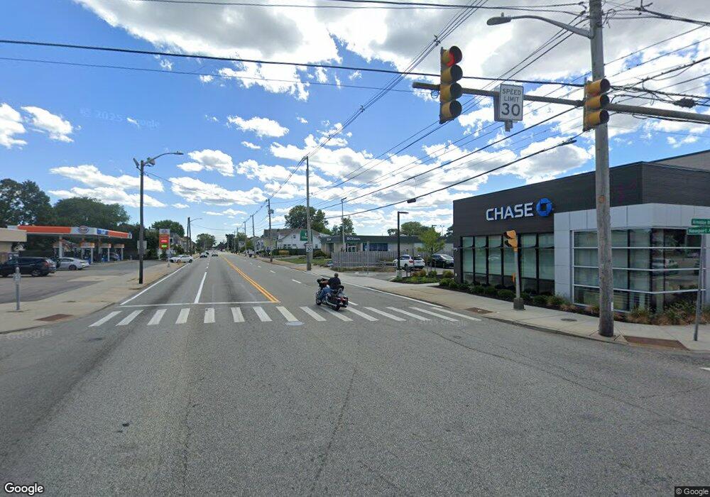
814 Newport Ave Pawtucket, RI 02861
Darlington NeighborhoodEstimated Value: $2,675,397
--
Bed
--
Bath
3,315
Sq Ft
$807/Sq Ft
Est. Value
About This Home
This home is located at 814 Newport Ave, Pawtucket, RI 02861 and is currently estimated at $2,675,397, approximately $807 per square foot. 814 Newport Ave is a home located in Providence County with nearby schools including St Cecilia School and Saint Teresa Catholic Elementary School.
Ownership History
Date
Name
Owned For
Owner Type
Purchase Details
Closed on
Nov 6, 2024
Sold by
Newporrt Ave Realty Llc
Bought by
Jpmorgan Chase Bank Na
Current Estimated Value
Purchase Details
Closed on
Dec 11, 2015
Sold by
B & K Realty Co
Bought by
Kipps Corner Llc
Home Financials for this Owner
Home Financials are based on the most recent Mortgage that was taken out on this home.
Original Mortgage
$85,500
Interest Rate
3.77%
Mortgage Type
Commercial
Create a Home Valuation Report for This Property
The Home Valuation Report is an in-depth analysis detailing your home's value as well as a comparison with similar homes in the area
Home Values in the Area
Average Home Value in this Area
Purchase History
| Date | Buyer | Sale Price | Title Company |
|---|---|---|---|
| Jpmorgan Chase Bank Na | $2,545,454 | None Available | |
| Jpmorgan Chase Bank Na | $2,545,454 | None Available | |
| Kipps Corner Llc | $712,000 | -- | |
| Kipps Corner Llc | $712,000 | -- |
Source: Public Records
Mortgage History
| Date | Status | Borrower | Loan Amount |
|---|---|---|---|
| Previous Owner | Kipps Corner Llc | $85,500 |
Source: Public Records
Tax History Compared to Growth
Tax History
| Year | Tax Paid | Tax Assessment Tax Assessment Total Assessment is a certain percentage of the fair market value that is determined by local assessors to be the total taxable value of land and additions on the property. | Land | Improvement |
|---|---|---|---|---|
| 2025 | $67,725 | $2,943,300 | $443,300 | $2,500,000 |
| 2024 | $63,575 | $2,943,300 | $443,300 | $2,500,000 |
| 2023 | $10,944 | $369,100 | $369,100 | $0 |
| 2022 | $18,404 | $634,200 | $369,100 | $265,100 |
| 2021 | $18,404 | $634,200 | $369,100 | $265,100 |
| 2020 | $23,777 | $689,800 | $369,100 | $320,700 |
| 2019 | $23,777 | $689,800 | $369,100 | $320,700 |
| 2018 | $22,908 | $689,800 | $369,100 | $320,700 |
| 2017 | $22,574 | $647,200 | $359,700 | $287,500 |
| 2016 | $21,752 | $647,200 | $359,700 | $287,500 |
| 2015 | $21,752 | $647,200 | $359,700 | $287,500 |
| 2014 | $20,103 | $651,000 | $390,900 | $260,100 |
Source: Public Records
Map
Nearby Homes
- 826 Newport Ave
- 509 Armistice Blvd
- 510 Armistice Blvd
- 823 Newport Ave
- 516 Armistice Blvd
- 508 Armistice Blvd
- 617 Propsect St
- 00 Address Withheld Ave
- 268 Post Rd
- 500 Armistice Blvd
- 539 Armistice Blvd Unit 2
- 790 Newport Ave
- 543 Armistice Blvd
- 148 Littlefield St
- 102 Hatfield St
- 104 Hatfield St
- 801 Newport Ave
- 114 Hatfield St
- 496 Armistice Blvd
- 84 Littlefield St