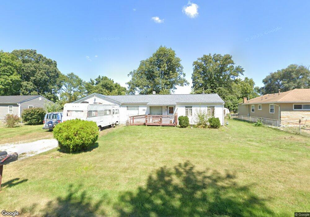
814 Rumsey Rd Columbus, OH 43207
Obetz-Lockbourne NeighborhoodEstimated Value: $197,574 - $214,000
4
Beds
1
Bath
1,344
Sq Ft
$151/Sq Ft
Est. Value
About This Home
This home is located at 814 Rumsey Rd, Columbus, OH 43207 and is currently estimated at $202,394, approximately $150 per square foot. 814 Rumsey Rd is a home located in Franklin County with nearby schools including Parsons Elementary School, Buckeye Middle School, and Marion-Franklin High School.
Ownership History
Date
Name
Owned For
Owner Type
Purchase Details
Closed on
Mar 28, 2003
Sold by
Snider Phyllis P and Snider Stanley A
Bought by
Snider Bryan Mccelland and Snider Bryan Allen Selva
Current Estimated Value
Purchase Details
Closed on
May 16, 2002
Sold by
Snider Stanley A and Snider Phyllis P
Bought by
Snider Bryan Allen Selva
Purchase Details
Closed on
May 10, 1999
Sold by
Snider Stanley A and Snider Phylli
Bought by
Snider Stanley Allen and Snider Phyllis P
Purchase Details
Closed on
Jan 25, 1966
Bought by
Snider Stanley A and Snider Phylli
Create a Home Valuation Report for This Property
The Home Valuation Report is an in-depth analysis detailing your home's value as well as a comparison with similar homes in the area
Home Values in the Area
Average Home Value in this Area
Purchase History
| Date | Buyer | Sale Price | Title Company |
|---|---|---|---|
| Snider Bryan Mccelland | -- | -- | |
| Snider Bryan Allen Selva | -- | -- | |
| Snider Stanley Allen | -- | -- | |
| Snider Stanley Allen | -- | -- | |
| Snider Stanley A | -- | -- |
Source: Public Records
Tax History
| Year | Tax Paid | Tax Assessment Tax Assessment Total Assessment is a certain percentage of the fair market value that is determined by local assessors to be the total taxable value of land and additions on the property. | Land | Improvement |
|---|---|---|---|---|
| 2025 | $2,726 | $70,530 | $22,020 | $48,510 |
| 2024 | $2,726 | $70,530 | $22,020 | $48,510 |
| 2023 | $2,719 | $70,530 | $22,020 | $48,510 |
| 2022 | $1,265 | $33,150 | $18,830 | $14,320 |
| 2021 | $1,268 | $33,150 | $18,830 | $14,320 |
| 2020 | $1,269 | $33,150 | $18,830 | $14,320 |
| 2019 | $1,162 | $27,900 | $16,380 | $11,520 |
| 2018 | $580 | $27,900 | $16,380 | $11,520 |
| 2017 | $1,161 | $27,900 | $16,380 | $11,520 |
| 2016 | $898 | $22,300 | $4,380 | $17,920 |
| 2015 | $407 | $22,300 | $4,380 | $17,920 |
| 2014 | $817 | $22,300 | $4,380 | $17,920 |
| 2013 | $438 | $23,485 | $4,620 | $18,865 |
Source: Public Records
Map
Nearby Homes
- 780 Basswood Rd
- 860 Basswood Rd
- 3302 Hilock Place
- 0 Williams Rd
- 691 Colton Rd
- 3251 Hilock Ct
- 884 Bruckner Rd
- 1127 Rumsey Rd
- 3608 S Champion Ave
- 1138 Hilock Rd Unit 35
- 3531 Lockbourne Rd
- 1633-1635 E Greenway Ave
- 1118 Maplewood Rd
- 435 Carolann Ave
- 3380 Parsons Ave
- 562 Ashwood Rd
- 460 Coulter Ave
- 525 Ashwood Rd
- 577 Barcher Rd
- 904 Kyle Ave
- 800 Rumsey Rd
- 796 Rumsey Rd
- 820 Rumsey Rd
- 817 Stockbridge Rd
- 825 Stockbridge Rd
- 805 Stockbridge Rd
- 837 Stockbridge Rd
- 856 Rumsey Rd
- 786 Rumsey Rd
- 845 Stockbridge Rd
- 797 Stockbridge Rd
- 797 Rumsey Rd
- 791 Rumsey Rd
- 785 Stockbridge Rd
- 857 Stockbridge Rd
- 803 Rumsey Rd
- 865 Stockbridge Rd
- 777 Stockbridge Rd
- 772 Rumsey Rd
- 835 Rumsey Rd
Your Personal Tour Guide
Ask me questions while you tour the home.