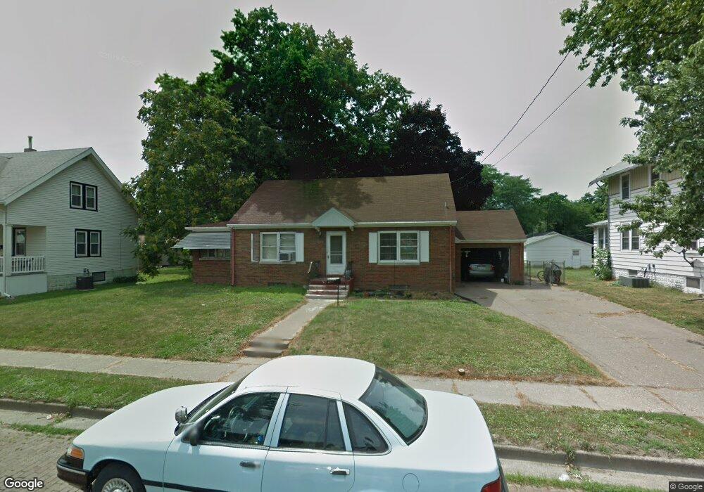
814 S Ohio Ave Davenport, IA 52802
West End NeighborhoodEstimated Value: $124,000 - $135,000
2
Beds
4
Baths
1,044
Sq Ft
$124/Sq Ft
Est. Value
About This Home
This home is located at 814 S Ohio Ave, Davenport, IA 52802 and is currently estimated at $129,218, approximately $123 per square foot. 814 S Ohio Ave is a home located in Scott County with nearby schools including Hayes Elementary School, Frank L. Smart Intermediate School, and West High School.
Ownership History
Date
Name
Owned For
Owner Type
Purchase Details
Closed on
Oct 6, 2020
Sold by
Gilland Chad V
Bought by
Gilland Chad V and Gilland Todd A
Current Estimated Value
Create a Home Valuation Report for This Property
The Home Valuation Report is an in-depth analysis detailing your home's value as well as a comparison with similar homes in the area
Home Values in the Area
Average Home Value in this Area
Purchase History
| Date | Buyer | Sale Price | Title Company |
|---|---|---|---|
| Gilland Chad V | -- | None Available |
Source: Public Records
Tax History Compared to Growth
Tax History
| Year | Tax Paid | Tax Assessment Tax Assessment Total Assessment is a certain percentage of the fair market value that is determined by local assessors to be the total taxable value of land and additions on the property. | Land | Improvement |
|---|---|---|---|---|
| 2024 | $928 | $110,570 | $25,810 | $84,760 |
| 2023 | $826 | $110,570 | $25,810 | $84,760 |
| 2022 | $1,914 | $85,500 | $20,970 | $64,530 |
| 2021 | $786 | $83,200 | $20,970 | $62,230 |
| 2020 | $1,454 | $75,710 | $20,970 | $54,740 |
| 2019 | $1,442 | $72,830 | $20,970 | $51,860 |
| 2018 | $1,408 | $72,830 | $20,970 | $51,860 |
| 2017 | $1,462 | $72,830 | $20,970 | $51,860 |
| 2016 | $1,404 | $72,830 | $0 | $0 |
| 2015 | $1,404 | $83,030 | $0 | $0 |
| 2014 | $1,650 | $83,030 | $0 | $0 |
| 2013 | $1,618 | $0 | $0 | $0 |
| 2012 | -- | $80,710 | $23,850 | $56,860 |
Source: Public Records
Map
Nearby Homes
- 3609 Boies Ave
- 1109 S Michigan Ave
- 1023 S Elsie Ave
- 1018 S Concord St
- 3712 Johnson Ave
- 3216 Indian Rd
- 3151 Diehn Ave
- 3631 Homestead Ave
- 3711 Pearl Ave
- 3125 Pearl Ave
- 815 S Dittmer St
- 3412 Michigan
- 1515 S Concord St
- 3123 Commodore St
- 2736 Rockingham Rd
- 2614 Mckinley Ave
- 3011 Telegraph Rd
- 3003 Telegraph Rd
- 3400 Telegraph Rd
- 2502 Rockingham Rd
- 806 S Ohio Ave
- 820 S Ohio Ave
- 802 S Ohio Ave
- 824 S Ohio Ave
- 3417 Boies Ave
- 3423 Boies Ave
- 807 S Ohio Ave
- 815 S Ohio Ave
- 720 S Ohio Ave
- 3414 Rockingham Rd
- 3402 Rockingham Rd
- 821 S Ohio Ave
- 3427 Boies Ave
- 3225 Boies Ave
- 3234 Boies Ave
- 3414 Boies Ave
- 835 S Ohio Ave
- 714 S Ohio Ave
- 3418 Boies Ave
- 3230 Boies Ave