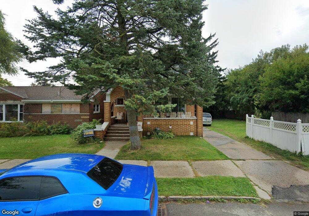
8146 Quinn St Detroit, MI 48234
Mount Olivet NeighborhoodEstimated Value: $68,000 - $87,000
--
Bed
2
Baths
1,638
Sq Ft
$46/Sq Ft
Est. Value
About This Home
This home is located at 8146 Quinn St, Detroit, MI 48234 and is currently estimated at $76,000, approximately $46 per square foot. 8146 Quinn St is a home located in Wayne County with nearby schools including Marion Law Academy, Edward 'Duke' Ellington Conservatory of Music and Art, and Charles L. Spain Elementary-Middle School.
Ownership History
Date
Name
Owned For
Owner Type
Purchase Details
Closed on
Feb 11, 2020
Sold by
United Community Housing Coalition
Bought by
Harrison Carolyn Marie and Harrison Sharodney M
Current Estimated Value
Purchase Details
Closed on
Jan 15, 2020
Sold by
City Of Detriot
Bought by
United Community Housing Coalition
Purchase Details
Closed on
Sep 18, 2019
Sold by
County Of Wayne
Bought by
City Of Detroit Planning And Dev Dept
Create a Home Valuation Report for This Property
The Home Valuation Report is an in-depth analysis detailing your home's value as well as a comparison with similar homes in the area
Home Values in the Area
Average Home Value in this Area
Purchase History
| Date | Buyer | Sale Price | Title Company |
|---|---|---|---|
| Harrison Carolyn Marie | $1,000 | None Available | |
| United Community Housing Coalition | $139,796 | None Available | |
| City Of Detroit Planning And Dev Dept | $1,767 | None Available |
Source: Public Records
Tax History Compared to Growth
Tax History
| Year | Tax Paid | Tax Assessment Tax Assessment Total Assessment is a certain percentage of the fair market value that is determined by local assessors to be the total taxable value of land and additions on the property. | Land | Improvement |
|---|---|---|---|---|
| 2025 | $957 | $0 | $0 | $0 |
| 2024 | $957 | $24,900 | $0 | $0 |
| 2023 | $927 | $19,800 | $0 | $0 |
| 2022 | $1,009 | $14,800 | $0 | $0 |
| 2021 | $1,024 | $10,600 | $0 | $0 |
| 2020 | $240 | $0 | $0 | $0 |
| 2019 | $901 | $9,400 | $0 | $0 |
| 2018 | $822 | $9,900 | $0 | $0 |
| 2017 | $195 | $10,300 | $0 | $0 |
| 2016 | $1,586 | $17,600 | $0 | $0 |
| 2015 | $1,959 | $0 | $0 | $0 |
| 2013 | $1,959 | $19,585 | $0 | $0 |
| 2010 | -- | $28,714 | $663 | $28,051 |
Source: Public Records
Map
Nearby Homes
- 8119 E Hildale St
- 8100 Stockton St
- 8062 Stockton St
- 8291 E Brentwood St
- 8095 Orion St
- 19126 Stotter St
- 7483 E Brentwood St
- 5727 E Outer Dr
- 18666 Carrie St
- 8022 Yolanda St
- 18696 Gruebner St
- 8063 Yolanda St
- 19190 Rogge St
- 19202 Rogge St
- 19161 Rogge St
- 18824 Helen St
- 19363 Packard St
- 19357 Packard St
- 19423 Spencer St
- 5130 E Outer Dr
- 8138 Quinn St
- 8132 Quinn St
- 8147 E Hildale St
- 8141 E Hildale St
- 8155 E Hildale St
- 8200 Quinn St
- 8118 Quinn St
- 8147 Quinn St
- 8127 E Hildale St
- 8133 Quinn St
- 8212 Quinn St
- 8205 E Hildale St
- 8125 Quinn St
- 8203 Quinn St
- 8119 Quinn St
- 8104 Quinn St
- 8111 E Hildale St
- 8218 Quinn St
- 8215 E Hildale St
- 8110 Quinn St