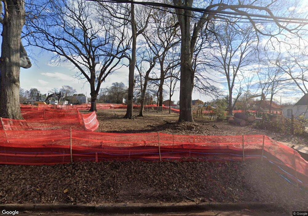
815 Reese St Athens, GA 30606
Cobbham NeighborhoodEstimated Value: $514,000 - $899,000
--
Bed
--
Bath
344
Sq Ft
$1,962/Sq Ft
Est. Value
About This Home
This home is located at 815 Reese St, Athens, GA 30606 and is currently estimated at $674,961, approximately $1,962 per square foot. 815 Reese St is a home with nearby schools including Johnnie Lay Burks Elementary School, Clarke Middle School, and Clarke Central High School.
Ownership History
Date
Name
Owned For
Owner Type
Purchase Details
Closed on
Jul 1, 2021
Sold by
Flp Athens Re Llc
Bought by
Nrf Athens Property Owner Llc
Current Estimated Value
Purchase Details
Closed on
Dec 26, 2019
Sold by
Evelyn And Frank Gordy Family Lp
Bought by
Flp Athens Re Llc
Purchase Details
Closed on
Aug 21, 1997
Sold by
Gordy-Rankin Evelyn J and Nancy Gordy
Bought by
Evelyn & Frank Gordy Family L P
Purchase Details
Closed on
Dec 29, 1994
Sold by
Gordy W F
Bought by
Gordy-Rankin Evelyn J and Nancy Gordy
Create a Home Valuation Report for This Property
The Home Valuation Report is an in-depth analysis detailing your home's value as well as a comparison with similar homes in the area
Home Values in the Area
Average Home Value in this Area
Purchase History
Date | Buyer | Sale Price | Title Company |
---|---|---|---|
Nrf Athens Property Owner Llc | -- | -- | |
Nrf Athens Property Owner Llc | $7,540,800 | -- | |
Flp Athens Re Llc | -- | -- | |
Evelyn & Frank Gordy Family L P | $4,878,300 | -- | |
Gordy-Rankin Evelyn J | -- | -- |
Source: Public Records
Tax History Compared to Growth
Tax History
Year | Tax Paid | Tax Assessment Tax Assessment Total Assessment is a certain percentage of the fair market value that is determined by local assessors to be the total taxable value of land and additions on the property. | Land | Improvement |
---|---|---|---|---|
2024 | $7,408 | $237,069 | $220,864 | $16,205 |
2023 | $7,408 | $234,558 | $220,864 | $13,694 |
2022 | $7,425 | $232,761 | $220,864 | $11,897 |
2021 | $7,738 | $229,606 | $220,864 | $8,742 |
2020 | $7,707 | $228,706 | $220,864 | $7,842 |
2019 | $722 | $21,257 | $21,257 | $0 |
2018 | $722 | $21,257 | $21,257 | $0 |
2017 | $722 | $21,257 | $21,257 | $0 |
2016 | $722 | $21,257 | $21,257 | $0 |
2015 | $723 | $21,257 | $21,257 | $0 |
2014 | $724 | $21,257 | $21,257 | $0 |
Source: Public Records
Map
Nearby Homes
- 550 Dearing St Unit 30
- 1376 W Hancock Ave
- 475 Meigs St
- 257 Hill St
- 365 S Church #1c St
- 365 S Church #1b St
- 365 S Church #1a St
- 365 S Church St Unit 1B
- 365 S Church St Unit 1C
- 365 S Church St Unit 1A
- 465 Hillcrest Ave
- 570 Prince Ave
- 340 Paris St
- 494 Baxter St Unit 32
- 90 Hart Ave
- 290 Hodgson Dr
- 120 Mathews Ave
- 174 Talmadge St Unit 18
- 525 King Ave